


Kogria Mountains
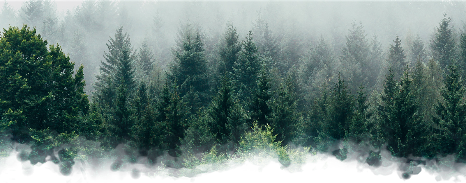
Forming the eastern half of Nisaba Pass, the Kogria Ridge is a formation of block mountains in the Talaina'Vao region of Tolara; at 13,802 ft (4,207 m) above sea level at their highest, and 6,269 ft (1,911 m), they are shorter in elevation than their western counterpart, the Hiatal Mountains. The Kogria Mountains are equally as treacherous to navigate, however- playing host to a variety of dangers, and frequently subject to rapid and unpredictable weather changes. These dangers are not limited to a single season like other regions, but are instead at all times of the year. Primarily composed of mixed limestone and granite, the Korgia Mountains stretch from just north of Nisaba Pass, through the straight, and into the southern peninsula of Tolara. Due to their length, they host a range of diverse ecosystems that can be divided into three distinct areas: North, central, and south. Through the center of Nisaba Pass between the two ranges runs the Cimanos River. The presence of water in the river, coupled with frequent temperatures above 70°F (20°C) in the low lying pass, produces regular fog that moves up the mountains, eventually forming rain when the air becomes too saturated. In the northern section, the Kogria Mountains see rainfall averages on par with Ar'Lasang Vaerda'Ky- receiving around 40 inches (1010 mm) during the rainy season... Moving into the central region, however, average rainfall increases drastically to 60 to 160 inches (152 to 406 cm). This increase remains consistent in the southern portion of the mountains, where the range tapers off into the Donesh Dry Forest.


Comments
Author's Notes