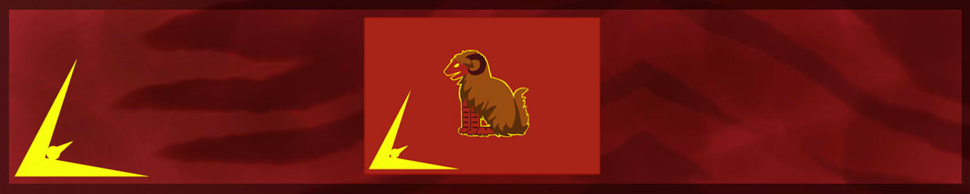
Thaur Island Geographic Location in Symbols of Power | World Anvil

Thaur Island

The Haan Archipelago
Portrait of Danae, a holding his peace bird pen and a book containing a map
Danae by Naelin
The cartographer Danae from the City of Birdland in Thaur was commissioned to draw a map of the Haan Archipelago for the second edition of The Book of the Habits and Beasts, published in the 3rd of Birthing, 3 E.Ru.   Danae took advantage of the enclyclopaedia's team of researchers to gather precise information and went himself into research expeditions to survey remote areas. His work resulted in what is considered the most accurate and widespread map of the Archipelago to this day, which details even most of the coasts of the Savage Isles.
Thaur Island is a big sized island located at almost the centre of the Haan Archipelago.   It is surrounded by the island of Dhalmain at the west, Stunveldt and Ruh islands at the south, and Red Crest Islands at the north.   Before the High Rust, the island housed the Kingdom of Merthiorn all across the west half, and the city-state of Bregos in the middle of the mountains. At that time, the island was simply known as Island of Merthiorn.   After the fall of Merthiorn and Bregos, the surviving population reunited under the new Kingdom of Thaur, which spans mostly across the south-west coast.   The main population of the island are furries, though several waves of immigration made it the island with the most diversity in regards to societarians, containing stable groups of all known races.
 

Geography

The island has a temperate, subtropical climate, with a medium-sized group of mountains at the west, two very big lakes at the east, and several jungles, the main one surrounding the Delta of Many Birds at the south. The island has a curved coast at the west, and two peninsulas connected by an almost-straight coast at the west. The north coast is jagged and contains dozens of small and uninhabitable rocky islands.

Flora and Fauna

20200827 - Blossom Gnaw sketch.jpg
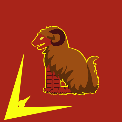
Blossom Gnaw by Naelín
Thaur Island has a vibrant flora and fauna, a lot of it concentrated in the Delta of Many Birds. Recently, the biologist Welkinal started conducting research on the island, discovering species like the mysterious Blossom Gnaw, which pollinates the delta's flowers using his back. Another emblematic creature of the delta is the legar, a dangerous apex predator that roams the small channels and coasts. The mountains have a stable population of tetsus and doisus, and the plains are ripe with alzufhars. Thaur also contains the dying population of sceapilions and hierdes, impacted by the very fast movement and expansion of societarians across the island on the last hundred years.
Thaur Island

Articles under Thaur Island


Cover image: Banner for Thaur by Naelin

Comments

Please Login in order to comment!
Dec 18, 2020 18:11 by Dr Emily Vair-Turnbull

Really nice article! I like the bit about flora and fauna, and the history of the island at the beginning. :) The map is lovely too! :D

Emy x   Etrea | Vazdimet
Dec 19, 2020 01:11

Thank you very much Emy!

Dec 21, 2020 08:01

Cool place! Everything on the map appears to be on the western side, what's going on in the east?
I think it'd be useful to add a tooltip to something like "furries" and "societarian races" so that your reader knows what these mean in your world.
I love the idea of the Delta of Many Birds, sounds like a place I'd love to visit!   PS: At which point do you start calling your islands continents? ;P

Feb 19, 2021 20:07

Thanks for your super-useful comment Silo <3 The east is mostly wilderness! That's the part that Welkinal is focusing on ;) Highly exploitable wilderness, but the Thaur empire is too small yet to expand so much.   I've added the links/tooltips you suggested, thanks!   Regarding the islands, the entire map is approximately the size of UK! Most of the islands are quite small :)