The Shifting Channel
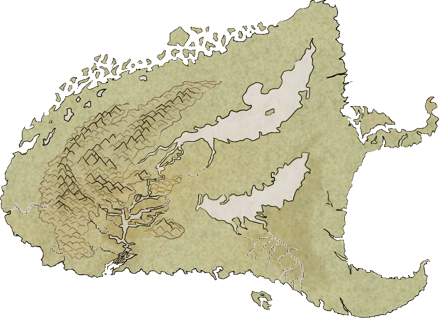
The islands of Red Crest and Thaur have had intense trade with each other for the past several centuries, specially due to the former having been first a colony and then a puppet state of the latter (By the now fallen Kingdom of Merthiorn).
Both islands have spent enormous efforts marking the best routes to go between trading settlements on their coasts due to the incredibly treacherous nature of the sea that separates the two, known as The Shifting Channel, by placing hundreds of pylons and buoys with colours and signals.
The reason for this is the nature of the channel, especially on the side of Thaur's north coast, is how it is filled with rocky, unstable tidal islands that get hidden and revealed by the waves and tides constantly. While some of them are quite big and visible, a lot of them are hidden and barely scratching the surface most of the time, making shipwrecks a common occurrence for those that do not follow each indication with the utmost care.
In the past, bigger ships tended to avoid the channel entirely, or be assisted by a probing boat, a smaller and wide boat with a very short draft that would escort the bigger ship as her crew used very long poles to probe the water and check for hidden rock formations.
Both coasts produce great fishing, with several towns like Deep Cue Garn living off of it.
Natural resources and ecosystem
The jagged seabed on the Shifting Channel houses a thriving ecosystem of flora and fauna such as the endeler, that use the naturally created caves and intricate mounds to live.Both coasts produce great fishing, with several towns like Deep Cue Garn living off of it.


Comments