Red Crest Islands
At the northernmost end of the Haan Archipelago lies an island of around 470 km from west to east, with coasts peppered with a collection of small landmasses merely a couple of kilometres across.
The formation is collectively known as Red Crest, and lies just north of the islands of Thaur and Dhalmain.
The island has one big white forest area, and one delta section in the middle and one in the northeast coast.
The mountains are all in an extensive badlands terrain, and are therefore quite barren and noticeably orange-red in colour, giving the island its name.
Anything that touches this liquid is instantly frozen, turning living matter into brittle chunks in mere seconds. This liquid has been used for several centuries as a method of decorating the skin of furry societarians known as "Freeze Branding" or "Cave Branding", the last coming from the fact that this can only be performed in this cave, as the liquid is essential to the method: A specially crafted metal brand is submerged in the liquid until it's extremely cold, and when applied at this temperature to the shaved skin of a furry, it makes the fur come back white permanently. The source of the liquid is unknown, though some people believe that a Night Dweller lives at the bottom of the pool and generates or freezes it.
Hundreds of pylons and buoys have been placed in the channel in order to avoid the many shipwrecks that the hidden rocks have caused. Perhaps the most recognisable creature endemic to the Red Crest Islands is the mirkelin, a mischevious pactual flightless avian that thrives in societarian settlements. They are abundant and have many varieties, though they can only be found on this island.
 Herald's gnaws are present through the mountains of the islands, and represented in the country's flag.
The mountains are also populated by doisus, hopists, hapists and of course tetsus.
Mining is one of the big industries on the island due to the unique qualities of their mountains, which provide excellent building materials.
 Red Crest is inhabited by a population of furry and waterland silky societarians that stayed under the rule of the Kingdom of Merthiorn until 2985 E.Alz, when Queen Tesel granted them their independence under the rule of her son, Prince Virgilim.
However, this independence wasn't much more than a courtesy, as in reality the country simply turned into a puppet state of Merthiorn up until The High Rust caused its fall in 3014 E.Alz. Nowadays the Principality of Red Crest is a nation in socio-economical turmoil fighting back for their rights.
The practice and study of philosophy is an important part of this cultural pushback, with the group of philosophers from the City of Vythlan known as The Circlecrats leading in areas of resistance.
The formation is collectively known as Red Crest, and lies just north of the islands of Thaur and Dhalmain.
Geography
Red Crest is a peculiar island that contains the most extensive badlands area in the archipelago, while its south border is much more lush.The island has one big white forest area, and one delta section in the middle and one in the northeast coast.
Mountain ranges
Red Crest has four distinct, small mountain ranges that sit parallel to each other, going across the middle of the island from north to south.The mountains are all in an extensive badlands terrain, and are therefore quite barren and noticeably orange-red in colour, giving the island its name.
The Cave of the Frozen Scars
Located in the westernmost mountain range of the island, very close to the conjunction of a white forest formation, a regular plain, a badlands desert and the source of the Vyka river, there is a famous cave that contains deep inside a pool of an impossibly cold liquid that emits a dense white fog.
Anything that touches this liquid is instantly frozen, turning living matter into brittle chunks in mere seconds. This liquid has been used for several centuries as a method of decorating the skin of furry societarians known as "Freeze Branding" or "Cave Branding", the last coming from the fact that this can only be performed in this cave, as the liquid is essential to the method: A specially crafted metal brand is submerged in the liquid until it's extremely cold, and when applied at this temperature to the shaved skin of a furry, it makes the fur come back white permanently. The source of the liquid is unknown, though some people believe that a Night Dweller lives at the bottom of the pool and generates or freezes it.
The Shifting Channel
The stretch of water south of the island that separates it from the Kingdom of Thaur received the name of The Shifting Channel due to the way the treacherous currents and tides hide and reveal the many small tidal islands and rocks between the two.Hundreds of pylons and buoys have been placed in the channel in order to avoid the many shipwrecks that the hidden rocks have caused.
Natural Riches
Native Fauna
Herald's Gnaw by Naelín
The mountains are also populated by doisus, hopists, hapists and of course tetsus.
Native Flora
Minerals
The mountains in Red Crest are rich in numerous minerals, especially copper, aluminium, clay and plaster.Mining is one of the big industries on the island due to the unique qualities of their mountains, which provide excellent building materials.
The People of Red Crest
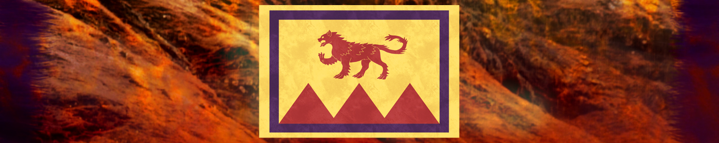
Shield of Red Crest
However, this independence wasn't much more than a courtesy, as in reality the country simply turned into a puppet state of Merthiorn up until The High Rust caused its fall in 3014 E.Alz. Nowadays the Principality of Red Crest is a nation in socio-economical turmoil fighting back for their rights.
The practice and study of philosophy is an important part of this cultural pushback, with the group of philosophers from the City of Vythlan known as The Circlecrats leading in areas of resistance.

Red Crest Islands by Naelin
Type
Island
Location under
Included Locations
Included Organizations
Owner/Ruler
Owning Organization
Related Ethnicities
Inhabiting Species
Related Myths

Danae by Naelin


Great geography article, Naelin! :) I think the Cave of Frozen Scars is my favourite bit. I like you have the timeline with the history too.