Haan Archipelago
The group of islands inhabited by the societarians is called the Haan Archipelago. It spans roughly 1060km from the westernmost coast of the Larea islands to the easternmost coast of Karte and has, in general, a humid and temperate climate.
Societarians have standardized a map of the archipelago perfected by the cartographer Danae from the island of Thaur, who aggregated all the previous records and corrected measuring, added new information on barely explored areas and, more importantly, got it published as part of the famous encyclopedia
The Book of Habits and Beasts.
The current map, however, is not complete, and several areas (Notoriously the sea north of Karte, and the islands south of Daltael) remain mostly unexplored, with little more than vague guesses about what is going on on them.
Its jagged southwest coast and peninsular north coast give it a total length of around 200km from northernmost to southernmost points.
Dhalmain is occupied by a country under a parliamentary government and is well known for his comparatively advanced and more organized technology, and its extensive domestication of alzufhars. The island is mostly populated by people of feathery and waterland types, with the latter occupying mostly the vast amount of coastal settlements all around the south and east coasts of the island. The west coast is scarcely inhabited by societarians, as a large portion of it is the territory of a legendary and infamous tetsu known as Tetramerge.
Karte Island
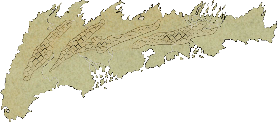
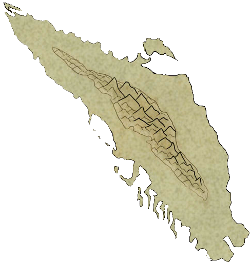
Karte is the biggest and easternmost island of the archipelago (Spaning around 600km from northernmost to southernmost coasts), with big expanses of plains, deserts and savannahs to the west, and a mountain range at the east coast. The north half contains the biggest white forest (and woodlands) of the archipelago, the Chalk Expanse. It is inhabited mostly by societarians of scaly race, and under a monarchy maintained by a small and close-knit aristocracy of furries. Karte contains several long rivers, most notoriously the wide Tismasul to the south (Which shares its name with the capital of Stunveldt), The Tantalej and Termatron to the west and east of the City of Dia, and the Toxapactos to the north of the last two. The east of the island has almost no people, as it is past a mountain range filled with tetsus.Thaur Island
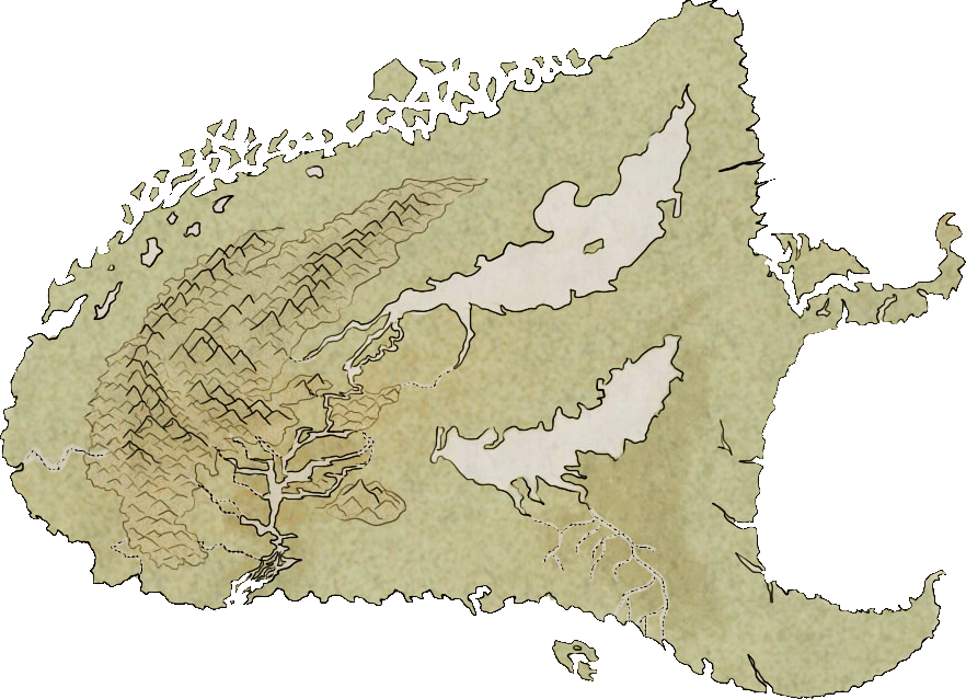
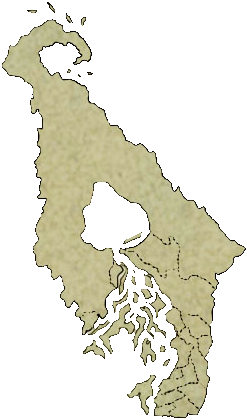
The Thaur island is located northwest of the archipelago, surrounded by Dhalmain at the west, Stunveldt and Ruh at the south, and Red Crest at the north. It has a temperate, subtropical climate, with a medium-sized group of mountains at the west, two very big lakes at the east, and several jungles, the main one surrounding the Delta of Many Birds at the south. The north coast is jagged and contains dozens of small and uninhabitable rocky islands.
Before the High Rust, the island housed the kingdom of Merthiorn and the city-state of Bregos, and was known with the name of the former. It is now occupied by the new Kingdom of Thaur.
Before the High Rust, the island housed the kingdom of Merthiorn and the city-state of Bregos, and was known with the name of the former. It is now occupied by the new Kingdom of Thaur.
The main population of the island are furries , though a lot of immigration made it the most diverse island in regards to societarian demography.
Red Crest Islands
The northernmost island of the archipelago is known as Red Crest by the colour and shape of the tall mountains that form small three small ranges on it.
The north coast is jagged and full of precipices, and the island's climate is more arid than the rest of the archipelago. While the number of islands under this name is quite smaller than those of Thaur, Red Crest is called a group simply because the small islands to the south of it are habitable, and contain distinct groups of people on each.
The Red Crest islands are inhabited mostly by societarians of furry race under a principality that, before the High Rust, was a puppet state of Merthiorn.
The Red Crest islands are inhabited mostly by societarians of furry race under a principality that, before the High Rust, was a puppet state of Merthiorn.
Dhalmain Island
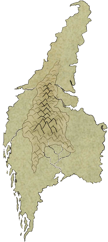
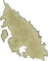
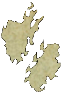
The island of Dhalmain is located west of Thaur and Stunveldt, and south of Red Crest. It features a group of mountains at the centre, plagued by ferocious tetsus, and an important river on the south coast known as the Four Peaks River due to how it starts as four separate thaw rivers from different mountains.Its jagged southwest coast and peninsular north coast give it a total length of around 200km from northernmost to southernmost points.
Dhalmain is occupied by a country under a parliamentary government and is well known for his comparatively advanced and more organized technology, and its extensive domestication of alzufhars. The island is mostly populated by people of feathery and waterland types, with the latter occupying mostly the vast amount of coastal settlements all around the south and east coasts of the island. The west coast is scarcely inhabited by societarians, as a large portion of it is the territory of a legendary and infamous tetsu known as Tetramerge.
Maps
-
The Haan Archipelago
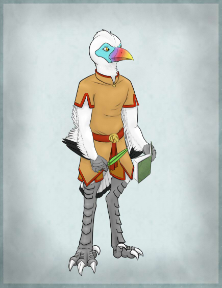
The cartographer Danae from the City of Birdland in Thaur was commissioned to draw a map of the Haan Archipelago for the second edition of The Book of the Habits and Beasts, published in the 3rd of Birthing, 3 E.Ru. Danae took advantage of the enclyclopaedia's team of researchers to gather precise information and went himself into research expeditions to survey remote areas. His work resulted in what is considered the most accurate and widespread map of the Archipelago to this day, which details even most of the coasts of the Savage Isles.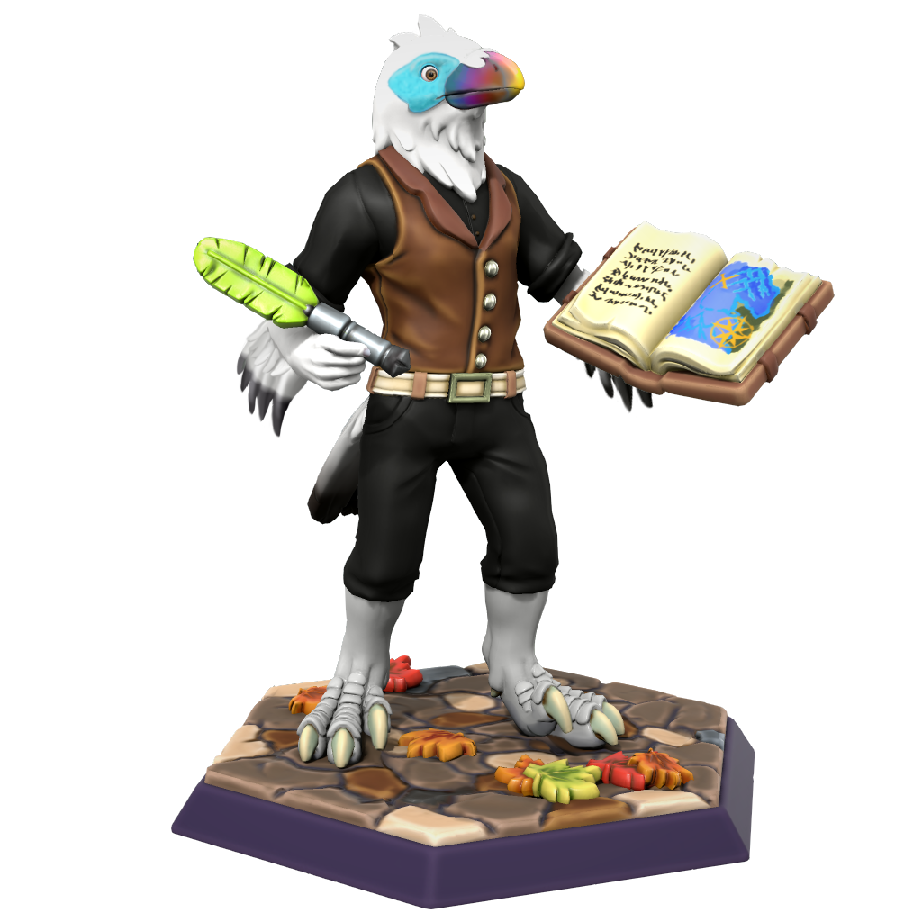 Danae by Naelin
Type
Archipelago
Included Locations
Related Tradition (Primary)
Related Plots

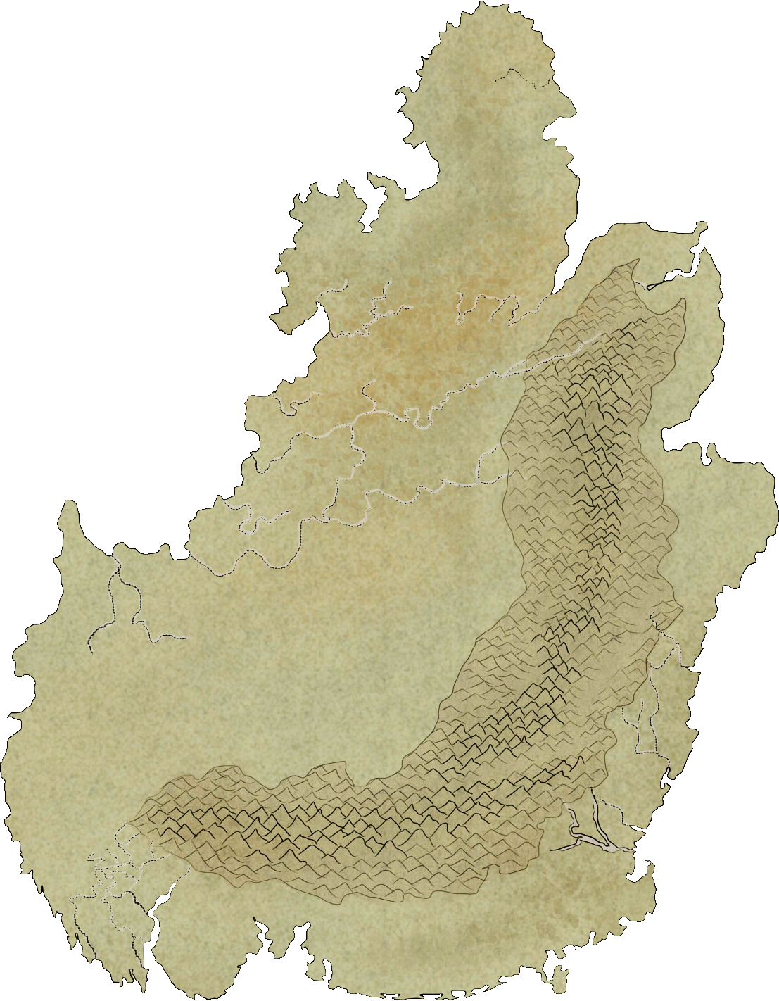




I really like that you've explored every island here (except the unknown ones, which is a cool detail). The pictures of each island are a really nice touch. :D
Thank you Emy! Making the pictures of each island turned out to be quite useful for a lot of articles!