Tercana Bluffs
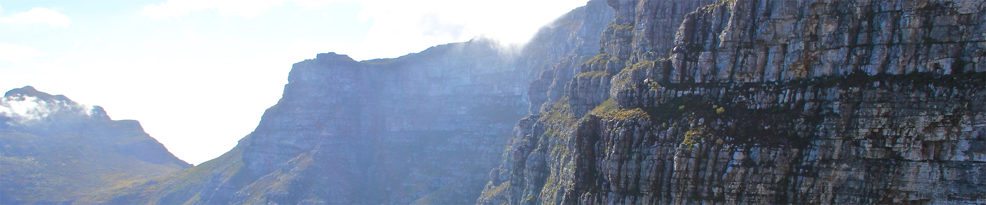
The Tercana Bluffs are comprised of a sheer cliff face that stretches from deep within the Darwood to the coast of the Western Commonlands, around 60 miles north of Saltmarsh. They are so tall and sheer that they are colloquially referred to as "The Wall".
The Great North Road cuts through the only pass in the cliff face, slowly rising until it reaches the top of the bluffs, some 1000 feet above the lands to the south.
The formation of the bluffs is not understood. Some scientific philosophers believe a river used to run at the base of the cliff, eroding the softer rock to the south. Others see evidence of some ancient cataclysm that thrust the cliff up from the ground.
The cliffs are generally not exploited due to roving bands of ogres and bandits that wander south from the Burle Hills. At one time, when the Cerulean Empire ruled these lands, the pass was well guarded, but no longer.
In recent years however an enterprising dwarven community has sprung up around the Copperlocks Mine, where word has it that silver ore has been discovered along with the iron ore of the cliffs.

Tercana Bluffs by Jacob Brady

Comments