Castar
Geography
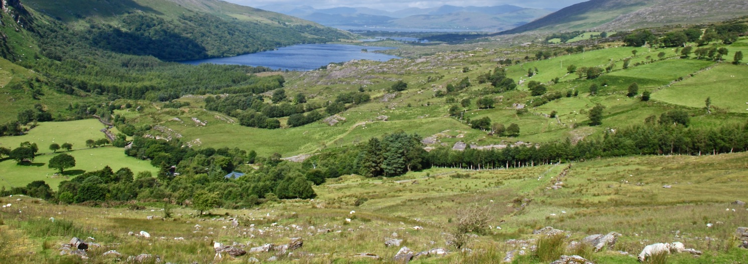
As a territory, Castar constrained on its eastern side by the mountainous border it shares with the Union of Mishtoon, and to the west by the Memaran Ocean. As a result, Castar is characterised to the east by rolling foothills descending from the Uzkesh mountains, covered in thick deciduous forests. Further to the west, the foothills and forests give way to the coastal plains where the main population centres of the Republic of Castar can be found.
To the south, the coastal plains are truncated by the encroaching savannah, and tribe lands of the so-called 'Free States', with Castar being separated only by Nemelshen's Dyke, an earthwork that was constructed by the second king of Castar before the founding of the Republic.
To the north the coastal plains are bordered by a huge swathe of long sandy beach, Eriveh Bay, with the ocean beyond harbouring many treacherous sand bars. Nevertheless, Eriveh Bay is a favourite place of safe harbour for the many trading vessels that travel along the coastline of Castar.
Type
Territory
Location under
Included Locations
Included Organizations
Owner/Ruler
Owning Organization
Related Tradition (Primary)


Comments