Lake Coco
by hughpierre
Geography
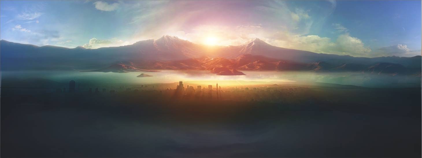
The largest body of water in the valley that gets it name from the most in-demand product that is transported across its surface. For this reason, it is often thought of as the heart of the valley; and because it lies in the center.
Unlike the other four great lakes, Lake Coco is quite salty from the salt water rivers originating from the brine marshes flowing into it. But regardless of this, the circular body is equally ringed by a series of fresh water wells which have been the beating heart of many altepetls settled along the shores.
It is also heavily developed thanks to the dikes and dams built predominately by the Sang Empire. Particularly, a distinct area of the lake, called the Mixed Lake, was created by and for Sangsalgu to maximize its fresh water use and control salt contamination as much as possible. Mixed Lake comprises one fifth of Lake Coco and is separated from the rest of the lake by the grass dike running from peninsulas Tenula to Coyoacan.
Fauna & Flora
Axayacatl: A small, lacustrine fly, with a fishy taste, collected with a net mounted on a wooden frame fastened to a long handle and pushed by a man walking through shallow water where the insects live and breed.
Waterfowl: Netting, noose-trapping, and pursuing until the birds tire and can be seized and clubbed. Canoes and stationary nets on high poles are also employed in individual and cooperative techniques. This is a primarily a winter activity, but with some exploitation year-round.
Fish: Largemouth bass, walleye, catfish, crappie, northern pike, trout are netted, speared, and hooked from canoes or platforms made of reeds or twine weirs; bone hooks on set lines. The captured fish are butchered and filleted with obsidian blades, knives, scrapers.
Natural Resources
Ahuauhtle: Insect eggs naturally deposited in great quantities throughout the year on the surfaces of aquatic vegetation. The harvested eggs are ground to a paste and then either cooked and eaten in tamale or, more commonly, mixed with other foods.
Tourism
A collection of islets connected together by chinampas and causeways into the capital of the Triple Alignment.
A long wall/embankment built to prevent flooding from the saltiest side of the great lakes.
An artificial lake made up of a network of canals, aqueducts, sewers, embankments; and even chinampas and smaller isolated reservoirs; separated from the natural Lake Coco by the Dike of Cranotuilloil.
A lonely island that serves as a common resting spot for tired canoers on the Coco route.
Type
Inland Sea
Location under
Included Locations
Owning Organization
Related Materials


Comments