Kreata
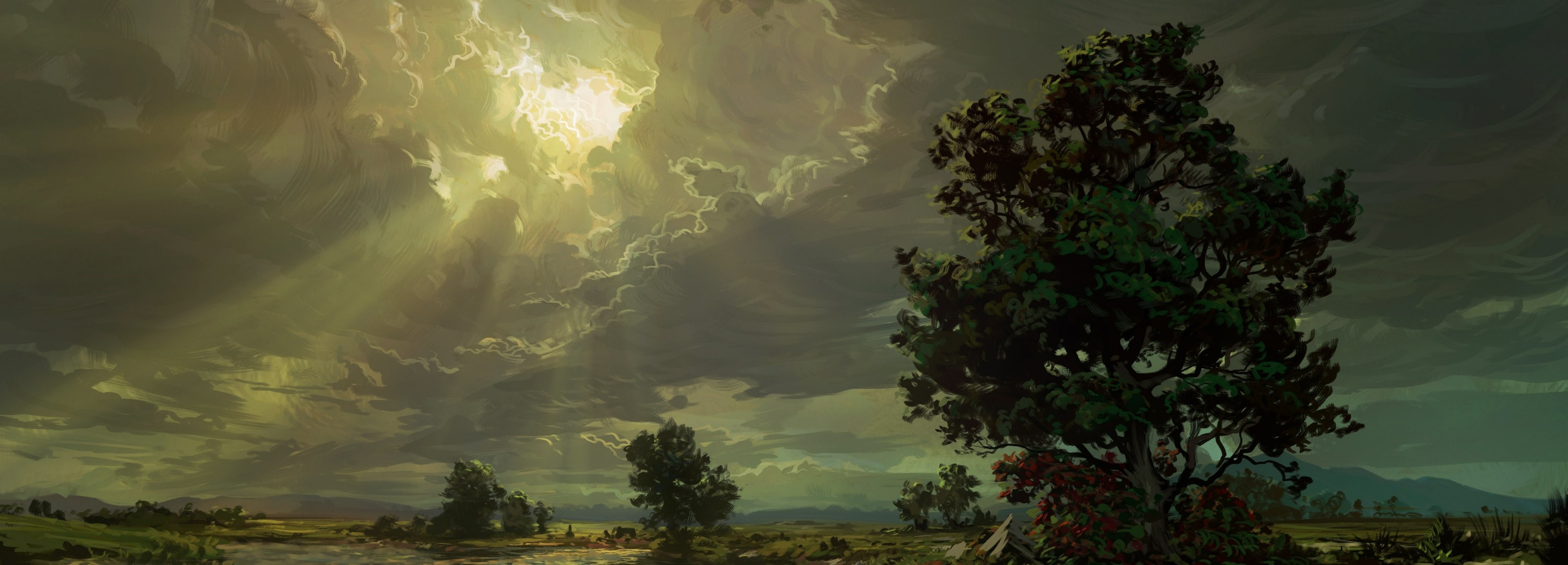
The continent of Kreata is wide, and ranges from temperate forests to grassland steppes and frozen tundra. Home to a diverse population of flora, fauna, and sentient Echinder, Kreata's history of civilization stretches back millenia.
Regional Geography
While many scholars still debate the fine details of the general region, the broad consensus has settled on rough designations for the regions of the continent. Below is a common understanding of the various biomes and natural ranges that encompas the broad swath of Kreata.Southern Lowlands
The Southern lowlands boast the largest population of any continent. Core to the lowlands is the rich and fertile Anaellas river basin. Afterward, the lowlands boast a wide range of ecological territories, including the Bloodwoad, the Barren Wastes, Eldritch Hills, and the Cimerian Plateau. Details The region of southern Kreata is demarcated as the region south of the Aspidas River and Pentasis Mountains, and ends at the western edge of the Bloodwood. Blessed by mild winters, a long growing season, and rolling hills, the Southern Lowlands Kreata has always been a fertile valley. With only the barren wastes posing the only significant obstacle of travel, life continues to thrive in this region despite the myriad of conflicts that have occurred across it.
Southern Kreata boasts a variety of ecosystems and different landscapes, allowing for the settlement and occupation of a great many different kingdoms and civilizations. Below are a few distinguishing features
Waterways
Southern Kreata contains four primary rivers: the Aspidas, the Avveaus, the Iron, and the Anaellas River. Of these, the Anaellas [A-nay-ess] is perhaps one of the longest rivers in the world, and stretches all the way from the northern plains all the way to the Sea of Kor. Renamed after the Turathi chosen goddess Anael, the Anaellas has been the lifeblood of the regions settled peoples. A wide, slow moving river, the Anaellas has served the region as a primary highway from the sea inland, and provided for the extensive irrigation of the river valley for centuries.Barren Wastes
South of the lower Anaellas lies the Barren Wastes. Despite its harsh name, the wastes are far from in hospitable. Named more for the lack of significant forests, water deposits, or pentiful fauna, the wastes have proven to be a good source of several mundane and magical resources. Composed primarily of warm scrubland, groundshrubs, burrowing mammals, and excessive rocky terrain, the wastes have primarily served as a natural barrier between the Iron valley and the rest of region. Despite its rugged and sparse terrain, a handful of small communities do manage to survive in and around the arid region.Western Archipelego
Just west of the mainland lie a several large islands within the shallow edge of the Sea of Kor. Resting among the warm trade winds, the Islands have managed to support a huge variety of differing habitats and watery ecosystems. In turn, this has drawn the interested of several settlements, and led to a very populous and prosperous region.Pentasis Mountains
The Pentasis mountains lie in the north of the region, and serve as the gateway to the rest of the continent. To the West of these mountains lies the Middle Steppe, and to the East lies the Knarl Sea. Myth says that the first ancestors of the Pargothi tribes came down from the Pentasis mountains after the Age of Ruin. Kajatopka Mountains Bordering the eastern edge of the continent, the Kajatopka mountains (roughly translated as 'Titanheart), serve as the retaining barrier that envelops the Knarl sea, and reaches down into the northeastern portions of the Southern lowlands. Consisting of many fertile valleys and rich ore deposits, the Kajatopka, or 'Toks' have served as a durable and stable region for millenia.Eastern Knarl
The Eastern Knarl is marked by temperate forests, glacial fjords and rocky shores. Centered around the Knarl Sea, of its namesake, much of the land flows into this expansive body of cool water that serves as the heart of migration and civilization in the region.Middle Steppe
The Middle Steppe consists of vast expanses of open field and sky, punctuated periodically by raging torrents or thick covets. Home to many migratory herds of animals, the Steppe is a harsh land that has resisted most of the civilizing efforts other regions have fallen to.Western Highlands
Overgrown forests covering the western hills and valleys along the Aegis mountains, the Western Highlands resist the steady pressure of modern exploitation. Flanked by the Rainless Hills, and the Sea of Tears, the region's climate seem enured to change as much as the people.Northern Flows
Desolate Tundra and Glacial Valleys form the vast expanses of the Northern Flows. A land of perpetual ice and snow, few creatures call this land home. While the land never changes, the secrets buried beneath the ice beckon explorers just as well.Geopolitical Territories
Maps
-

Khagrot Plateau
The local area around the seat of the Khyer'shoreg horde. -

Southern Kreata - Political
-

Central Kreata
The territory the Orgol Hordes, with outlying territory of Thviscan Leage and the Petty Kingdoms
Type
Continent
Included Locations
Inhabiting Species
Comments