Ynysow Syllan (ˈɪˈnɪzo ˈsɪl:an)
The Ynysow Syllan is an archipelago located to the southwest of the island of Ynys, and is the southernmost point in the Ynys Archipelago. There are over one hundred small islands in this group, but only six of which are inhabited. Of these, only Frenhines is of any substantial size, and was the center of the former Kingdom of Lewyon before its conquest by Dumnonia.
Geography
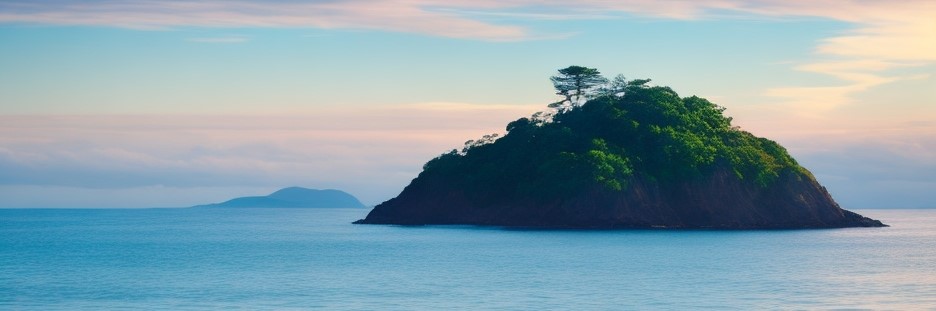
The archipelago is mostly a collection of tiny, uninhabited islets surrounding the much larger island of Frenhines. Other than the large island, only five of the other islands have any resident population. The islands are closely spaced, and in particularly low tides many of them can be reached by causeways that emerge from the sea. In some places, this has been augmented, allowing the causeways to be used in all tides. The islands are known for having particularly jagged coastlines, with numerous inlets, bays, and fjords.
The Inhabited Islands of the Ynysow Syllan (Sorted by Size)
| Island Name | Area (sq mi) |
|---|---|
| Frenhines | 240 |
| Peninnis | 6.58 |
| Skaw | 2.97 |
| Brechiek | 2.37 |
| Gugh | 1.48 |
| Bray | 1.34 |
Ecosystem
Ynysow Syllan is known for its fruitful soil and rich seas. Flowers are particularly associated with the archipelago, and many herbalists in Ynys will pay handsomely for pressed and dried flowers that grow in these islands. Many animals also live in the archipelago, including an extraordinary array of moths and butterflies. Seabirds, deer, bears, and seals are also found living here.
Climate
Ynysow Syllan has the warmest climate in the Ynys archipelago, and the island of Frenhines is particularly clement. Rain is common, especially in the winter. The islands are occasionally hit with severe storms out of the west, but these are fairly rare.
Natural Resources
The islands are best known for their wide array of herbs and flowers which are considered medicinal, and this makes up the most lucrative component of their exports. They are also a source of timber and agricultural products, having a longer growing season than the rest of the archipelago. These days, most of their surplus food is sold directly to the Dumnonian military.
Maps
-

Ynysow Syllan
Type
Archipelago
Location under
Included Locations
Included Organizations
Owning Organization
Related Ethnicities
Geographic Details
Location: Northeastern RegionLatitude: 46.74 degrees North
Longitude: 61.91 degrees East
Average Elevation: 173 ft
Highest Point: 2,523 ft (Bronn Ewhella)
Lowest Point: -3 ft
Area: 282.02 sq mi
This article is a stub, and will eventually be updated with more complete information. Let me know in the comments if you would like me to prioritize it!
This article was originally written for Spooktober 2024. You can find all of my Spooktober Articles at Spooktober Central.
This article was originally written for Spooktober 2023. You can find all of my Spooktober Articles at Spooktober Central.
Comments