Nuaira (NEW-eye-RAH)
Nuaira is a geographic region in the northeast corner of Omath, characterized by heavy forests, Lake Virdover, and a deep connection to the magical power coursing through the world of Solia.
Nuaira is home to the eponymous Nation of Nuaira and the Nuairan people, descendants of the first civilization in Solia.
Geography
Nuaira is a heavily-forested nation and most of the country sits well above sea level, ranging from 750 - 2000 feet in the west and north to 300 - 500 feet in the south and east.
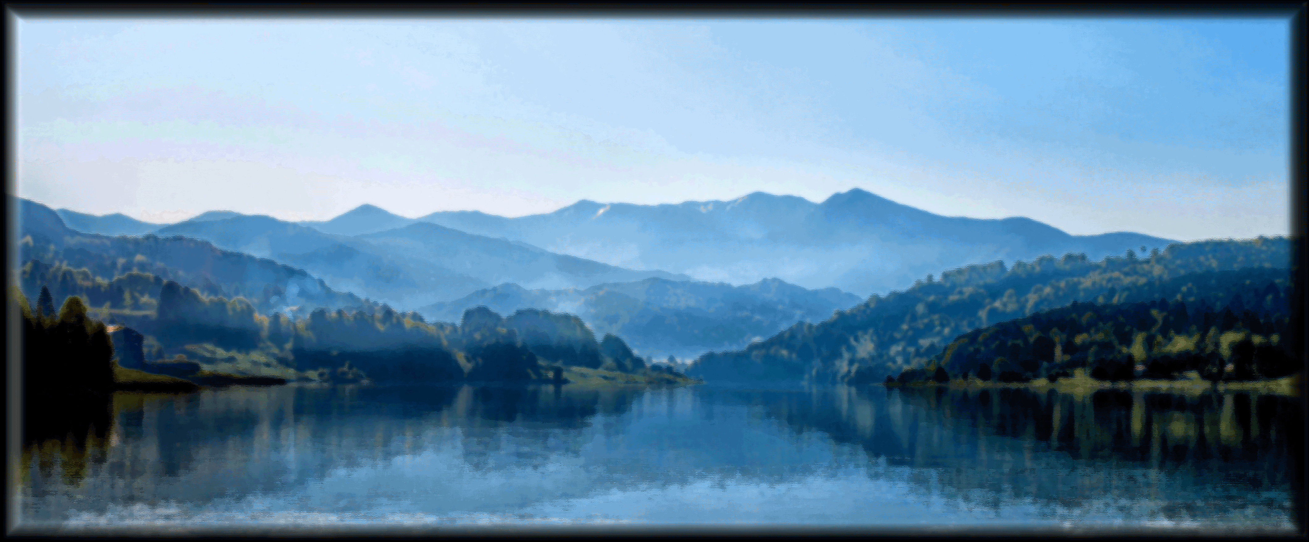
Nuaira has a large, inland lake at its heart, known as Lake Virdover , surrounded by plains and rolling hills that give way to a large forest (known as the Nuairan Forest). In the west the region rises to the Dunmaer Plateau, while a series of sharp mountains (the Feylin Mountains) rise to the north.
Natural Resources
Feylin, softwood and hardwood, granite, limestone, slate, zinc, bauxite, and iron.
Maps

Alternative Name(s)
The Forest of Life
Type
Region
Location under
Included Locations
Included Organizations
Owning Organization
Related Ethnicities


Comments