Gefroren Valley
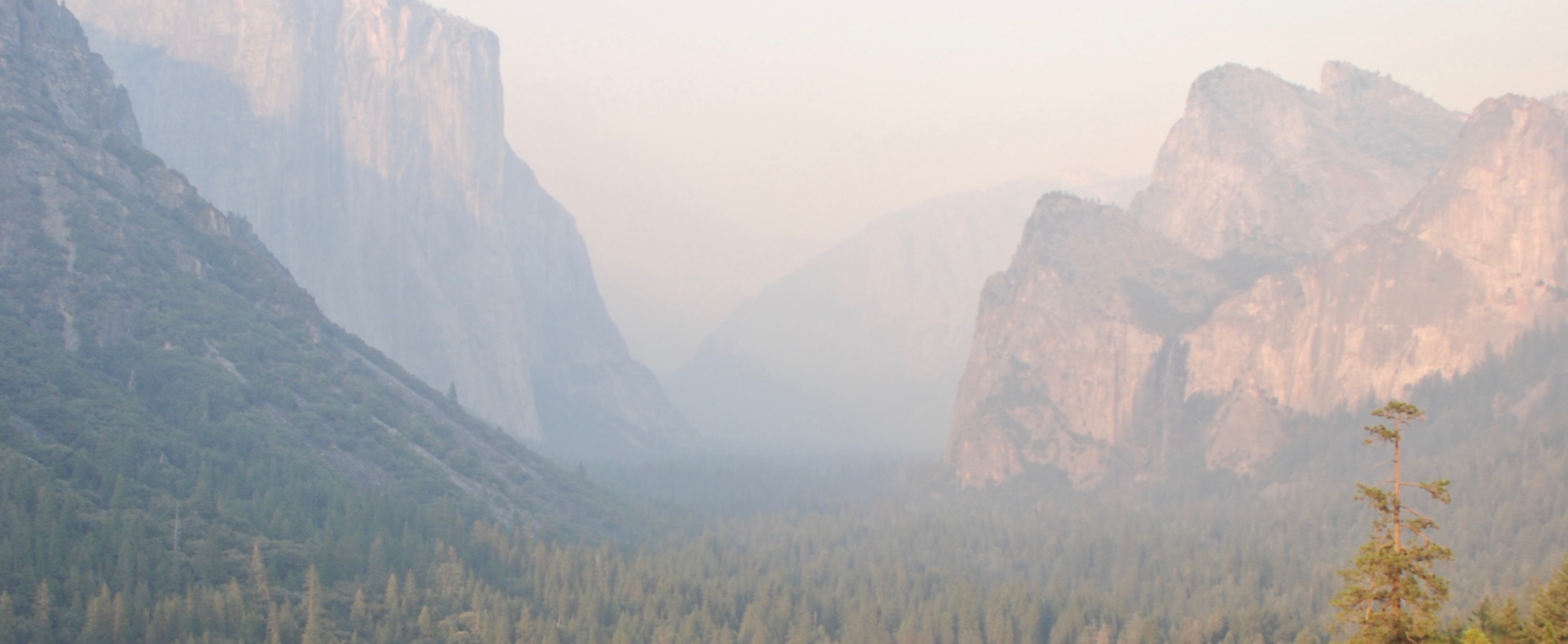
Rising sharply from the foothills, cutting deep into the heart of the southern peaks of the Felsspitze Mountains, the Gefroren Valley is the only known way to reach the Eisig Plateau from the lower lying areas below. The valley is widely known to be incredibly treacherous and only the bravest, or most foolhardy of explorers and adventurers attempt an ascent to the top of the valley and the Plateau beyond. Those that traverse the Gefroren Valley will doubtless pass by the frozen bodies of those that have attempted the climb before them, and will spot the corpses of those who lost their footing and fell, nestled on ledges and shelves of rock and ice all the way up the course of the Valley.
Geography
The Gefroren Valley is by no means the longest or largest valley that cuts though the Felsspitze Mountains, but it is one of the largest valleys in the south of the mountain range. In terms of its dimensions, the Gefroren Valley is around 15 miles in length, and is on average between 0.5-1mile wide throughout its length. It is also incredibly steep, so steep in fact that it would be a struggle to ascend it even without the almost permanent covering of ice and snow. The treacherous layer of ice that lines the valley, often metres thick in places, along with the coverings of snow that frequently blanket it, much of the valley requires the use of climbing equipment and a good knowledge of mountaineering in order to successfully navigate it. Because of its compact width and the regular coverings of snow that not only roll off the Eisig Plateau, but also from the flanking Felsspitze Mountains, the valley is very prone to avalanches, which have been known to build up so much speed and ferocity, that they can dump snow over a mile from the mouth of the valley onto the lower lying Dukedom of Zottehal below.
Type
Mountain Pass
Location under
Contested By


Comments