Lochish
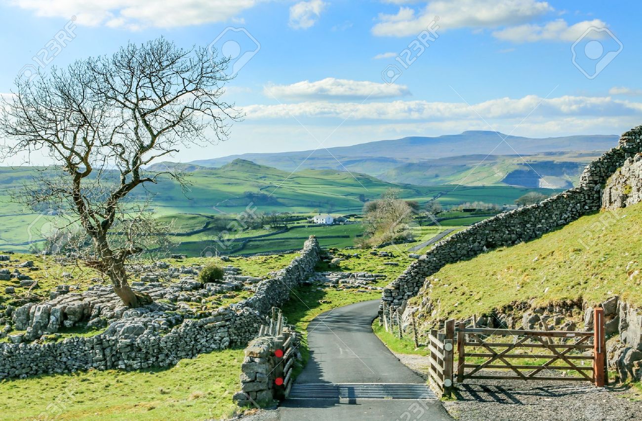
The Causeway flattened out to a vast and open plain. Far in the southern hazy distance spires of Merithilg rose. The lake known as the Suud, stagnant and murky, lay some fifty miles east. Way further south the tall towers and spires of the capital, Mìrdrinda which sits in a large flat basin, ruled by charioteers. The further south are the moors and then Brin Balo, dwarf's home. West is Gleymor, the mountains sister to the flat Lochney. Gleymor's uneven geography require the difficult roads throughout the region. Still some dales and easier footing can be found, and the rivers flowing from the briny lochs offers respite for travel-rough feet in its cool waters. The far western Wolboro Range shield Lochish from the dangerous Unclaimed Lands.
Wet Hills: mineral-rich slopes by the lochs that dot Gleymor.
Lochney
Flat plains for seemingly endless miles in the center then rustle into moorlands and hills. The capital, Mìrdrinda is here, at the heart of the plains.Gleymor
The mountainous west. The capital is Morhyll. Lyer's Pass by the city of Lyer is a heavily trafficked merchant route with Arcorvatavá. Highest peak is Halvenia at 19,556 ft. in the Corman Mountains.Sub-region(s)
Wet Hills: mineral-rich slopes by the lochs that dot Gleymor.
Alternative Name(s)
Land of the Half-elf
Included Locations
Included Organizations
Related Tradition (Primary)


Comments