Aderian Survey Corps
The Aderian Survey Corps (abbreviated as ASC), colloquially and formerly known in Lake Kadia as the Cartographers Guild, is a service branch of the Kadian Military in charge of mapping the area of the Kadian Dominion and its surroundings. The organization is the only licensed cartography service present in the lake's area, a monopoly that is heavily maintained by the Kingdom of Ader for the myriad of strategic advantages it provides.
Structure
The organization is overseen by the Chief Cartographer who manages the day to day operation of the organization, and reports directly to the Sovereign of Ader.
The ASC operates in every major city in the area of Lake Kadia, and in almost every town, with each having a designated Cartographer, ASC responsible for the mapping the area as well as evaluating land prices and tax rates.
Public Agenda
The Aderian Survey Corps is openly and regularly hiring adventurers and mercenaries to help with cartography and mapping efforts. The ASC also has a reputation of providing lucrative contracts even for trivial tasks, as they operate under the assumption that well payed freelancers often bring the best results. Despite this perceived openness to outsiders, actually receiving a contract is no easy feat, as the executing party often has to be up to specific and very demanding codes and standards.
Most of the peasantry know their closest Cartographer, as they are the people directly in charge of their officially recorded land value. Those decision directly affect taxes of local denizens and often leads to tensions.
Another aspect that falls under the responsibility of the organization is the recording and mapping of strategic resources around Lake Kadia, including rare metals and areas proven favored for agriculture. The organization also owns the largest, and oldest map catalogue in the area, and it shares relevant information with partners who are willing to consolidate their cartographic efforts to the ASC.
Some independent map makers and self proclaimed cartographers often voice concern over the state protected monopoly held by the organization, as well as its deep ties with the Kadian Intelligence Services.
History
The First Guild
The ASC began as the 'Ammand Cartographers Guild' in 351 under order Emperor Septius Ader who wanted his armies to have a better understanding of the empire civilized and geographical layout. The guild operations during that time is largely unknown as after the battle of the Second Sun an earthquake hit the guild's hall and destroyed it completely. A fire broke out in the guild's vault during that time, destroying almost all the maps created by the guild over a time period of almost 300 years. Limited efforts took place to restore the damage, but with most of the leadership dead and the continent thrown into the Days of Reckoning the guild was disbanded in 632.The Second Guild
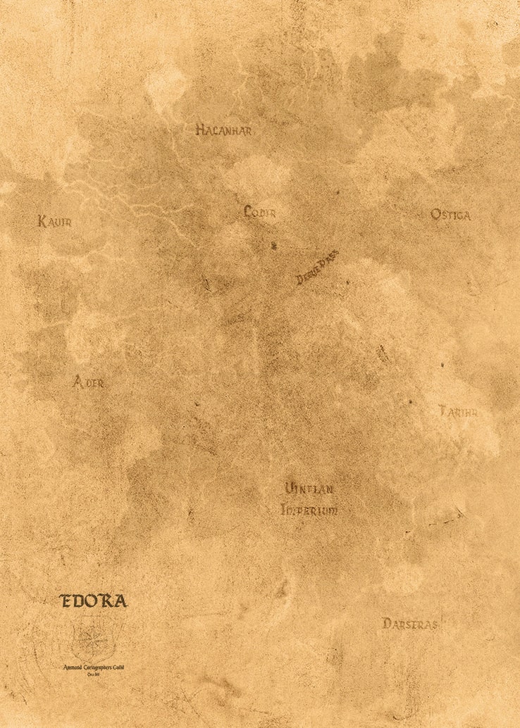
In 1181, a map of Edora dated to 598 was found by Samuel Brings, when he prepared the foundations in a piece of land he bought in Ammand. Brings brought the map to emperor Rederic Amarell and the later, already known to be fascinated with tales of the past and exotic lands, was immediately captivated by the idea of mapping his realm. The emperor has ordered the reopening of the guild and appointed Brings as the first Chief Cartographer. The guild was incorporated into the Aderian Military and it name was changed to the 'Aderian Survey Corps'.
Current Date: 2nd of Latsum, 1572

From ground to the sky, ocean to mountain.
Founding Date
351
Type
Guild, Professional
Leader
Leader Title
Parent Organization
Location
Related Ranks & Titles
Notable Members


Comments