Idraren Draren
Idraren Draren is a large, imposing mountain range which separates the Shamsi Desert from both Sesli Plato and the Keyh Sea, making up the bulk of Marrakesh and Libu. Containing several subranges, Idraren spans 1,600 mi (2,500 km) of the northeastern edges of Alkelbulan and its highest peak, Tubqal, reaches 13,671 ft (4,167 m) high! Yet these mountains are most infamous for the intense ionizing radiation seeping out from the earth itself, home only to the Imaziɣen nomads capable of surviving this influence thanks to their Racial Magic. Unknown to outsiders, radionuclides (radioactive materials) lay deep within these mountains and, if the legends are to be believed, they hide permanat portals into Rithaldis' Plane.
The name of these mountains actually comes from the Imazighen language, Tamaziɣt, Idraren Draren meaning "Mountain of Mountains". Compared to other regions of northern Alkelbulan, Idraren is surprisingly mild with cool weather and sunny summers averaging around 77 F (25 C). They are also rich in mineral resources including lead, iron, copper, silver, mercury, salt, phosphate, marble and coal, many Imazighen making their living by mining these materials to trade for food in agricultural villages. Imazighen warriors have even been known to make weapons from radionulide minerals found within these mountains. Idraren Draren can otherwise be divided up into two sets of subranges, those contained wholly in Marrakesh and those reaching into Libu. In Marrakesh, three subranges include Mzziyn, Adrar n Dern and Anammas while mountain ranges in Libu include the al-Tli, Awrus and Ksour ranges.
Thanks to higher rainfall and cooler temperatures, and despite the radiation, Idraren Draren is host to far more vegetation than the rest of Shamsi—especially those that can consume radiant energy. Mixed forests of cedar, oak and ash grow in those areas where the radiation is light or absent while endemic variations of cedar and oak have inherited radiant Racial Magic, living only in these mountains! Similarly endemic animals are found in Idraren Draren including macaques, deer, leopards, badgers, boars, fox, ibis, nuthatch and vipers living alongside more widespread Shamsi species like the Azru Aoudad, Raqs Gazelle and Manid Hyena. Bears, lions, elephants, aurochs, hartebeests and wild ass have even been spotted or quoted in Imazighen legends.
Mzziyn
Mzziyn extends 300 mi (480 km) from the southern border of Sesli Plato, stretching northwest and nearly reaching the western border of Marrakesh. While the southern border of Mzziyn reaches the Shamsi Desert in earnest, separated by a strip of highlands 2,297 ft (700 m) high, its northern border is flanked by Adrar n Dern. Summits of Mzziyn average with heights of 8,200-8,900 ft (2,500-2,700 m) while a plateau sits along its northern border, 5577-5906 ft (1,700-1,800 m) high. Like much of Idraren Draren, Mzziyn is inhabited primarily by Imaziɣen tribes. There are no large cities in Mzziyn, only the Imzighen town of Tfrawt in a fertile valley. Mzziyn's largest peak is Djebel Sirwa, a massif volcano which reaches 10,840 ft (3,304 m).
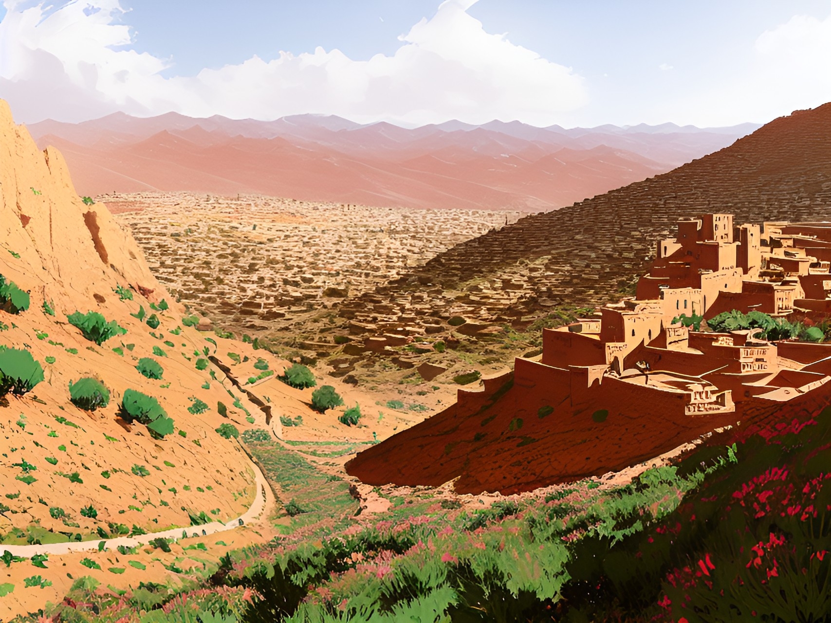
Mzziyn receives around 200 mm of rainfall in a year, its northeastern slopes far more suitable for agriculture. Otherwise, its climate remains similar to the rest of Shamsi thanks to Adrar n Dern blocking northern winds. Drought resistant herbs such as Lux Thyme are common to these mountains alongside small shrubs. The shift from the southern peaks into desert is gradual, supporting many desert species. Kasbah (fortified cities) dot the slopes of Mzziyn, not continuously inhabited but fallen back to in times of invasion and as place to store food shared between kinsmen. Occasionally, these kasbah serve as stops for nomadic pastorialists and travelling merchants with perhaps a single functioning inn and small, terraced fields. Nomads know these cities well, trading with these sparse residents with ample generosity.
Mzziyn receives around 200 mm of rainfall in a year, its northeastern slopes far more suitable for agriculture. Otherwise, its climate remains similar to the rest of Shamsi thanks to Adrar n Dern blocking northern winds. Drought resistant herbs such as Lux Thyme are common to these mountains alongside small shrubs. The shift from the southern peaks into desert is gradual, supporting many desert species. Kasbah (fortified cities) dot the slopes of Mzziyn, not continuously inhabited but fallen back to in times of invasion and as place to store food shared between kinsmen. Occasionally, these kasbah serve as stops for nomadic pastorialists and travelling merchants with perhaps a single functioning inn and small, terraced fields. Nomads know these cities well, trading with these sparse residents with ample generosity.
Adrar n Dern
Adrar n Dern is located centrally in Marrakesh, this range the tallest of Idraren Draren. Its imposing peaks stretch all the way to the western border of Marrakesh, dropping off dramatically adjacent to Sesli Plato and along it southeastern borders before transitioning to coast near Mmziyn. Meanwhile, it transitions far more mildly along its northern borders. The peaks of Adrar n Dern regularly reach over 13,000 ft (4,000 m), its tallest peak Tubqal reaching 13,671 ft (4,167 m). Tubqual is so tall, it remains visible even from the capital of Marrakesh, Anfa. The eastern slopes which face Sesli Plato have a temperate climate. They are actually very humid, recieving ordinary precipitation and even taking the brunt of thunderstorms which migrate off of Skaney. However, its high peaks act as an atmospheric barrier, shielding Marrakesh and Shamsi as a whole from both arctic winds from Keyh Sea and rains from Skaney.
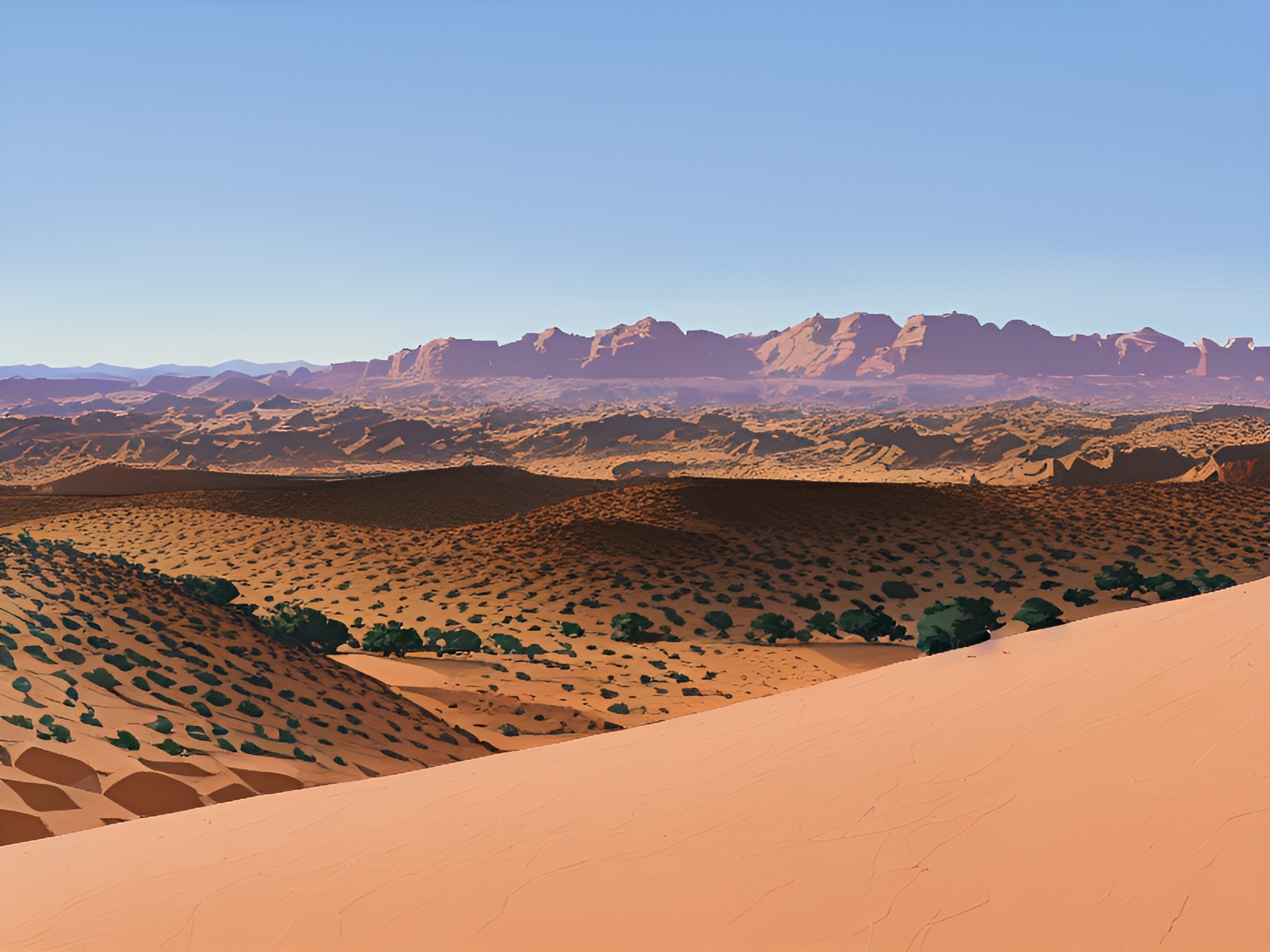
Opposite to its temperate slopes, drought is severe especially in the summer, few storms making it across. Contrastingly, in the winter snow falls continuously over it peaks, feeding multiple rivers as it eventually thaws. Most of these rivers are permanant, sustaining unique forest biomes, flowing north toward many settlments. There are also wadis in Shamsi which flood seasonally thanks to Adrar n Dern's snow. The climate of the southern regions is far more arid and rolls out into steppes before giving way to hamadas (flat, rocky desert), temperatures varying widely with little to no trees.
Opposite to its temperate slopes, drought is severe especially in the summer, few storms making it across. Contrastingly, in the winter snow falls continuously over it peaks, feeding multiple rivers as it eventually thaws. Most of these rivers are permanant, sustaining unique forest biomes, flowing north toward many settlments. There are also wadis in Shamsi which flood seasonally thanks to Adrar n Dern's snow. The climate of the southern regions is far more arid and rolls out into steppes before giving way to hamadas (flat, rocky desert), temperatures varying widely with little to no trees.
Settlments in Adrar n Dern are almost exclusively Imazighen in these irradiated mountains, radiant energy as foreigners call it seeming to pour out from the earth itself—an invisible killer. Those Imazighen clans with elemental protection live traditionally as pastorial nomads and agriculturalists in these irradiated pockets safe from invasion. Even in areas of the steppes where rain is infrequent, local clans have developped techniques for irrigating fields with minimal rain and weak soil. They call these artificially fertile valleys agdal, meaning garden. Outsiders remain flabberghasted by their self-sufficiency, unsure of how they manage this feat in such inhospitable lands, but it has been their ability to retreat into these mountains or deep desert which has allowed the Imazighen to endure every invasion. Known cities within Draren n Dern include ksour like Ait Benhaddou and the kisbah Ighrm n Tlghat. While Ighrm n Tlghat is located along the road to Anfa, Ait Benhaddou is a merchant town and welcome stop to those attempting to cross the desert.
Anammas
Anammas is the northernmost of these three subranges, separated from Adrar n Dern by two rivers, iɣzer n Melwect and Asif n Isafen. There is only one mountain range further north of Anammas, the Arrif Mountains, which are a separate range altogether from Idraren Draren. Arrif was originally a part of Sesli Plato, separated from Anammas by the river Asif n Sbu. Coastal plains sprawl out from the eastern borders of Anammas while the west is home to a high, barren platueu. This plateau is a barrier between Anammas, al-Tli and Ksour. Perhaps what is most characteristic and vital to Anammas is its tendency to receive more rain than any of the southern ranges, an important water source for its rivers. Many settlements can be found throughtout Anammas thanks to this moisture, the bulk of Marrakesh's agriculture occuring here. Its valleys are also the only known safe pathways between Sesli Plato, Anfa and the Shamsi Desert.
Ksour
Ksour makes up the southern borders of Libu, west of Adrar n Dern, and is the last barrier between the coast and the desert. These mountains run in a line from the border of Marrakesh and Libu, through Dzayir and into Tinis before its westernmost point merges with the Awrus subrange. Ksour's peaks aren't as high as Adrar n Dern but they're still more impressive than those of al-Tli which runs parallel and north of Ksour, separated by coastal plains. Ksour's largest peak lies along its southern border, Djebel Aissa. The Ksour range sees some rainfall, somewhat more suitable for agriculture compared to the plains markings its northern border. Among all of the rivers of Idraren Draren, Ksour feeds the most desert wadis, dry riverbeds which flood seasonally. Those who have been expelled or exiled from the coast usually flee to these mountains.
al-Tli
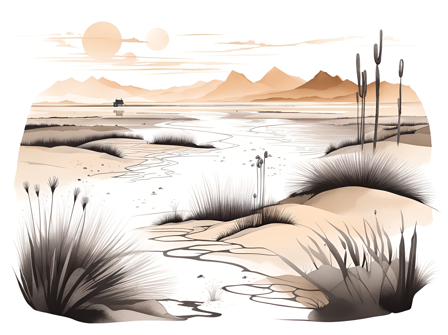
al-Tli runs for 932 mi (1,500 km) in total, stretching from northwestern Marrakesh all the way into Tinis in Libu. These mountains run along the coast of the Keyh Sea before merging with the Ksour subrange, its highest summit reaching 7,572 ft (2,308 m). al-Tli's eastern border also merges with Anammos in Marrakesh while its southern border morphs into plains and a high plateau, home to lakes in the rainy season which become chotts (salt flats) and salt marshes the rest of the year. Western al-Tli is extremely humid, receiving up to 39 in (1,000 mm) of rain and snow! While not nearly as high as Adrar n Dern, it too forms a barrier which blocks the frigid winds of the Keyh Sea from reaching the desert. Some of the largest and most influential cities of Libu can be found in these mountains, either on or near the coast, including Wahran, al-Jaza'ir and Kirthan.
Awrus
The Awrus subrange is the westernmost, covering the southern edges of Libu and stretching up into central Tinis. It's highest peak is 7,638 ft (2,328 m). A prolongation of the Awrus subrange merges together with both al-Tli and Ksour at its northeastern edge, connecting it to the rest of Idraren Draren. Awrus has always served as refuge for the Imazighen attempting to make their home along the fertile coasts of Libu, its radioactive peaks too dangerous for their invaders to pursue them. Its slopes are still strewn with their ksar and kasbah, fortified cities. The terrain of Awrus is rugged and craggy, poorly developed outside of these fortresses. The Isawiyen Imaziɣen in particular have made their home in these mountains as semi-nomads. Seasonally, they grow sorghum, grains and vegetables within stone terraces, falling back on the migration of their cattle the rest of the year, especially in winter.


Comments