Faubourg de Richebourg
Industry & Trade
Shipbuilding and repair takes place along the busy riverfront and along the canal, where a series of drydocks and locks allow for ample control of the waterfront.
The District controls access to the Prairie of Mauves, providing grazing for animals owned by those within the city without access to rural farmland . These grazing lands are instrumental in the production of dairy, wool and meat, bringing in a sizable income for the District.
Almost all of Naoned's sugar/honey refineries are located in this district, and Peniche frequently make stops along the Canal Felix as a result.
Infrastructure
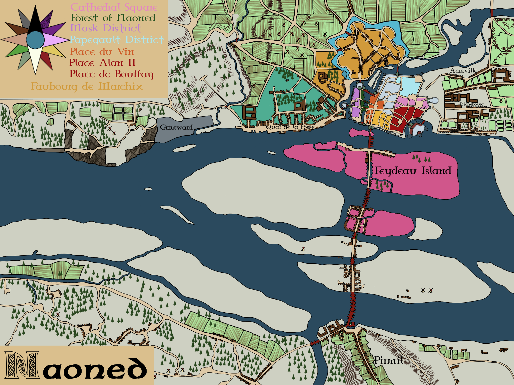
A road leads directly from the city's Eastern Gate to the three parallel streets that define the District. One street, parallel to the Liger, supports a line of quais and drydocks, while the other two are heavily built up with two and three story houses. Richebourg is the most heavily developed and densely populated of the extra-muros districts.
Across the Felix Canal is the Prairie of Mauves, the largest grazing area near the city, a large expanse of open land that falls under the district's contol.
History
The original castle of Alan "Al Louarn" II was built in what is now Richebourg, a motte-and-bailey wooden fortress that has since been destroyed. Richebourg's role in the early history of the city following the Fomorian interregnum has allowed it to establish itself as a powerful force in the city's culture and economy, despite being located outside the city walls.
Geography
Richebourg is located on the North (Black) Bank of the Liger River, along a straight street leading from the moat of the Dug's Castle in the West to Canal Felix in the East. It is located directly south of Ancreville
Type
District
Location under
Owner/Ruler
Owning Organization


Comments