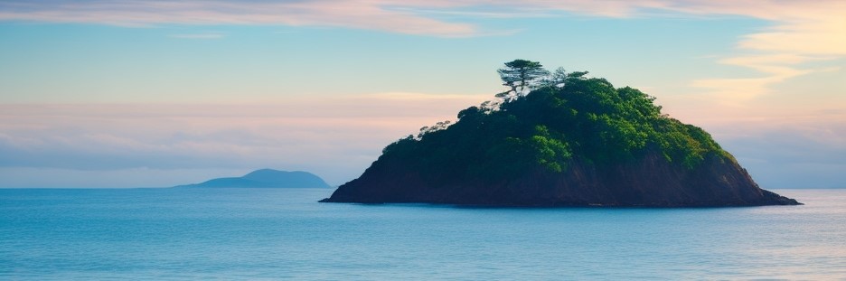
Humalik Islands
Type
Archipelago
Location under
Included Locations
Owning Organization
Related Ethnicities
Inhabiting Species
Geographic Details
Location: Southwestern RegionLatitude: 14.51 degrees North
Longitude: 28.08 degrees West
Average Elevation: 112 ft
Highest Point: 436 ft (Bundok Balani)
Lowest Point: -3 ft (Lawa ng Kaliwang Kulo)
Area: 337.84 sq mi
This article is a stub, and will eventually be updated with more complete information. Let me know in the comments if you would like me to prioritize it!
This article was originally written for Spooktober 2024. You can find all of my Spooktober Articles at Spooktober Central.
This article was originally written for Spooktober 2023. You can find all of my Spooktober Articles at Spooktober Central.
Comments