Sanka
by hughpierre
Geography
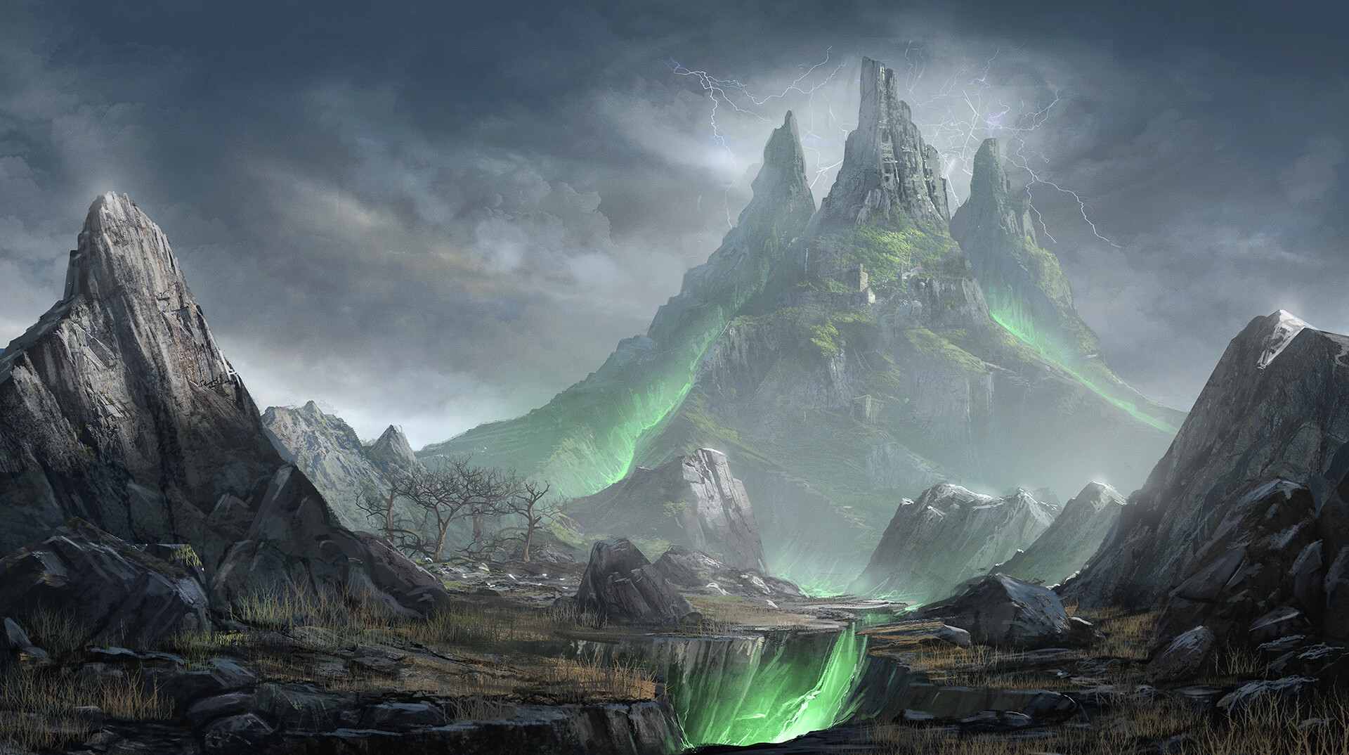
Sanka is the crater where Tawantinsuyu's capital is protected. It specifically refers to the rim edge of an asymmetric impact crater- 83,000 feet deep and 600,000 feet wide. It extends above the height of the local surface that is the uppermost tip of this raised portion. The crater floor is smooth and radar-dark, giving it the appearance of a dark halo that subdues the roughness of the steep inner crater walls.
Climate
Dry Climate
A pocket of hot air is naturally contained within the crater. Year-round aridity preserves the crater's delicate features, as moisture has little chance to erode the rock into soil. Most precipitation comes in through winter snows as slightly warmed rain. It does not rain often in the crater, but the wettening helps sustain the shrubs and small animals loose between the bone river and the crater walls.The crater air is the bane of birds everywhere.
Fauna & Flora
Lizards: Escaped reptiles, intended as food, hide in the soil and under rocks.
Sagebrush: Drought-tolerant shrubs and grasses dominate those shady places around the crater.
Natural Resources
Ores: Deposits of yellow gold, white gold, nickel, iron and quartz.
Tourism
Bridges
Oasis Bridge
The longest rope bridge that crosses the sacred valley.Sacred Bridge
Technically two bridges that connect Sacsahuaman and HuanacauriCusp-Crater Bridge
The second longest bridge that spans the gulf between Cusp and the crater wall.
Alternative Name(s)
Type
Crater / Crater Lake / Caldera
Included Locations
Ruling/Owning Rank
Owning Organization
Related Traditions
Inhabiting Species

Comments