The Dawnlands
The hills and valleys that stretch from the eastern slopes of The Sunset Spine to the coastline of The Frog Bog, is seldom referred to in specifics. It's 'the area around Daring Heights' to many, or 'the hills.' However they refer to it though, all agree on roughly what it entails. Bounded on the west by the mountains, to the north and south by the Angelbark Woods and the Feythorn Forest respectively, and to the east by the swamp, this area is known on official Daring Heights maps as The Dawnlands.
Named by someone with an eye for marketing, the Dawnlands are touted as the region that newcomers from Faerun will arrive in and start their new life. It encompasses all of Daring Heights and its surrounding farms, the small hamlets and thorps that dot the landscape around it now. There's some discrepancy between maps as to whether the Frog Bog (and therefore Port Ffirst) is contained within the Dawnlands or if it is a separate area - naturally Daring maps include the port, while maps from Port Ffirst tend to label them separately.
Nevertheless, the general topography of the Dawnlands is constant rolling hills, with small streams and brooks running through the valleys between them as water flows from the Sunset Spine to the sea.
Maps
-

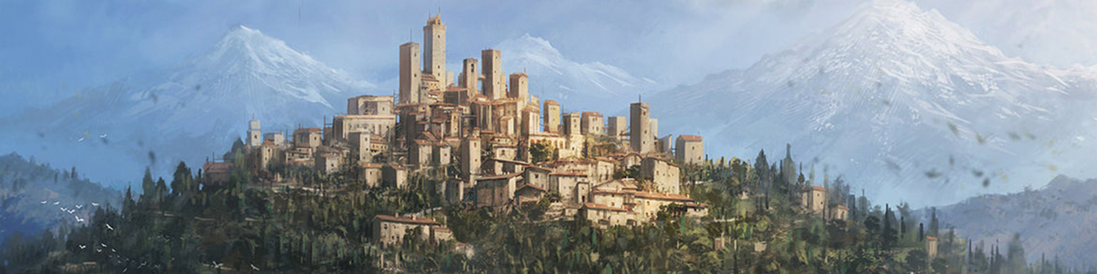
The Dawnlands
The area surrounding Daring Heights, stretching from the Sunset Spine to Port Ffirst and from the Angelbark to the Feythorn. Made via Inkarnate by the incomparable Lykksie.
Included Locations
Related Reports (Secondary)

Comments