North Ternguiré
From the frozen Arctic to the lush jungles of the United Nahua Republic, North Tairngiré has it all. It is the northern part of the so-called New World - originally known as Tír Tairngire by early Irish explorers.
North Ternguiré was first discovered over 15,000 years ago, when settlers arrived in the Arctic from East Asia. Over the next millennia, they spread across the continent to create a diverse land with hundreds of cultures and societies. For thousands of years, civilizations grew, flourished, collapsed, and grew again across this expansive land.
The most significant change to come to North Ternguiré was the arrival of explorers from Europe in 1492. European exploration of the land began in the north east, with ships landing along the cold, wooded coastline. Initially, European presence was limited to trading outposts and fur trappers. In 1521, a French expedition landed much farther south and attempted to overthrow the Triple Alliance. Although this conquest failed, it marked the beginning of much more intrusive contact from Europe.
Over the next 200 years, European presence in North Ternguiré steadily increased. Settlements were established on the coast, and European governments increasingly pushed for influence on indigenous states. Small colonies were established along the eastern coast, notable Novum Hibernia in the north, where the entire peninsula came under direct command of the Arbitrium Church.
The native peoples of North Ternguiré had not had the same concept of sovereignty as the Europeans, but they were forced to adapt to keep up with the new foreign politics. What had once been loose alliances were transformed into confederacy-style nation states, such as the Haudenosaunee's Five Nations or the United Nahua Republic in what was once the Triple Alliance. While both of these examples remained independent and resisted foreign influence, others became puppet states controlled by Europeans.
Geography
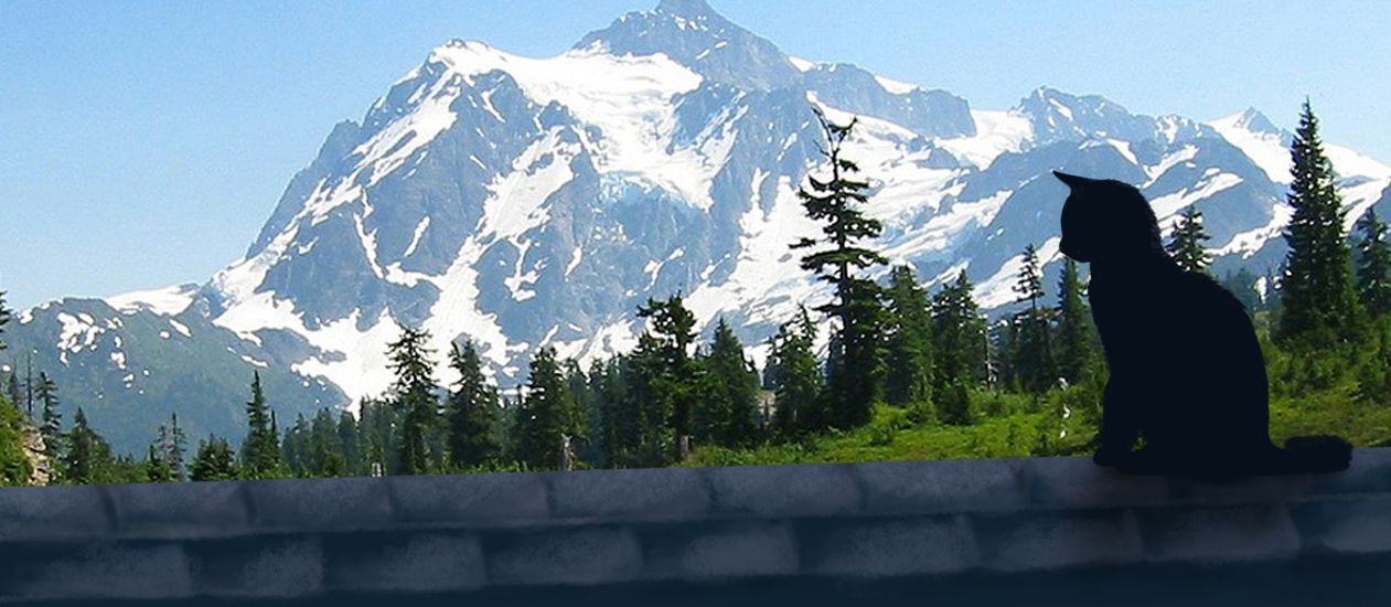
The continent contains many geographic features. In the north, it features an arctic landscape with small islands encased in ice. Moving south, a vast boreal forest covers much of the continent.
In the northwest, mountains form a temperate rainforest. The southwest is mostly desert, which eventually moves farther south into Mexican territory to become lush jungle. The southeast is dominated by hot, humid weather, swamps, and fertile growing land. The northeast is colder and covered in woodland. The centre of the continent is covered in a sprawling prairie.
Natural Resources
North Ternguiré has many natural resources that made it appealing to European explorers. One of the most widespread is timber, as the continent is covered in untouched forests. It is also home to many animals with profitable pelts, such as beavers and ermines.
The most profitable resource, though, is in its minerals. Gemstones of all varieties can be found across the continent, such as aquamarines, emeralds, and quartz. All of these are taken back to Europe to became pathstones.
Etymology
The New World's original name, Tír Tairngire, was given to it by the first explorers, the Irish. The name means "Prophesied Land", because the Arbitrium Church and the High King of Ireland funded Columbus' expedition after a diviner foretold the discover of a new land. In Ireland, the land is still referred to as such. However, subsequent exploration was largely dominated by the French. The French mangling of the Irish term is what spread to other European countries and became the dominant name for the land
Alternative Name(s)
Turtle Island (by Indigenous peoples)
Type
Subcontinent
Included Organizations
