Freecities Settlements and Locations
in FreecitiesWorld Codex
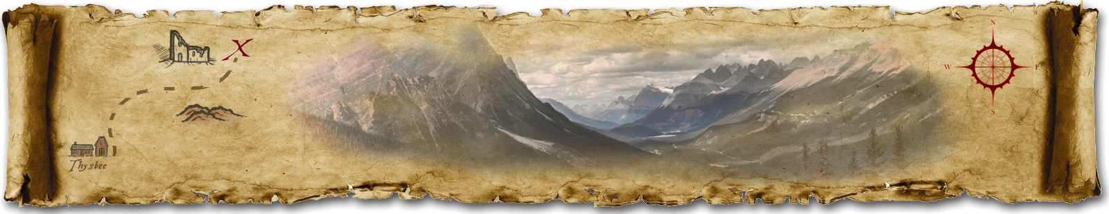
Maps
-

Whippetal Ranch at Night
Jesse Devonshire in tawny owl form did a fly-over at night of Whippetal Ranch, the ranch south of Oatman Canyon. The SNAFU Posse makes their plans based on what Jesse reports back:Jesse Devonshire:- By default, no Layers are visible when the map first loads. You can turn on and off some or all Layers of symbols via the hamburger icon in the upper right corner.
- You did a flyover of the big ranch south of the Oatman Canyon perimeter. It was about an hour after midnight on Grolm 9th. I have combined information for low-light vision and thermal vision.
- The "barns and barracks" layer will give you information about the potentially hellbeast-related buildings over which you flew.
- The "other buildings" layer will give you a small amount of information about buildings too small or too inappropriately shaped for Hell Bovine purposes.
- The "geographical features" and "water" layers help you orient yourself as you fly around.
- You spotted some "clues" as well!
Timelines
Legends of Elohey is a work of pure, unabashed fiction. In fact, it considers itself rather fancy and quite proud of itself, when it isn’t worrying itself to distraction. Names of characters, places, events, organizations and locations are all creations of the author’s imagination for this fictitious setting.
Any resemblance to persons living, dead, or reanimated is coincidental. The opinions expressed are those of the characters and should not be confused with any of the authors, since the characters and the authors tend to disagree a lot.
Unless otherwise stated, all artwork and content are © CB Ash, 2016-2026, All Rights Reserved
Cover image:
by
CB Ash