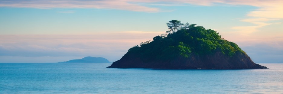
Timlau Islands
A group of about 65 islands that are part of the Kanluranan island group, currently controlled by the Tagápulo Empire. The largest of these is Tanah, which occupies about 13% of the land area.
Geographic Details
Location: Southwestern RegionLatitude: 22.32 degrees North
Longitude: 35.19 degrees West
Average Elevation: 66 ft
Highest Point: 902 ft
Lowest Point: -3 ft
Area: 3,900.76 sq mi
This article is a stub, and will eventually be updated with more complete information. Let me know in the comments if you would like me to prioritize it!
This article was originally written for Spooktober 2024. You can find all of my Spooktober Articles at Spooktober Central.
This article was originally written for Spooktober 2023. You can find all of my Spooktober Articles at Spooktober Central.
Comments