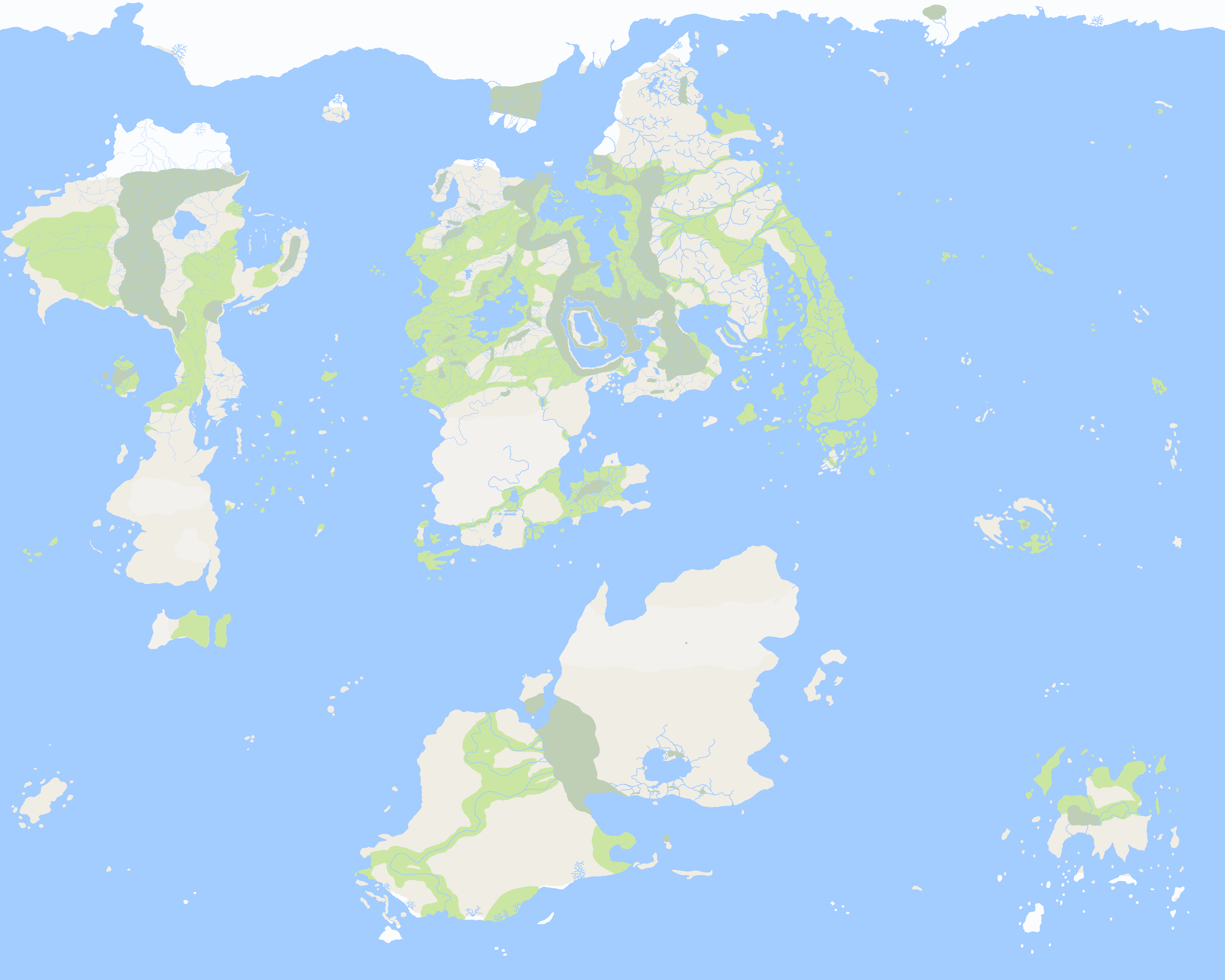
Map of þát
The Map of þát was a map of North Quentar carved into a large boulder in Laɟacan. It showed important landmarks like rivers and mountains, but it also showed the various major tribes of the Bu'uirath and where they had settled. Jadar þát Culuuc allegedly carved the borders of his people into the stone after his victory in the Siege of Ludox Arcius in order to assure homelands for his people. þát's own tribe had wandered for years without a home, and the accompanying stone tablet to the map detailed which tribes would settle where to make sure every Bu'uriath had a place they could call home.
The rock remains in the Sanctuary of Laɟacan, although it is not one of the most important attractions of the site. The borders drawn on the map never really represented the political reality of the region, but it was referenced several times in Bu'uriath legal documents. It has been used as justification for people seeking dominion over control of the region. Finally, it has also been a useful historical artefact, revealing both the spread of the Bu'uriath less than a hundred years after their migration began and the power of þát in his role as de facto leader of the Bu'uriath.


Comments