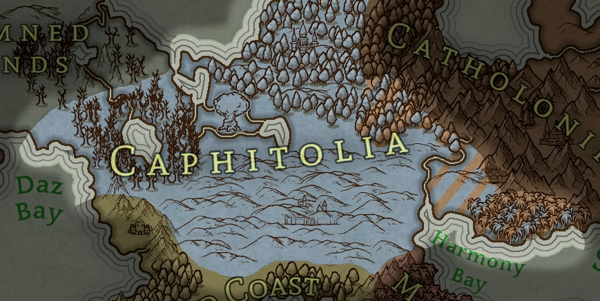
The land known as Caphitolia has undergone many changes. The land has always been in conflict, people fighting over its precious resources or open tracts of land. It has gone between many different kingdoms, both domestic and foreign. Pragmatic, the inhabitants of Caphitolia always incorporated as much of the previous kingdom's resources as possible, including dismantling structures, recovering old books, and chronicling each step. The Trillia Hills are fertile in their valleys, and the lands around the Greattree are bountiful. The Valimorite settled the lands here thousands of years ago, right after human's Great Revelation. As such it is the oldest human-centric land in the world.
Regions

Trillia Hills
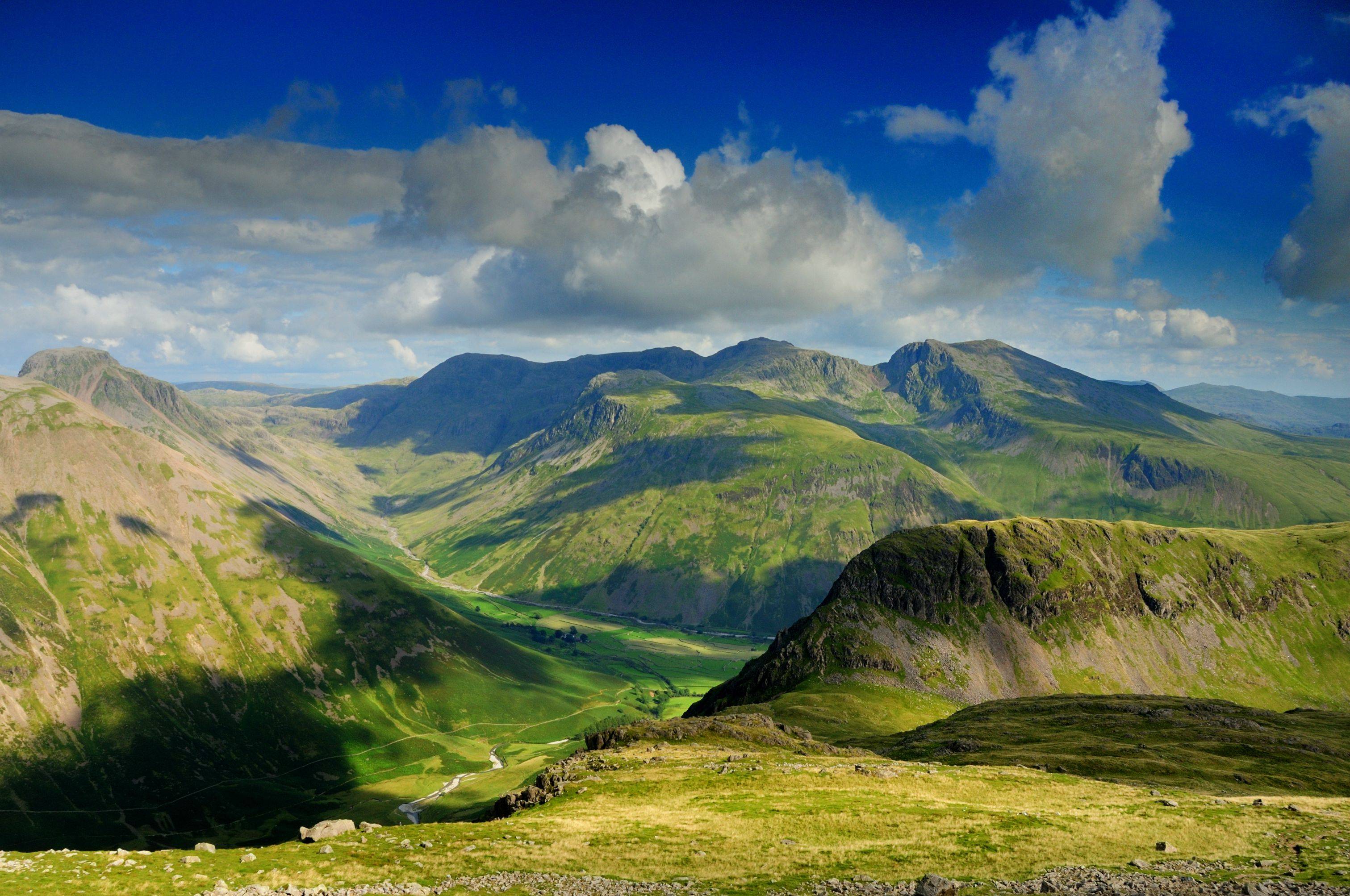
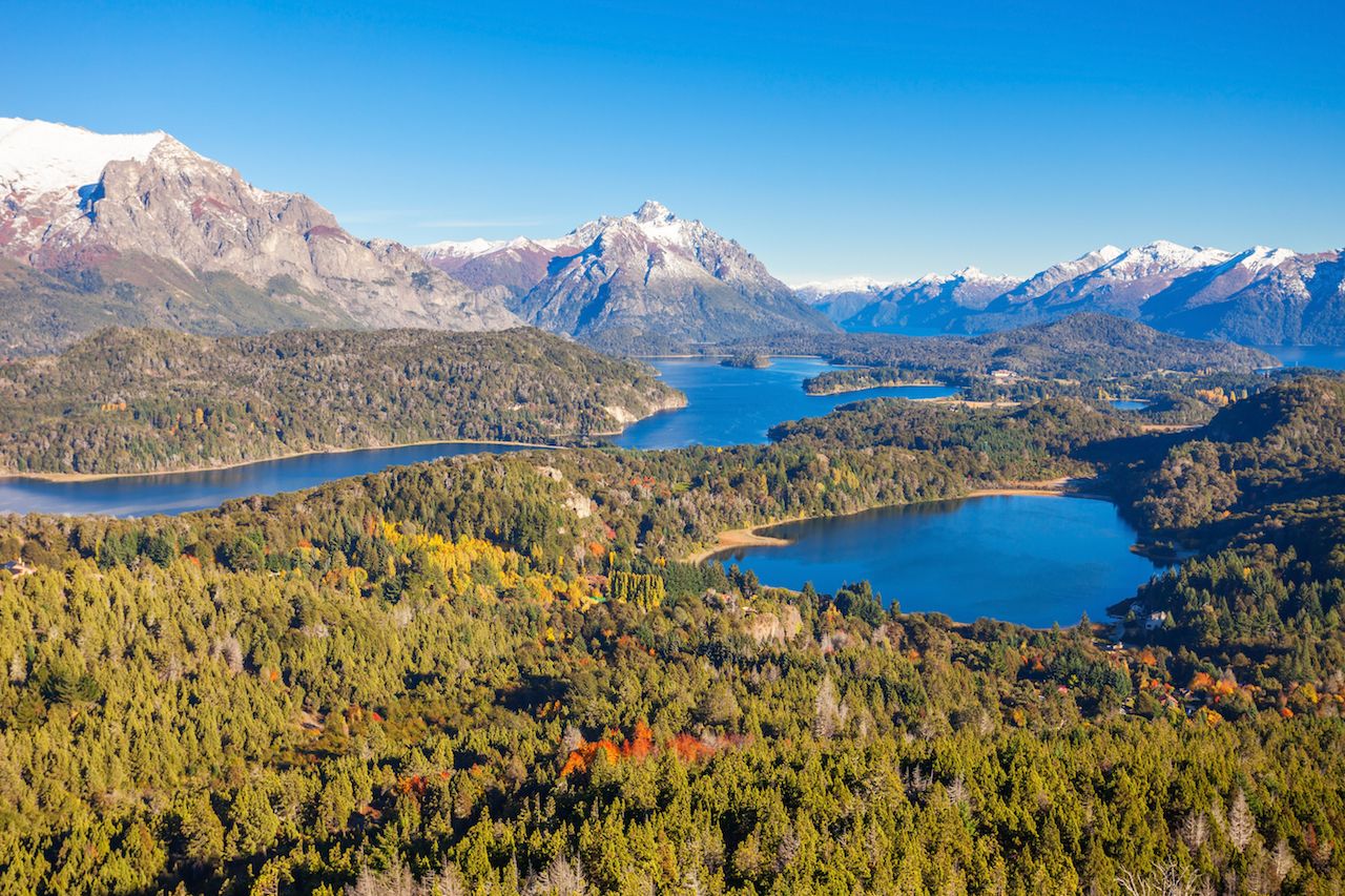
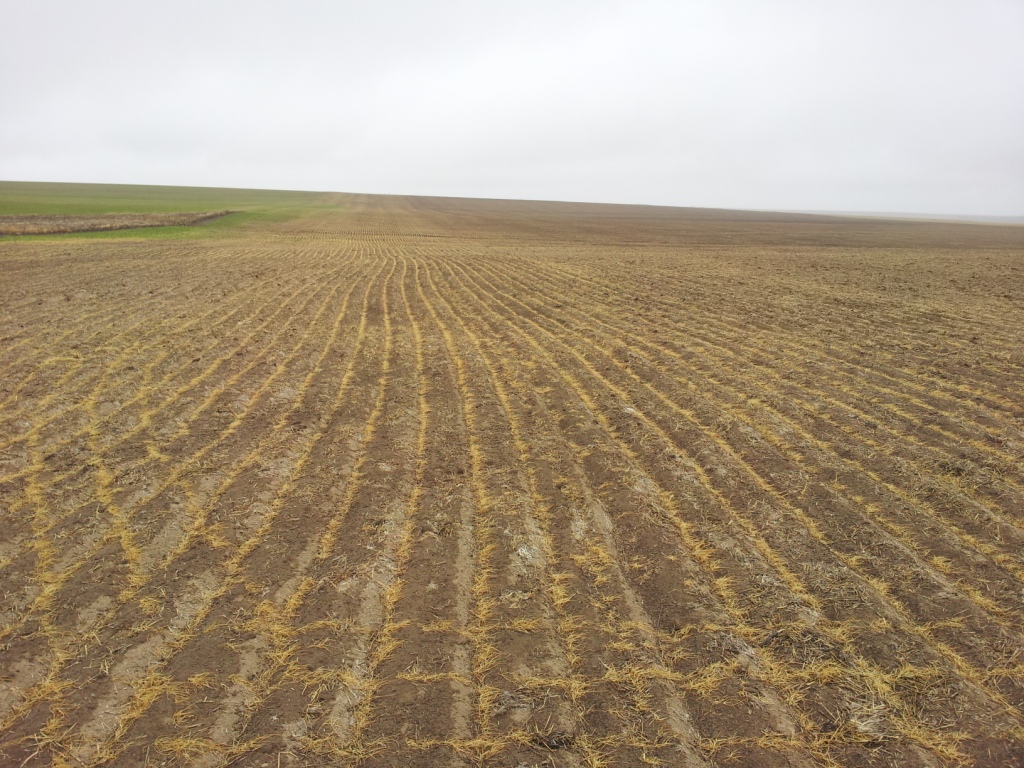
Trillia Hills dominate the central region of Caphitolia. The hills are contoured for agricultural needs, growing wheat and barley in the south and maize and various vegetables. In the west woody valleys and groves scramble up to gray stone rocks of the harsher hills.

Gillashë
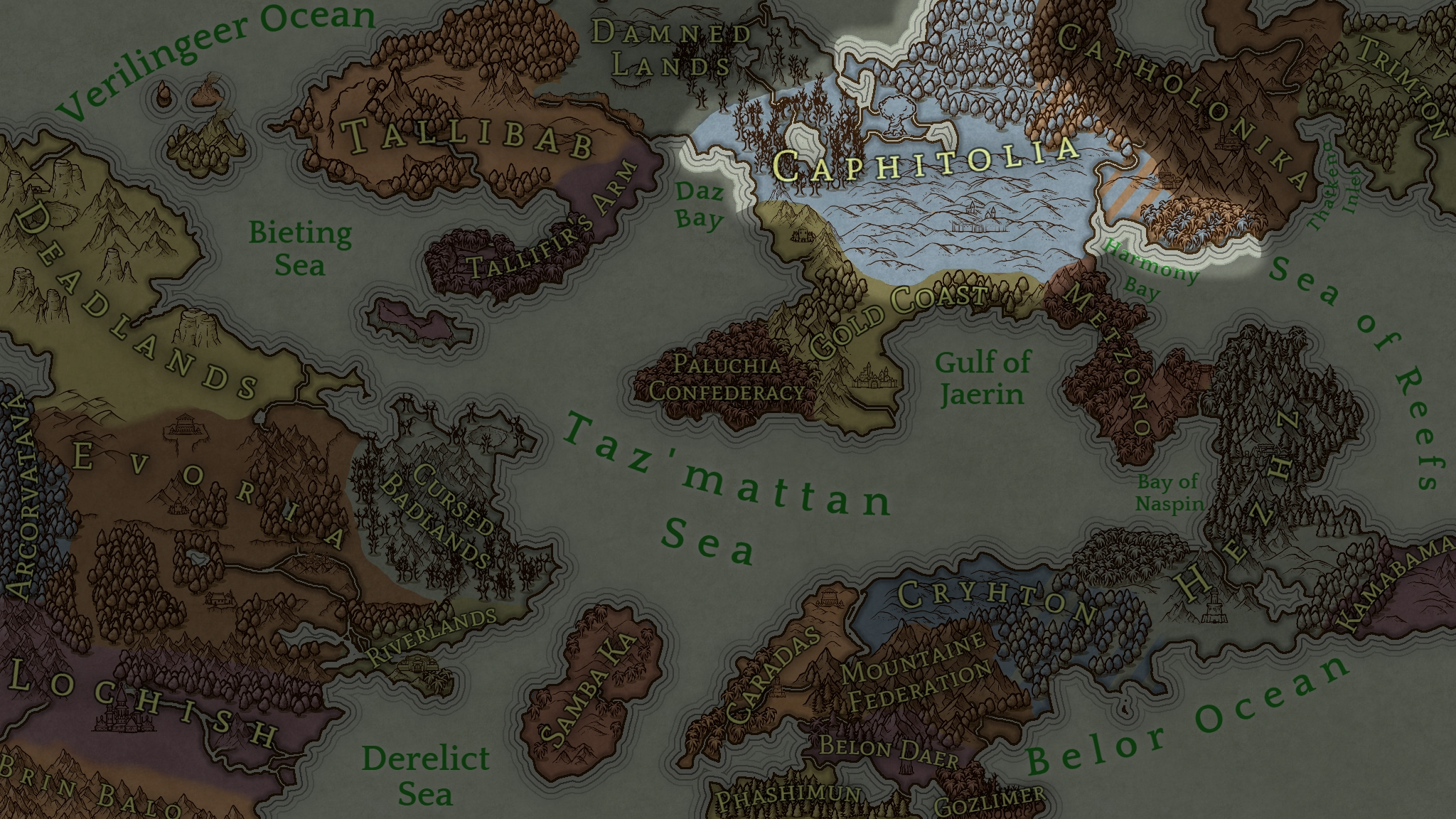
The southlands are mountainous on its borders. However, in the southwest the hills run flat at the Gold Coast border, allowing a viable trade network to flourish. West of this the hills merge into the foothills of the Gold Mountains. The mountains of Metzono border the southeastern edge.

Gold Hills
The Gold Mountains tumble down to the just as luminous Gold Hills. Gold's Pass between the Gold Mountains and the Gold Highroad connect Gold Coast here. Merchants exchange many fine goods through the guarded pass.

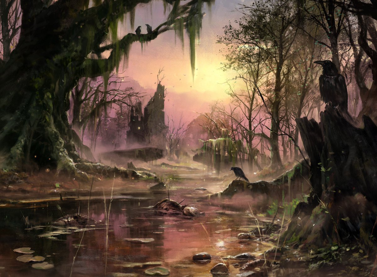
Swamp by Paul Scott Canavan
Swamplands
The large Swamp of Delga was once beautiful. It became fell many centuries ago. Each year it spreads like a cancer, covering more ground and corrupting once-fertile land. It's surrounded by claustrophobic, dead trees from an ancient forest, ash-gray and sickly.

Great Prairie
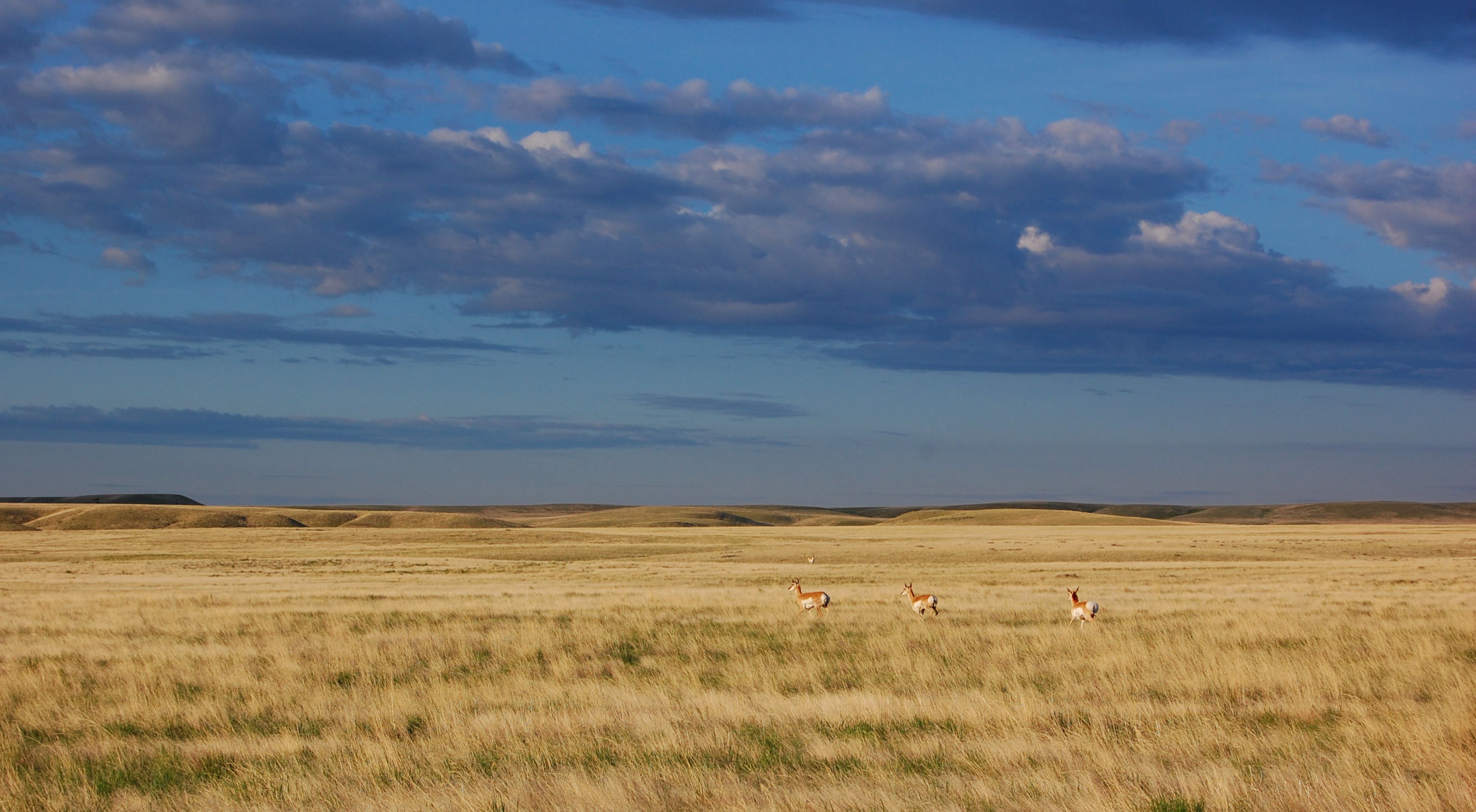
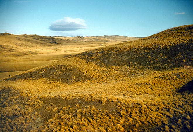
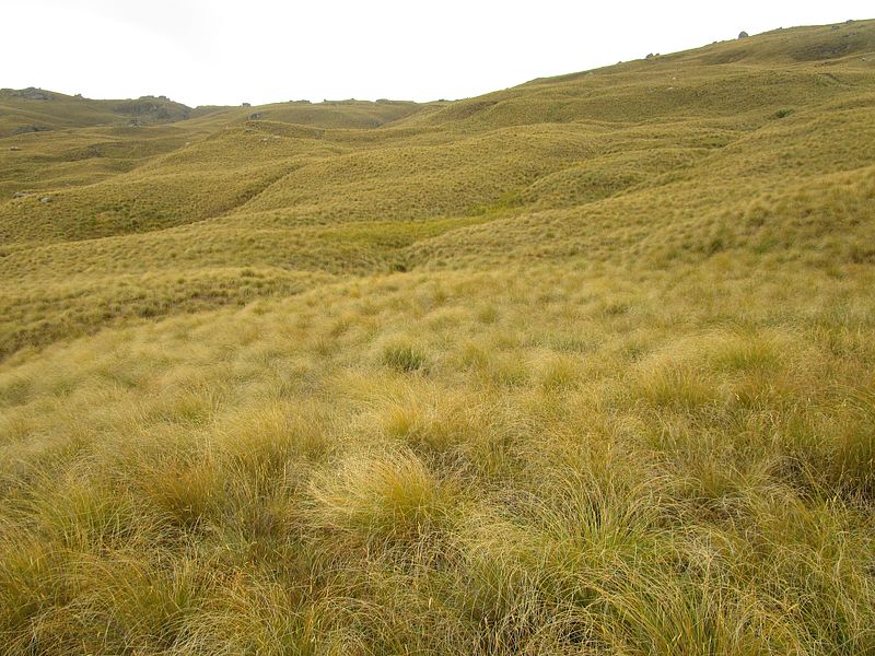
East of the swamp is the home of the Greattree of Sefir Daeg. It towers above the tussock grassland. Old belief holds that a demigod lives in its verdant crown, and many believe that demigod to be a good dragon that roosts for centuries. A few miles east from the Greattree is Lake Baimakole, a bustling fishing lake. The prairie ends at the Verilingeer Ocean to the north.

Clazhec
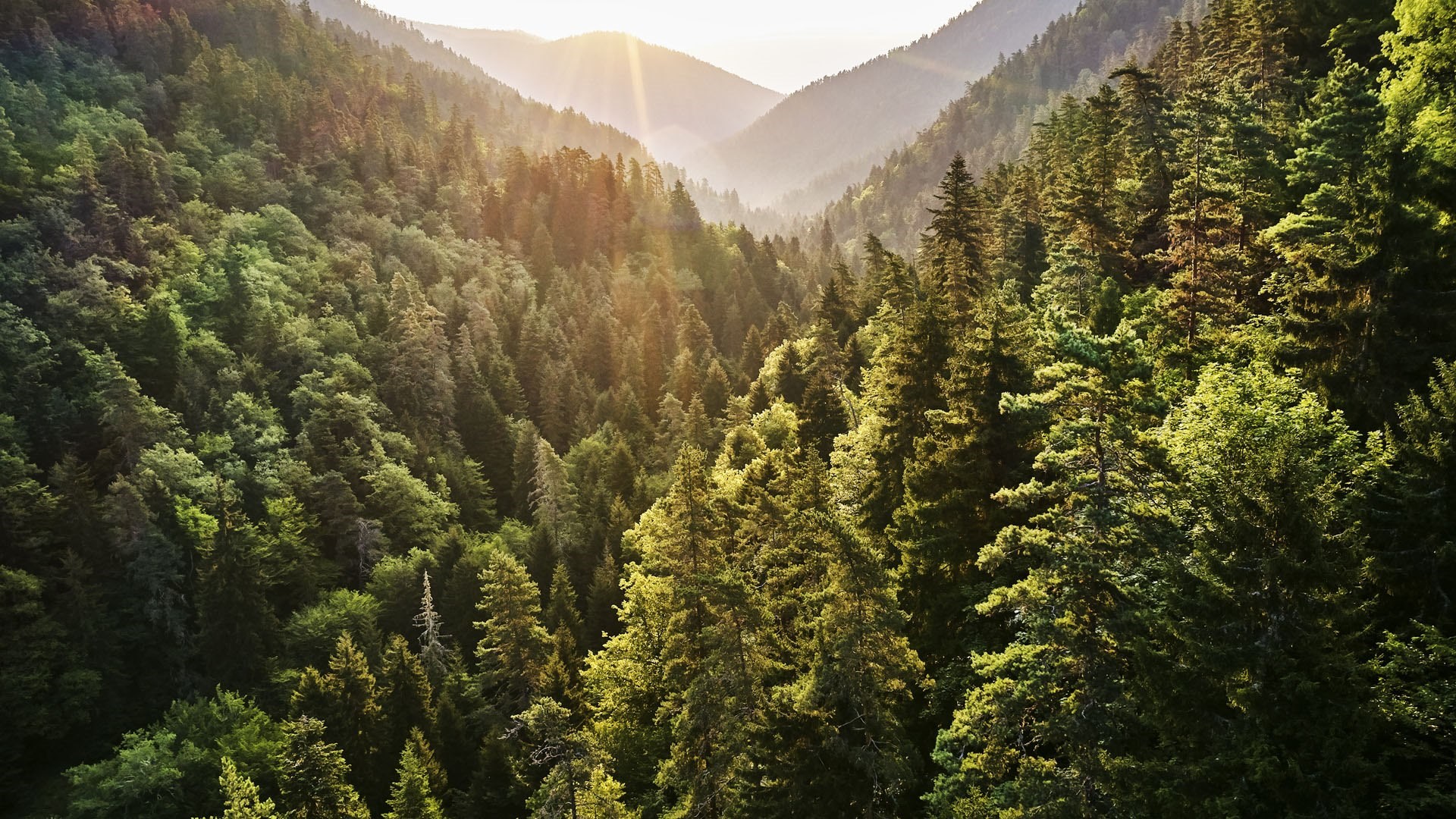
The tall Great Forests of Clazhec blanket the hills. This canopy blocks most sunlight so pine needles gather in dark mounds. Farther north, the hills flatten and meet icy and desolate plains.

Eastern Foothills
The eastern border is scared by conflict. The Jaggeds are said to be red with the blood of the children of Caphitolia and Catholonika. The slim birches and larches reach up the Jaggeds and mingle with beeches and oaks along the River Torn. The mountains are rich in resources, though the dwarves inhabit the best mines. The Jaggeds used to be under Caphitolian control, but in the last few decades have fallen under the domain of the Qaath.

CONTESTED: Trillmia Coast
The extreme east and south of Jaggeds once was beautiful and fertile. Due to its only real passage between the two nations besides the treacherous Jaggeds, this narrow corridor hosts several battle sites and some of the bloodiest conflicts in the Everwar. Its fields lie forever fallow, salt-sown from both sides who try to resist each others' advancement.
Oceanward
The north of Caphitolia extends to Oglec Point, deep in the Verilingeer Ocean.
Alternative Name(s)
Cahfitolia
Owning Organization
Related Ethnicities



Comments