Canadian Occupied America
By all accounts, Canada made it through the Boom in much better shape than the U.S. of A. While the extent of the damage suffered by our neighbors to the north is very much a matter of rumor and speculation, it's generally believed that Russia concentrated its Canada-bound nukes mostly on large cities near the American border, especially those in the eastern part of the country. This left large swaths of the north country largely untouched by fallout, allowing the people of Canada to mobilize and begin rebuilding months before America crawled out for the bunker. Based on 200 years of close proximity to America, Canadian leaders realized that their top priority was securing their borders before their southern neighbors revived their belief in Manifest Destiny and pointed it northward.
Within months of the Boom, Canada had a small army of radiation-suited workers loading dump trucks and trains with irradiated rubble from their fallen cities and piling it as high as it would go along most still-habitable sections of the American border. Along the border with the Boomlands, they built two stretches of wall around 100 miles long out of non-radioactive material: one with International Falls at its center, the other along the Washington border near Cawston, British Columbia. In the center of these walls they built long fortified and multi-gated highway corriders, creating a choke point similar to the barbican of a medieval castle. The only contact that the survivors of the Boomlands have with the citizens of Canada occurs at the dinertowns that have sprung up outside of these gates. Most of what is known about post-Boom Canada comes from Canucks who have been permitted to cross the border to trade at these diners.
If Canadian traders are telling the truth--and there's no reason to believe they're not--the border wall ends at Great Lakes. Early Canadian scouting parties found that a stretch of the American interior along the Appalachians stretching from Pennsylvania to Maine still supported survivors, but that this section of the U.S. was completely cut off from the rest of America by the heavy fallout and destruction to the south. This formerly American territory is now under Canadian rule, though accounts vary as to whether the annexation was voluntary on the part of the Yankee survivors. Canada is also believe to have taken over Alaska, but even less is known about the situation there. Between the hellscape east of the Mississippi, the puportedly inpenetrable Canadian border defenses, and the Canadian gunships patrolling the Great Lakes, a reunion between the folks of the Boomlands and the Americans who survived in the Northeast and Alaska seems unlikely.

Alternative Name(s)
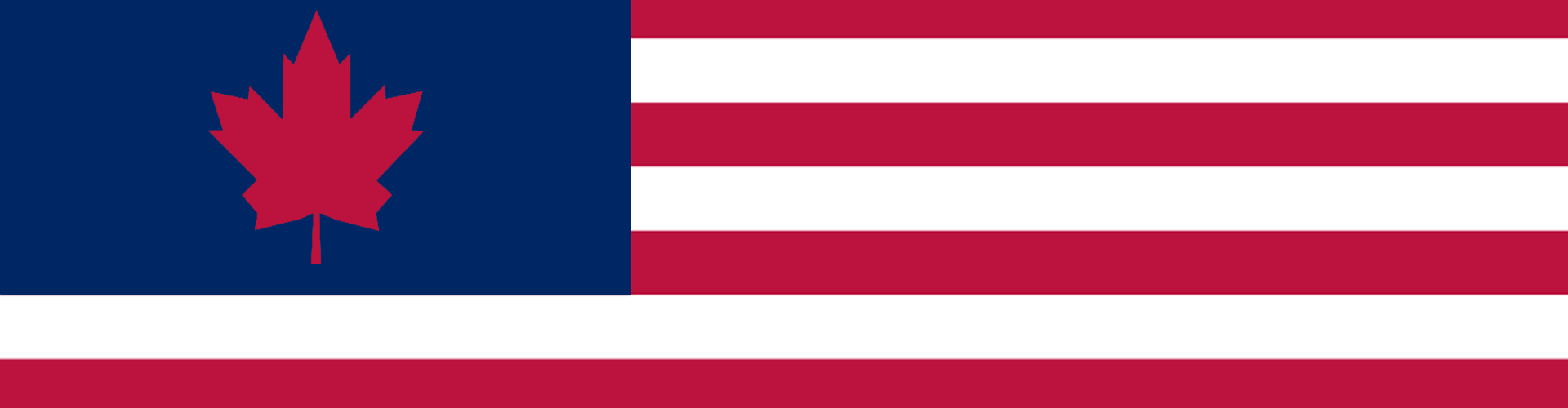
Fortress Canadia, Darkest Canada, The Great White North (for Canada) / The COA, Canadian States of America, New Swaziland, New Gaza (for Canadian Occupied America)


Comments