
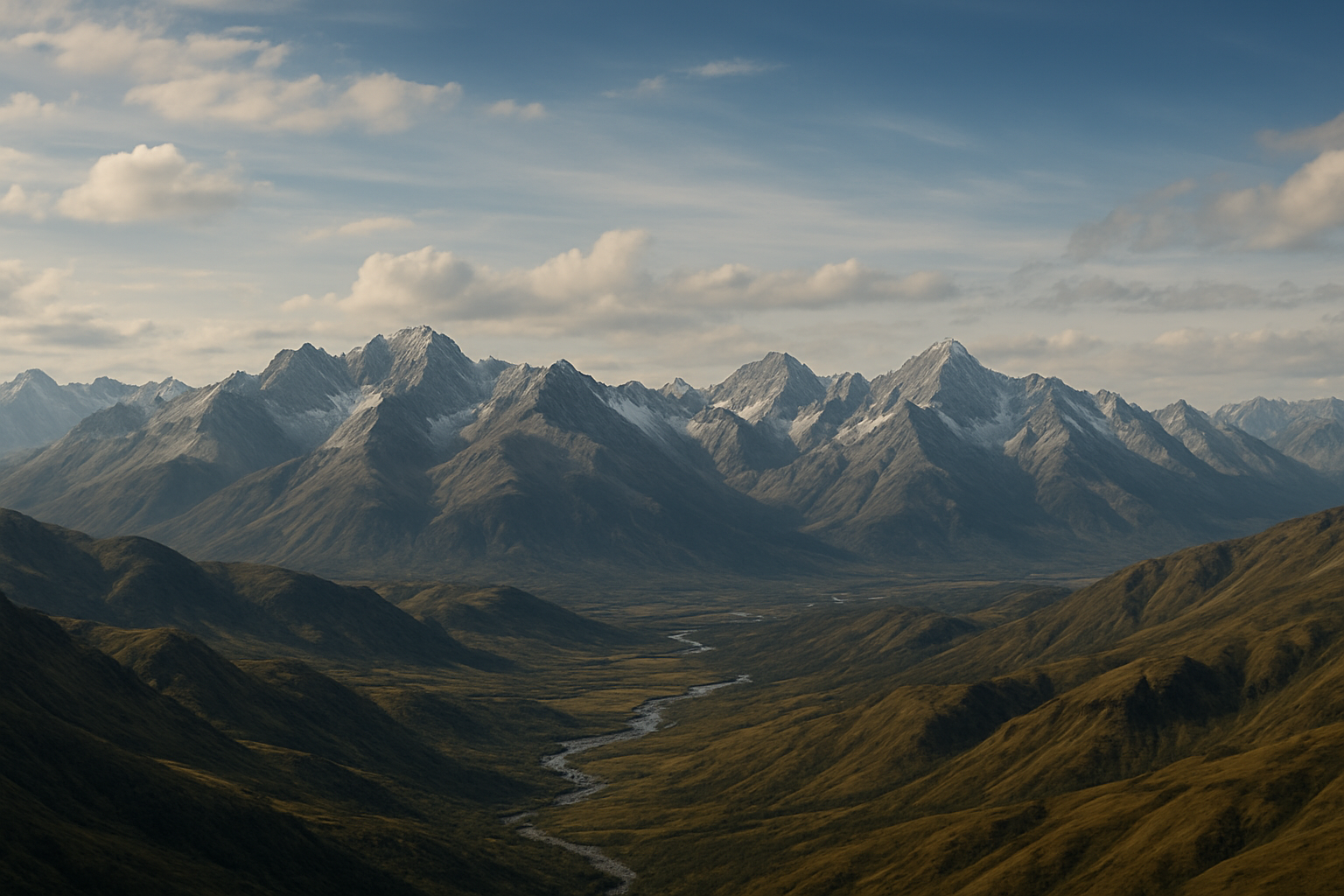
Ironveil Range
The Ironveil Mountains stretch in a long diagonal sweep from the southern borders of Thrix to the northern flatlands between the Sanguine Remnant and Arborlith Vale. Though they are the second shortest of Anuk’s great mountain spines—surpassed by all but the Solstice Peaks of Hjartaland—they are no less formidable. Their ridgelines rise to heights comparable to the great summits of the world, with many peaks reaching between 7,500 and 8,500 meters. From their snowy crowns to their deep glens, the Ironveil Range shapes the climate, cultures, and commerce of nearly every land that surrounds it.
Geography and Boundaries
The mountains form a natural barrier between regions. Along their entire northwestern flank, the Ironveil presses against the vast Husfrea Wealdland, the ancestral forest of the Elves. To the southeast, the range runs parallel to Verdantia, whose foothill settlements cluster around trade roads and mineral resources. The southern tip narrows toward Thrix, where the land opens into warmer plains, while the northern end breaks off abruptly into a wide expanse of flatlands stretching toward Arborlith Vale.
The range itself is a study in contrasts: sheer cliffs and glacier-fed valleys in the northeast; hot springs, green basins, and softer foothills in its southern portions; and rugged, volcanic stone dominating the southwestern territories.
Regions of the Ironveil
Durinbar occupies the northeastern third, a domain of sociable dwarven clans whose craftsmanship and diplomacy have made the area one of the most culturally accessible of all dwarven holds. Ringed by trade routes and shaped by carved mountain citadels, Durinbar is renowned for its openness and its deep ties with Verdantia.
The central third of the range is more fragmented. Partially unclaimed and partially held by Verdantia, it is best known for the Ironveil Springs—a small but bustling city built around a natural geothermal basin. Merchants, scholars, and travelers gather here, turning the springs into one of the most unusual and cosmopolitan enclaves in the mountains.
To the southwest lies Krashnakhul, a harsher territory once ruled by goblin tribes. Two decades ago, the kobolds seized the stronghold of Zug’krash and the surrounding mines, establishing a new and fiercely defended domain. The region remains volatile, marked by rapid expansion, shifting alliances, and a proud, often unpredictable sense of independence.
Rivers and Watersheds
The Ironveil Range is one of Anuk’s great watersheds, feeding several major river systems. The Viridis descends northwest, winding through the forests before flowing toward Great Crater Lake and the roots of the worldtree. The Ironveil Run cuts southeast through Verdantia on its journey to the Azure Expanse, shaping trade and agriculture along its length.
To the south, the Virtaojn runs into Thrix, bringing meltwater to an otherwise drier region. Numerous smaller rivers flow into the Husfrea Wealdland, unnamed but indispensable to the elves who dwell there.
Significance
The Ironveil is both boundary and bridge—a place where cultures divide, but also where trade and diplomacy thrive. Its peaks shelter ancient strongholds, hidden caverns, rich mineral veins, and forces far older than any of its current inhabitants. Though split among clans, nations, and independent powers, the range remains a single, immense spine of stone that has shaped the history of northern and central Anuk for millennia.

Comments