
World Codex
Maps
-
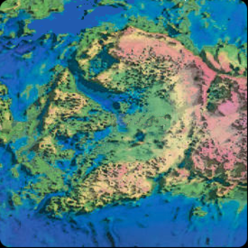
Darago map
Source: Atlas_v7x at Deviant Art. Thanks for the original, mate!
This view covers 30°x30° = 1950mi x 1950 mi.
The pink mountains to the east of the mountain ridge are part of the Silver Forest.
Darago is the circular region in the center; it covers a 1300 mi diameter.
-
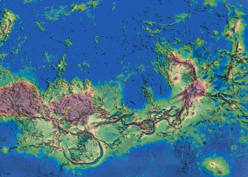
Low Country map
More than half of the continent is the region called the Low Country. (Silver Forest also depicted).