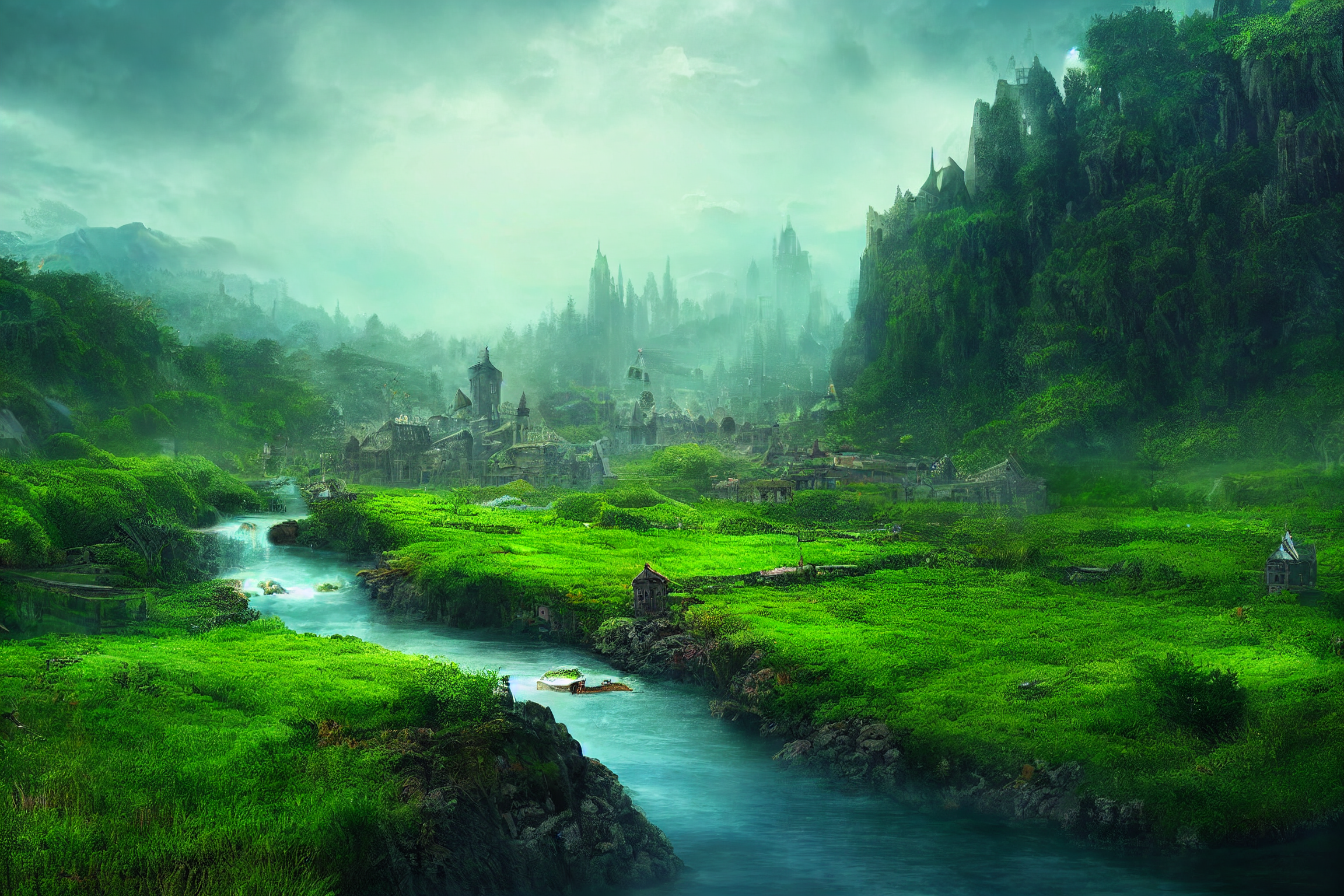
The Sword Coast
The Sword Coast, not to be confused with the Sword Coast North, was the region in western Faerûn that lay along the coast of the Sea of Swords and extended inward into to the vale. It was bordered by the Delimbiyr Vale in the North, and to the south by the merchant nation of Amn.
Some say the Sword Coast took its name from the white cliffs that rose up sharply for hundreds of miles along the coastline between the River Dessarin and Baldur's Gate. Traveling author Volothamp Geddarm attributed the region's name to its dangerous inhabitants, both humanoid and bestial.
Bodies of Water
- River Chionthar
- Grayflow
- Sea of Swords
- Winding Water
Geographical Features
- Cloak Wood
- Lizard Marsh
- Troll Hills
- Trollbark Forest
- The Trollclaws
- Sword Hills
Roads and trails
- Coast Way
- Trade Way
- Way of the Lion
Landmarks
- Warlock's Crypt
Major Cities
- Baldur's Gate- The port metropolis was the hub of trade for the Sword Coast. While it always flourished, by 15th century DR it had become the most powerful city in all of Faerûn.
- Beregost- This large trading town, a day's travel off the Coast Way, was a popular stopping point for merchants traveling between Amn and the Gate.[6] By the 1360's it had become a major mercantile center in the region.
- Bowshot: A small village, just a "bow's shot" away from the Misty Forest, built around a series of caverns that were believed to connect further deep beneath Faerûn.
- Candlekeep: This coastal citadel of learning was the former sanctuary of the famous oracle known as Alaundo. The order of monks that called it home, The Avowed, kept visitors to a minimum while offering the wisdom and learning of its libraries, albeit at a steep cost.
- Daggerford: A small, walled duchy that was surrounded by a number of farming villages. Although it was ruled by a lone head of state, its daily operations were overseen by its Council of Guilds.
- Friendly Arm Inn: This walled keep was a safe refuge for travelers along the Coast Way. It housed the Temple of Wisdom, a shrine to the gnomish deity, Garl Glittergold.
- Gillian's Hill: A small farming hamlet that, aside from housing an entrance to the Underdark, was fairly indistinguishable.
- Kheldrivver: A small hamlet at the southeastern edge of the Troll Hills.
- Lathtarl's Lantern: A small fishing village on the Sword Coast at the mouth of the Winding Water. It was close to Warlock's Crypt.
- Liam's Hold: A small hamlet about a day's travel south of Daggerford along the Trade Way.
- Orlumbor: A small rocky barren island city-state in the Sea of Swords.
- Roaringshore: An isolated village nestled in a small deepwater cove on the coast about a third of the way south from the mouth of the Winding Water toward the city of Baldur's Gate.
- Ulgoth's Beard: A hamlet on the north bank of the river Chionthar, within sight of the Sea of Swords.
- Trollclaw Ford: A hamlet located on the Winding Water was crossed by the Coast Way, connecting Baldur's Gate to Waterdeep. It would appear to be named after the Trollclaws, a group of hills to the immediate east of the ford.


Comments