Wal-Keshish
The Expanse between Powers
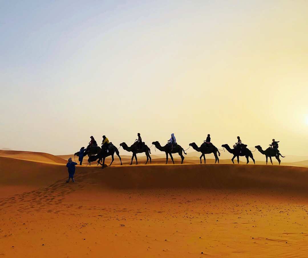
Aye, at long last, no more of these unforgiving seas and unwelcoming hills. Here, we have a wide expanse, an open realm where many can build their homes.Most famously the site of Kailrana, the coastal plain of Wal-Keshish is situated along the Boundless Ocean as an overland route between the Haifatneh Basin and coastal Takhet. Although the expanse is sheltered from rain by Shaqhu Isle rising in the ocean before it—for better or for worse—Wal-Keshish has been subject to perhaps more than its fair share of imperial and colonial designs.- Aulfur the Abundant, as quoted in Northerner oral histories, c. 3423 HE
The Names of Wal-Keshish
Wal-Keshish functions as an alternative travel corridor between the Haifatneh Basin and Vast Takhet during the winter's inclement maritime weather, and it has been a site of political contestation ever since the late Ancient Era, when polities of noteworthy might arose in the Basin and Takhet. As such, it has been known by a number of names, each with some variation in pronunciation. The coastal plain's most commonly accepted name, Wal-Keshish (originally Wali-Kishish, "next to the rains"), signifies the initial impressions of the pre-Haifah Sea People who would visit the place from the storm-battered Shaqu Island for shelter. (This name was also readily adopted by pre-Haifah settlers from elsewhere, who instead tested their luck with wheat agriculture along the plain and found themselves in want.) While this name is only occasionally documented infrequently up to the Shame of Wahaareh, the Haifatnehti Hegemony that rose in the aftermath of that conflict saw a growing traffic of Haifah merchants and opportunity-seekers take a liking to the old pre-Haifah toponym. The pronunciation of the placename has gradually shifted since, in no small part due to the influence of the prevalent population of (arguably indigenous) Takheti people there. The earliest attested name of the region is Dou'akal (lit. "beneath-land" or lowland) in Old Eranigh. Conventionally, the name is understood to have been chosen in comparison to the highlands of Takhet Alay, but if myths passed down through oral tradition are to be trusted, the name may also refer to a primeval past when the coastal plain was intermittently submerged by changing sea levels—or catastrophic oceanic storms. However, the modern affectation Douwakwal, more accommodating to speakers of Haifatmizti (including people of Takheti heritage raised in Andaen), has since become established as the region's second most popular toponym. In the context of the Crusade and the Reconquest, the region, presumably named Dou'akal at the time, was favored by the Frulthudii colonists as an early staging ground, second only to the Strait of Andaen itself. The Kraesprauch name for the region, curiously, is simply attested as Gamarh ("borderland")—suggesting, in the view of historian Saffiya an-Winari, that the initial Northerner settlers had underestimated how much land they were going to annex into their nascent Reborn Theocracy. It is also thought that the Northerner arrivals failed to learn any local toponyms for the place, having achieved paltry proficiency in local tongues by the time they began forcefully displacing the fishers and petty traders residing there.
Alternative Name(s)
Douwakwal; Gamarh (3423 - 3501 HE)
Type
Coast / Shore
Location under
Included Locations
Related Ethnicities
Related Traditions
Remove these ads. Join the Worldbuilders Guild


Comments