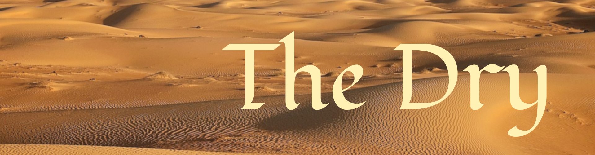
The Dry
The Dry is a desert that spans Guaine and Tranquil, on the edge of the Northern Plateau.
History
The region called Cascade began a slow decline into desert starting fifteen thousand years ago, when the Meygharkins rose high enough to prevent most storms from crossing the tips of the mountains. Far later, Condi lightartists associated with the Green played about with the edges of the Plateau, and while their experiments in raising the land were successful, the effect was to divert wind carrying water from going inland. Instead, it curved north of the Sea of Condioh and followed along the Plateau's base, which still keeps their homeland lush.
all artwork by Shanda Nelson except for Featured Image, which is by FreePhoto at Pixabay
Myth
Religious myth claims that the sylfaone Shabdhu Vethen upset Djarkin Thrall by winning a duel. Vethen bragged of his superior might, and Thrall plotted revenge.
At that time, the Dry was known as the Cascade, for the amount of water that made it a lush paradise year-round. The rain was a gift from Vethen, and the peoples who lived there honored him with gifts, temples and adherents. His priests held the most popular government and religious ranks, and all was well.
Thrall changed that.
He caused the Meygharkins to grow, to a height to prevent the southern winds from crossing them. He edged the Plateau to the south, capturing the winds and rain from the Sea of Condioh and sending them back along the Plateau's side, rather than allowing them to reach the Cascade.
He then pursued Vethen across Arberiss, battling whenever he paused, preventing him from helping the peoples he had blessed.
The Dry rose, fast and furious, and the peoples fled to the Lifegiver, which, despite the drought, remained full. Their populations dwindled due to lack of space, and Vethen's priesthood died a violent death at the hands of the desperate.
The final transition, from Cascade to the Dry, happened when Temtem, companion to the dragon Sykava, stole Vethen's final gift to his followers, the Vethen Crosscatch. He gave golden horse sculpture to Thrall's order, a religion he proudly proclaimed his own. After the Crosscatch left the land, so, too, did the rain.
Myth claims the rain followed the Crosscatch, and gifted drier regions of Mackdregh with enough water to create greener grasslands.
Only then, did Thrall stop chasing Vethen, who now had no followers, and therefore, no sylf power. There is no moral, just an acceptance that sylfaodolon power struggles cause human suffering.
The Jonna Empire had plans to traverse the Dry, using it as a base to conquer Greenlock, Fein and Drae-goun, but found it untenable.

Black Hills, Verad by Shanda Nelson
For the adventurous, numerous ruins dot the landscape, and myths about treasures abound. The once-proud temple city of Raladescht is hidden somewhere in the sands, and some old wives claim the royal family's treasure house is still viable, ready to be found and exploited.
The Dry
The Dry was, and still is, the home of nomads who follow the sparse water sources. The Yad Veth and the Schtad, as well as non-Oritan Maek Vars, wander the sands and rocks. They collect shards of the precious gem kees exposed from the roaring windstorms that rise up from nothing and disappear quickly. Kees, a reddish-yellow stone, is used by wielders in scrying rituals and can sell for hefty sums in the Tchadik markets.
The western edges of the Dry have desert vegetation in abundance, and the lands adjacent to the Livegiver are very lush. The interior has sand dunes, tall, red rocks, and heat. Only the wind lives there, kicking up sand and whirling it about before depositing it across the rocks. Water in the dryest areas is non-existent, and most nomads and traders steer clear, keeping to the outskirts and the oases found there.
The landed along the Livegiver farm dryland grains. Irrigation ditches run the length of the river until it reaches the grasslands of Verad. Tchadik, Guaine's capital, lies on it, where the dry grasslands of the west are changing into desert. It has the last port before the river becomes too narrow for larger ships to navigate.
Some consider southern Verad and the Crystal River to be part of the Dry, but scholars note that it receives enough rain to not technically be a desert. It is still dry, but has far more vegetation than other parts of the region. Verad does house the Black Hills, which behaves as a dividing line between the drier Dry and the Sea of Condioh grasslands.
Flora and Fauna
The Dry is home to numerous animal species, including the grumpy lizard, the drylands fox, the rainbow grek (snake), and the thorn hare. Larger animals like the rock deer and the movax (large antelope) prefer areas that have more than a glimmer of grass. Plants include the prickle, the tchori tree, red thornberries and sand grass.
The interior of dunes and rock only have life at the rare oases. These places are where underground rivers touch the surface, and have small reptiles and insects, mice and birds.

lizard gerhild klinkow pixabay
Points of interest include:
- The Barren Sky Monastary
dedicated to the wind sylfaone Treys Leseth and situated on top of the tallest red rock in the Moc Region of Tranquil - The Black Hills
in Verad. It is a place of black soil, black rock, and no vegetation. Some claim it looks as if a sylfaone burnt the earth - Hidden Oasis
every nomad knows where Hidden Oasis in Guaine is. It is a difficult trek, but the only source of water for at least a few days in every direction - The Prickle Forest
named for the trees with long, thin needles. it is found in western Guaine - The Tranquil
The Tranquil is an oasis with a huge overhanging rock, beneath which water, plants and animals are found. A sense of peace and wellbeing fill the air with the sound of insects, which had led healers to prescribe a visit to their most stressed clients - The Hallowed
holy place for the nomadic peoples. Two tall goldish rocks stand sentinel to a labyrinth cut into the rock by long-ago water. In the center is an oasis with a large tchori tree that bears the sweetest fruit. The fruit is pressed into wine and used to flavor beer, and luck follows those who imbibe

The Dry, Hidden Oasis, Northern Guaine by Shanda Nelson


Comments