Whetu Mohio
The Maoloaiya art of pathfinding called "whetu mohio" relies heavily on memorizing the positions of the stars and their constellations over the course of the year and using these and the horizon to deduce one's location and which direction to head towards.
Though only through oral tradition, the Maoloaiya were the first to accurately chart and document the night sky over the southern hemisphere. It was through their guidance that Yamato explorers were able to create accurate star charts and use them for navigation themselves during their exploration and mapping campaigns.
However, whetu mohio is only a primitive form of so-called "celestial navigation". While both use the stars, constellations, sun, moon, and horizon to navigate, Maoloaiya do not have the tools necessary for accurate celestial navigation, specifically lacking sextants and accurate clocks to measure angles.
While they use crude implements to compensate for this to a certain degree, the surprising accuracy of their method of pathfinding can be attributed to their powerful oral tradition, which not only transmits the constellations throughout the year with high accuracy but also tells about the many individual characteristics of islands already visited by ancestors.
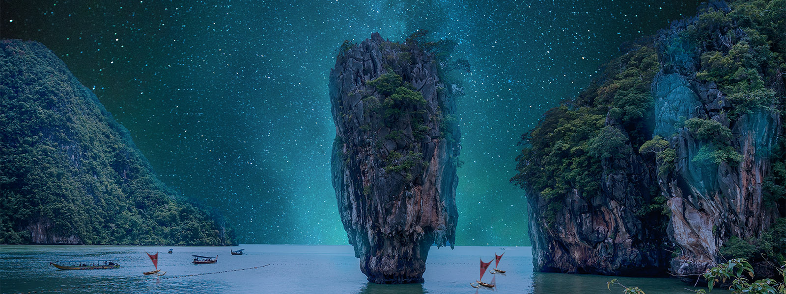
Additionally, the Maoloaiya have learned to pay great attention to the changing weather patterns of their surroundings, learning the "moods" of certain regions of the ocean to better ascertain their position. On top of the aspects of celestial navigation inherent to whetu mohio, so-called "piloting" also plays a roll in the art, relying on recognizing geographical markers accurately to determine one's position. On top of the Iron Belt, the Gastropnir Glacier, the Walls of the Spiral Sea, and the many islands of the Ocean Belt, there are far more subtle and ephemeral types of markers recognized by the Maoloaiya, which have allowed them to accurately navigate hundreds of thousands of kilometers of the Corsic Ocean and Trans-Glaciatic Sea.
Safitti picked something out of the water and eyed it carefully. She rose up in excitement, proclaiming: "Soon, we will reach land! The island of Gehsi lies just beyond the horizon!" To this, the draped man made a sort of snuffing sound. "How do you know this? You have no tools or maps! And those precious stars of yours are still a few hours away. Can you smell it or something like that?" Considering he had come to learn from Safitti's people, the draped man seemed grumpy and impatient a lot of the time, and always there was disapproval in his eyes. But Safitti had no cause to worry about that too much; she just felt a bit sorry that he was not having a great time by the looks of it. "Ah, something like that I think!" she said brightly, tipping her nose. "The ocean is different around different islands, and it carries many clues. Look at this!" She held up the treasure she had picked up out of the water. "It's a piece of driftwood," the draped man said unimpressed. "Yes, from Gehsi. See the patterns in the wood and its texture? It's from a Ghesi Nikau. The palm trees on different islands are rarely quite the same," Safitti explained. "Nor is the weather. It has rained twice in the past few days, and this is very typical of Ghesi. And lastly, can you see those green birds in the sky? They live on Ghesi during this time of the year. We are quite close to our next stop." The draped man scratched something into the little, leather-bound rectangle he was so very attached to. "Fascinating." Though his tone hardly mirrored his choice of words.


Comments