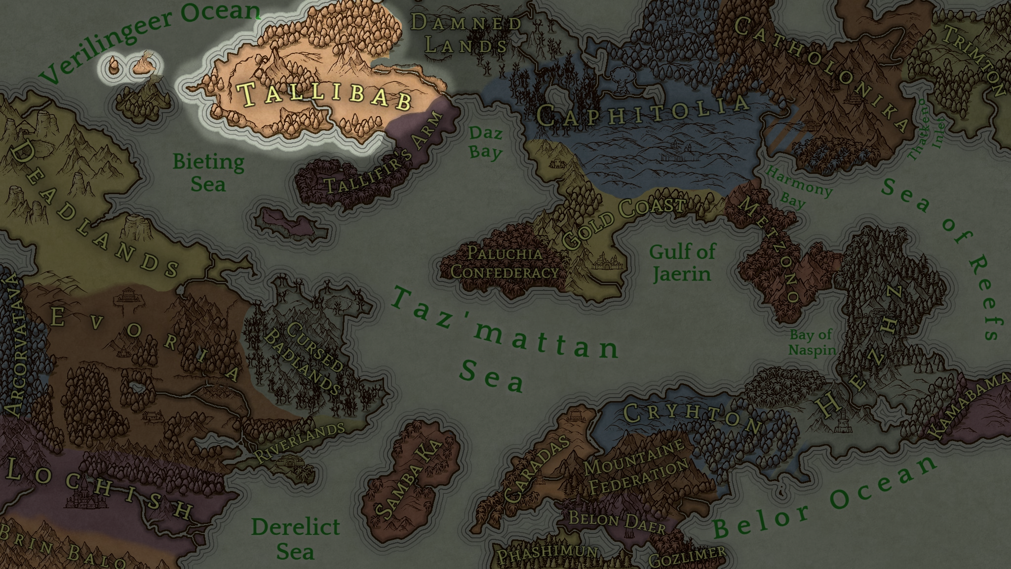
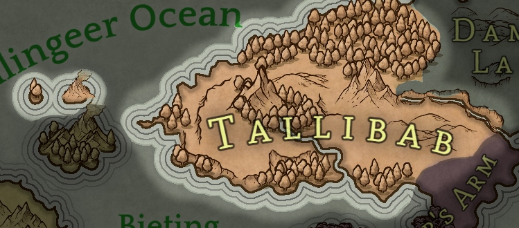
Tallibab sits on the westernmost point of Sefir Daeg. Its neighbors often joke it is "half rock and half snow, in the middle a big pile of stone!" The Tallib would not argue.
God Mountain (or
Mikbalo to the dwarves) is the largest mountain on the continent outside of the Jagged Peaks. The lower slopes are a veritable oasis in the arid plateau of central Tallibab. Many flourish in its springwaters that form the River Kiriqo which winds down the High Gorges into the Daz Bay at the mouth of the Sefir Delta.
From first glance, Tallibab is predominantly desert and snowy forests, and this is what they want to be believed. To them the generalization is a security, for who would invade and die over poor soil and empty land?
Regions
Northlen
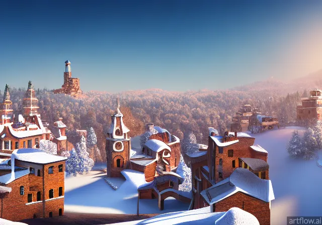
Swasham Village by artflow.ai
North is the colder direction in Sefir Daeg, and north of God Mountain the air chills fast. During the summer it never reaches the blazing temperatures of the South.
Forever forests. Pine forests that blanket these northern slopes and hills make wonderful homes for the elves and Northern Tallib, the Swasham. While elves prefer the large trees to live in, the Swasham fell the trees for their homes
Glacial streams bring nutrients. The cold snow piles on the northern slopes of God Mountain and come Eresummer streams of cold water rush down and to the North. These streams carry minerals to fertilize the hardy plants and short vegetables the Swasham manage to grow.
Walled cities. The largest city is more a loose string of walled towns and walls that connect each like a chain. It is called Walled Way, or colloquially shortened to "Waller". These town need walls to protect themselves from the ice giants that patrol the snow fields to the north and the slopes of the mountains to their south. Though rare, Damn'ders came from across the divide to pillage and raid.
Zammanian Mountains
Few Peaks. The smallest mountain range, there are only seven peaks. Despite their lack of peaks, these mountains do provide a shield from the cold north.
Tall Mountain. The peak of the tallest mountain, God Mountain, Justigacious Peak. A settlement of
Storm giants lives there. Dwarves live and mine underneath the mountains, finding iron, copper, gold, and even some adamantite. The steep slopes and sheer cliffs, and buffeting winds make ascent impossible.
Stormy Slopes. The Storm giants there cause constant clouds and ice storms to fall on the many slopes and peaks of the mountains. Some people live on the slopes, but many prefer the foothills or the plains north or south.
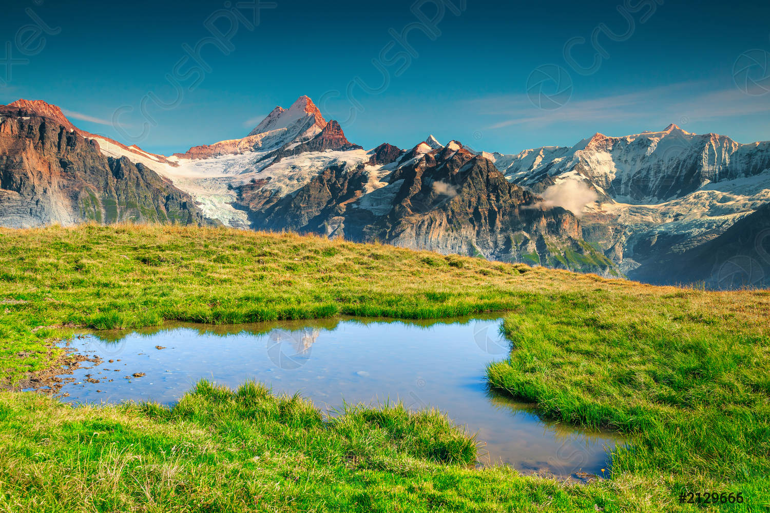
Pleasant Foothills. The lower slopes of the mountains are pleasant and fine, perfect alpine weather with mild summers and cold winters. Glacial ponds form in pockets, sometimes creating otherworldly vistas of submerged grass, walkways, and other structures during high runoffs.
Southlen
Arid, barren south. The southern half of Tallibab can reach sweltering temperatures. Across the arid
Ganbectic Plain, grasslands intermingle with rocky deserts. The top soil is not suitable for agriculture. If one were to pass through the lands, they would see the stretching, often sloping, land with dark marks.
Hidden in plain sight. These marks, as one got closer, reveal not shallow hollows but deep cracks in the ground. These rifts drop down to fertile soil with lush grasses and even trees. Various small fauna inhabit these tiny ecosystems. Some caves even connect many to each other, forming an underground path to connect many together.
Flourishing home. It is no surprise the people of the land inhabit the fertile and largest of these. Homes of dwarves, gnomes, and the Dnynoko, Southern Tallib, are carved into the walls. These deep pockets protect from the arid winds above, so farmers form terraces for their crops of wheat and barley and vegetables. What little rain does come flows into sluices to water the terraces.
Cities and towns. These larger chasms form what are called "rift towns." They call the paths between the rift towns "rift roads." The largest and most connected rift towns form Thiypoppera, the capital of the
Tallibabbite Quali, just south of Shoeto Rock.
Gray Orc Horde. The Grangurs are a horde of gray orcs who roam Southlen. They often attack merchants, taking their valuables and prisoners for dark rituals or to stock their breeding dens. Sometimes battle their green cousins in the Canyon if commanded or defending lands.
Kiriqo's Canyon
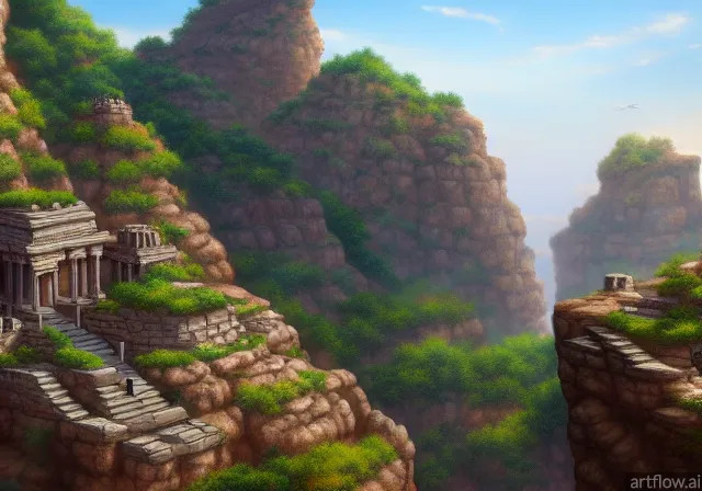
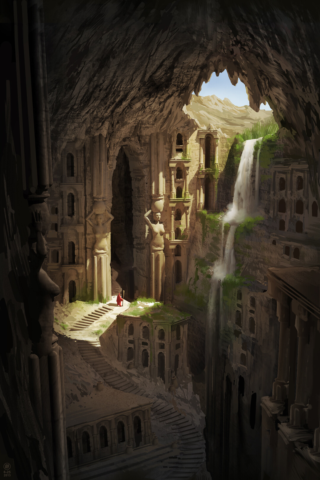
Top of Kiriqo's canyon by artflow.ai
Often called just "Kiriqo" or "the Canyon," Kiriqo's Canyon is the work of the river of the same name that exits God Mountain's eastern roots. The river deposits precious minerals into the soil, giving it a silty quality close to the river, but towards the walls of the large canyon the soil is fertile and plentiful.
Bustling trade center. The largest city in Tallibab is Keychoch and rests in this canyon valley, though it is not the capital. Keychoch receives the vast amount of trade and trade frequently with their neighbors in the South and North.
Green Orc Horde. Another roaming orc horde under Gruumsh's influence, the Bagagod are green orcs who paint themselves red and black. They roam the fertile canyons when their numbers are high enough. Like their gray cousins above, they also capture and enslave those they can find for work and for breeding. They sometimes war with the Grangurs if a fervor overtakes them.





Comments