Bedhra's Waterfalls Geographic Location in The Wellspring Dragons | World Anvil
 
And Bedhra smote the earth, his hand breaking through the black rock. Waves ran through stone, as if it were water.
~The Light of the Sylfaodolon, Chapter on Elthessera creation
Mephlariz Mevandriz qua Drae-goun
 
waterfall_wd2.jpg
by Nadine Marfurt from Unsplash
Waterfall of Arberiss
all artwork by Shanda Nelson unless otherwise stated
In this article:
 
Political Map of Seari
Seari is a continent on the world of Elthessera. It has the distinction of hosting the place where Aseris, the Earth Mother, first created life on her sphere--First Light Island.   Seari has 33 countries, which are divided into 5 regions: the Northern Wastes, the Northern Plateau, the Ga Iniria Lands, the Western Countries, and the Jonna Countries.   The Northern Wastes are a far-north stretch of land mostly covered in ice and snow. Below them is the Northern Plateau, situated on a highland that runs nearly the entire length of Seari. South of the plateau are the Ga Iniria Lands. The Western Countries lie between Guaine, Kotchyn and Mackdregh and the Amberjacen Sea. The countries directly west and south of the Sea of Condioh are the Jonna Countries, which were once part of the Jonna Empire (including the islands of Rajel and Tonga).   Seari has thick forests, wide grasslands, tall mountains, beautiful islands, expansive wetlands, and a large desert called The Dry. The modern incarnations of several biome regions are the result of Condi Greenroot practitioners, past and present, who take it upon themselves to create extraordinary environments. Many joke that not a single natural landscape remains in Condioh, that the lush forests and grassy plains are the result of heavy Greenroot magicks applied over several generations of like-minded siojhetioh.   Make sure to check out the Layers for the water map and the biome map!  

Notes on Seari

  The Meygharkin Mountain Range is on the edge of a techtonic plate, and spans most of Seari.   Winds flow into the Sea of Condioh and strike the Northern Plateau. This halts moisture-carrying clouds and keeps the forests below lush. The winds do not blow to the west or south, and combined with the lack of rain that makes it over the Meygharkins, the area between them and the Sea of Condioh is very dry.   The Jonna Empire countries' borders are artificial, in that they do not follow cultures or natural landscape. The empire's scholars and generals purposefully divided peoples and places to make it harder for rebellion to take root.   Condi siojhetioh have a strong affinity with nature. This has lead to several powerful wielders staking claims to particular natural areas and manipulating them into nature gardens. While they have never created mountains, they have adjusted the flow of water into artificially large rivers and lakes, grown forests and grasslands, and created wetlands. While the common folk laugh, how no landscape in Condioh is natural, scholars sourly observe than neither are the lands outside it.   The Northern Plateau countries do not have official northern borders. Basically, when civilization ends, so to, do the countries. Most claim their lands run until they hit the Sea of the Wastes, but tradition says that the Northern Wastes are ceded to dragons. Some scholars sarcastically claim the dangers of the Wastes keeps the countries from officially drawing borders past First Light Island.     More information : Seari Geography Countries on Seari
 
 
by Fuille Pozzi from Unsplash
Bedhra
 
Depending on the culture which tells the tale, the great sylfaone who created the depression changes. Some even give the honor to sylfaone who came into existence long after Elthessera's creation, like Jhodi.
 

Creation of the Waterfalls

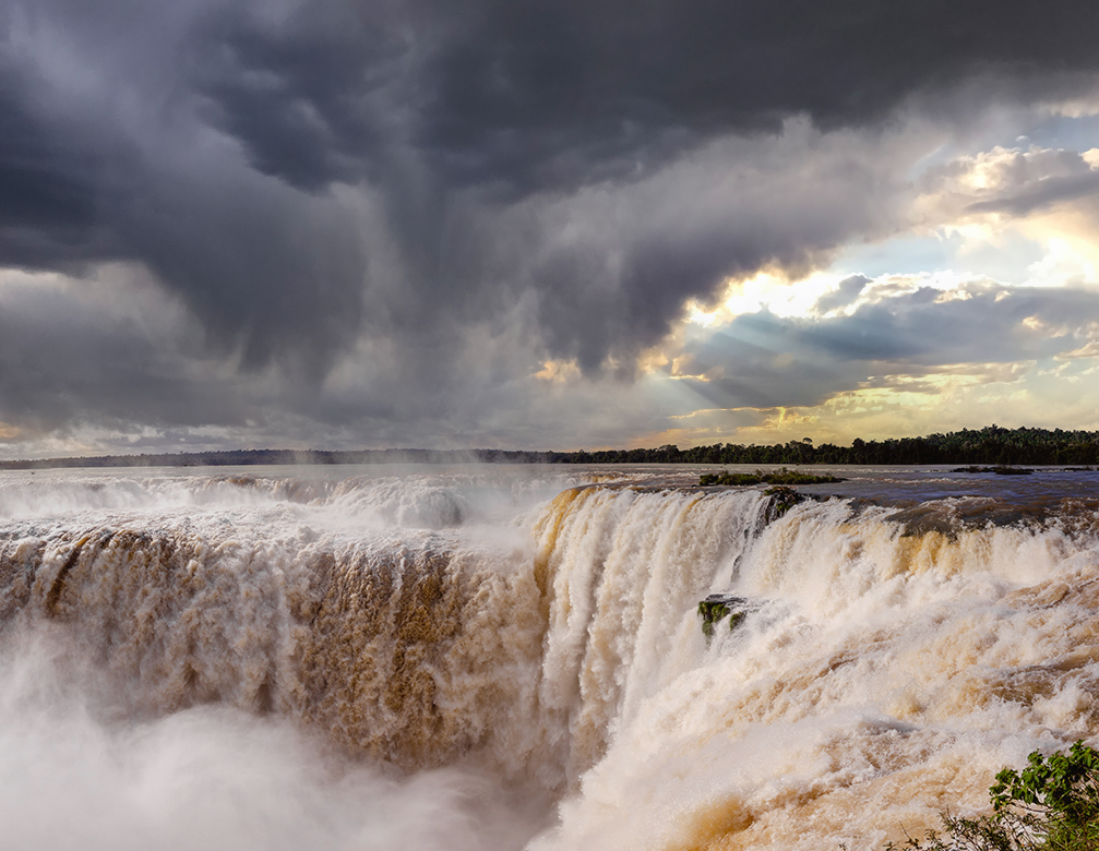
  Elthessera, a new sphere, a pristine sphere, had little in way of interesting landscape. Illu Lumin, the Mother of a Thousand Sylfaodolon, populated the bleak, rocky earth with the first deities.   The sylfaodolon looked around, and thought the pristine was too plain. Some sought to create plants, some sought to create animals, some molded hills and canyons.   Bedhra disliked the flat plain of black rock that met his eyes when he first alit on the surface. He looked left, he looked right, and his disgust grew. In anger, he slammed his hand down onto a particularly hard part, forming a gigantic depression. Water from the oceans rushed in, filling it and creating Bedhra's Sea (now called the Sea of Condioh). The waves of violence warped the earth at the edges, pushing it up and up and creating the Northern Plateau in the north, and the mountain chain in the south (now called the Meygharkin Mountains).   Cracks raced away from the plateau, reaching far into the snowy northern wastes. In time, after sylfaodolon of weather and water created their sphere, water found the cracks and raced down them, heading for the edge of the plateau. Most of the water falling over the edge at the end of the cracks evaporated before reaching the ground, for the plateau towered over the land below, a sheer cliff that rose to the height of the mountains in the south. Not so for the two largest cracks. Enough water poured from them the drops continued to the earth below, creating deep pools of water before carving a way to Bedhra's Sea.   Dragons flew over the two waterfalls, enchanted by the volume of water tearing through the air. They named them Bedhra's Waterfalls, one to the west, one to the east. Later peoples named the westernmost waterfall the Waterfall of Arberiss and the easternmost the Earth Mother's Hand, to honor the world's creator and all sylfaodolon.
Some religious traditions say that Bedhra's anger frightened the few sylfaodolon who had survived the sundering of the Earth Mother's first sphere. They saw in him the anger that drove Chaos in his destruction, and attempted to mitigate the potential damage. He escaped and disappeared into the twilight mists.
 

Waterfall of Arberiss

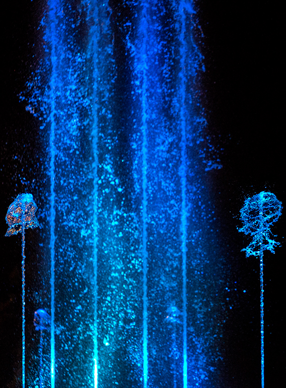
  Named for the home of the sylfaodolon, Waterfall of Arberiss is the westernmost of the two waterfalls. The river that feeds it, the Sheint, begins in the northern wastes of Tranquil and runs southeast through Greenlock and to the cliff's edge. It falls into Calthredrah's Pool, which begins the Shravh River in Stelethasrien. The river runs across Rikondi until it enters the Sea of Condioh in the south.   The Arberiss is not as tall as her sister, making it the second-tallest free waterfall in Seari, but it is far wider. It stretches along the Northern Plateau's cliff face, equivalent to a half-day travel on horseback. The falls area is green, with trees lining the river, and downcliff nooks and crannies hold rich green foliage.   To the west of the waterfall is the Waterfall of Arberiss trail, which snakes back and forth up the cliffside. While steep, it is a quicker route to the top of the plateau than going around to southwestern Greenlock and traveling north.   At the bottom of the waterfall is Calthredrah's Shrine, dedicated to an ancient water deity who has disappeared from human contact. It is a tall, open-walled stone structure with a pointed stone in the center that sprays water like a fountain into the circular base below. The base drains into the Shravh.   Devotees of various water-focused deities make offerings there, and in winter, when ice forms at the top of the falls, followers of sylfaodolon of Frozen Air hold a ceremony on the frozen surface, just before the water cascades over the edge of the cliff. If the ice fails, they hope their deity likes them enough to catch them as they fall.


fountain1.jpg
Structure by Sophie Louisnard Pexels
Rocks by Michael Porter from Pexels
Calthredrah's Shrine


The Earth Mother's Hand Waterfall

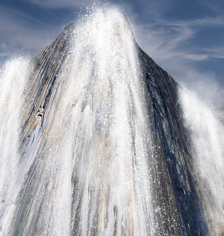
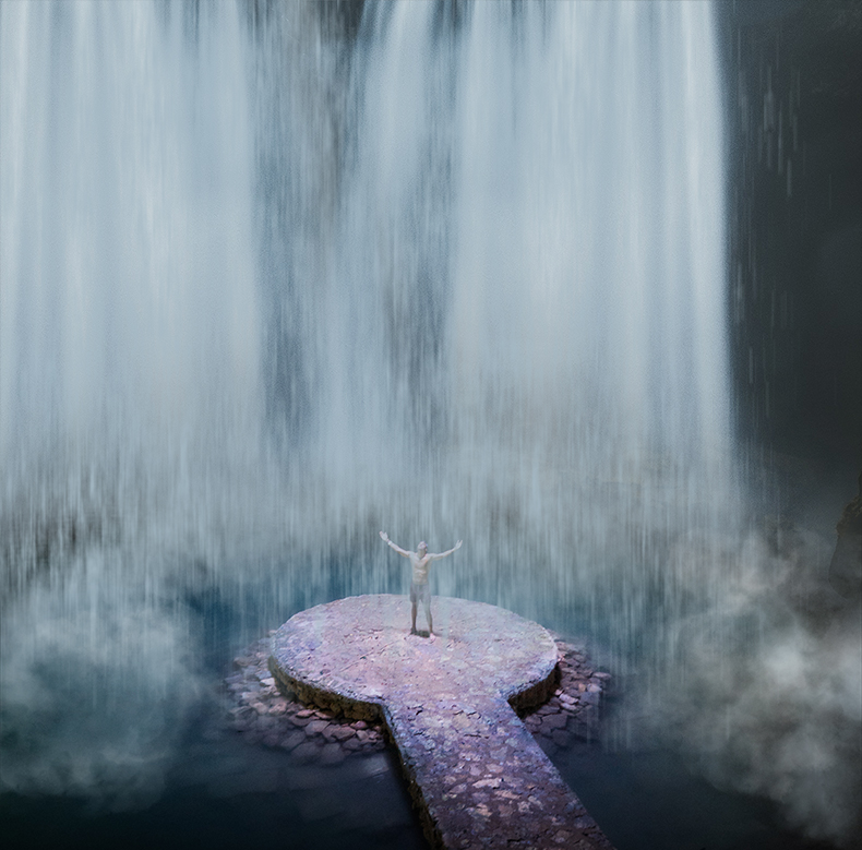
  The Earth Mother's Hand is the easternmost waterfall. The river that feeds it, the Strekzt, begins in Drae-goun and courses over the cliff there. The Ievethrioh River continues through northeast Rikondi and the length of Condioh until it reaches the Sea of Condioh.   While not as wide as its sister, it is taller. The plateau in Drae-goun is not as lush as that in Greenlock, with grasses reaching the edges of the cliff but no trees. While Arberiss is a solid wall of water, the Hand divides into several fingers that race over the edge. There is evidence that Ga Iniria forest garden creators messed around with the waterfall, and Drae-goun scholars believe this is why the rushing water divides into several smaller waterfalls rather than span the cliff in a sheet of water.   To the east of the waterfall is the Earth Trail, which winds back and forth up the face of the cliff. One must travel to Kyranbetht to find a gentler way to the plateau, so most trade that comes through Condioh and Rikondi use this trail to reach the top of the plateau. It is known as the more deadly route because of the many Frozen Air accidents.   Condi siojhetioxh have manipulated the pool into which the Hand falls. While surrounded by greenery, it is a magick-created paradise, unlike the cold, windy top. Temples dedicated to dozens of sylfaodolon line the Ievethrioh, with most having some sort of ritual where they walk on a stone bridge to a platform in the center of the falls, and dip pilgrim heads under the cascading water. Pilgrims pay extravagant amounts for the priveledge.   The Hand is the more famous of the two for another reason. King Giarel of Condioh wished to conquer all of Seari and place it under Jonna Empire rule. After a southern Sea of Condioh land, Yerrist, repelled his invasions, he turned his attention to the plateau. Myth states he sent troops, led by his most powerful siojhetioh, to the Hand Trail, in an attempt at a stealth attack into Drae-goun from an unexpected place. Though apocraphyl, legend claims the Earth Mother's Hand changed course and rained its waters down the Trail, making travel impossible and keeping the Condi where they belonged--beneath the plateau.


cliff by Austin Neill from Unsplash
Top of Earth Mother's Hand Waterfall
   
waterfall Raphael Koh from Unsplash
rock platfrom Darran Lawrence from Pexels
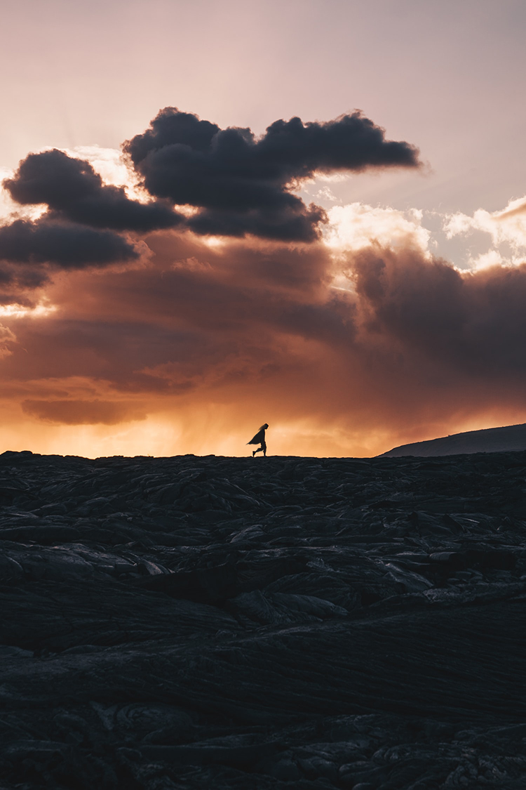
Pilgrim at the Hand

Comments

Please Login in order to comment!
Powered by World Anvil