Zakdengok
The large metropolitan areas where most of the Rilsu population is concentrated.
History
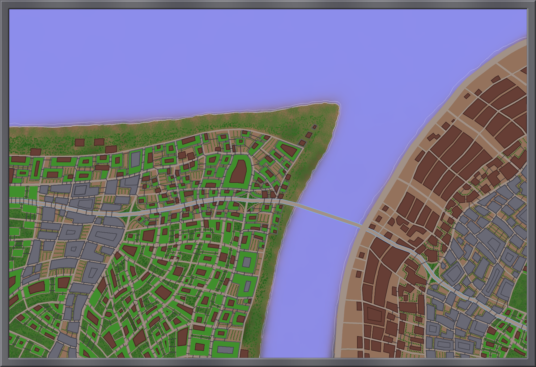
The zakdengok (literally "giant towns") are the result of many smaller settlements growing, filling up the space in between and finally merging into a cohesive cityscape over the course of nearly 800 years.
The Foundation
The majority of Ranul's surface is covered in deserts and the outer face is uninhabitable during most of the year, which is why the fertile coastal zones of the inner seas have attracted people since the dawn of history. All three zakdengok were built upon the ruins left behind by the First Civilization. While the Final War destroyed large parts of the old population centers and the radioactive fallout made them dangerous to explore for many years, some structures were still stable enough to be repurposed and the rubble served as building material in the early days of recolonization.Blurring Lines
The newly-united Rilsu went out of their way to avoid the nationalist mindset of their ancestors. As such, borders between settlements were primarily for administrative purposes and had little effect on the locals' identity. As faster means of traveling were developed and the coverage by public transport improved, these boundaries began to blur. The population growth made it necessary to close the gaps as more and more people needed to fit into the oasis regions.Unification
Eventually, the individual settlements began to merge with each other, forming increasingly large clusters which eventually covered the entire inner shore of their respective sea. The term zakdengok was first recorded in the year 738 VZR and quickly became a popular way of referring to these cityscapes. In 744 VZR, each of them was officially renamed after the region that it occupied.- The one by the Zugnur Sea was renamed to Tundu-Iv, the "heading oasis". This reflects its function as the capital of the Rilsu World Republic.
- The one by the Zugderi Sea was renamed to Unga-Iv, the "sinking sun oasis". This reflects its position in the west of Mustik Hamesi.
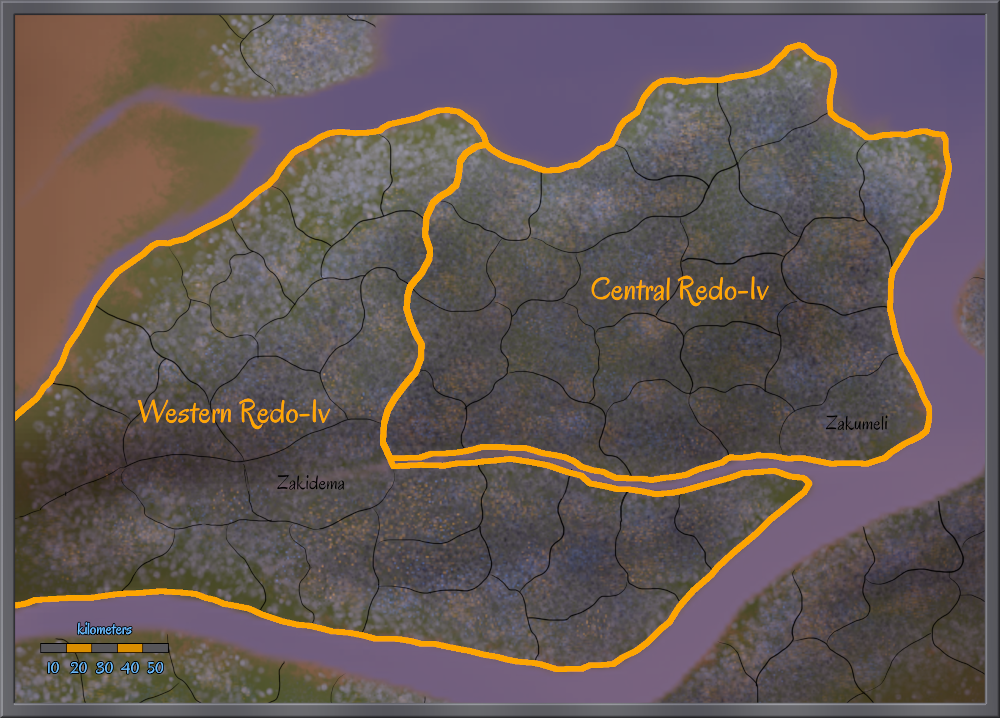
- The one by the Zugzaspo Sea was renamed to Redo-Iv, the "rise oasis". This reflects its position in the east.



Comments