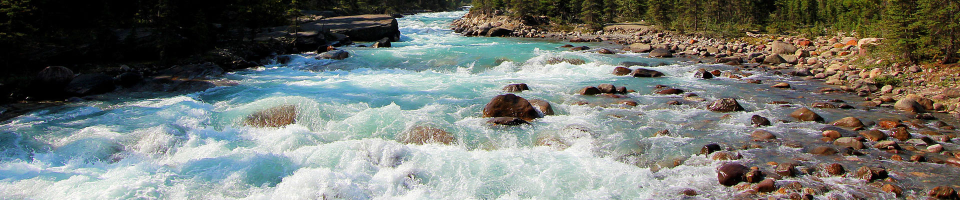
Rey River
The Rey River is known locally as the Road into the Wetlands, for it offers one of the easiest routes into the heart of the Reyheller Wetlands and it's shifting morass of reeds and rushes.
It runs for some 35 miles out of the Wetlands and into Reyheller Gulf, and it's slow moving waters are navigable by raft or canoe for the majority of it's length.
A unique species of river eel inhabits this body of water, known as Dreels. They subsist upon a mixture of algae and carrion, and their presence keeps the river's waters both clean and clear. Dreel meat is favoured in the eateries of Seaton, but it can be a risky catch - specimens over 25 feet in length have been sighted.
Fishers must be careful, as other large predators make their home in the Rey. However, in high summer its banks turned into fields of stinking mud, producing clams and worms that make easy picking for the fisherfolk.

The Rey River by Karim Gebahi

Comments