REGIONS OF THE SOUTH
SUNAR
CENTRAL SUNAR
LOWER SUNAR: THE SUN DELTA
UPPER SUNAR
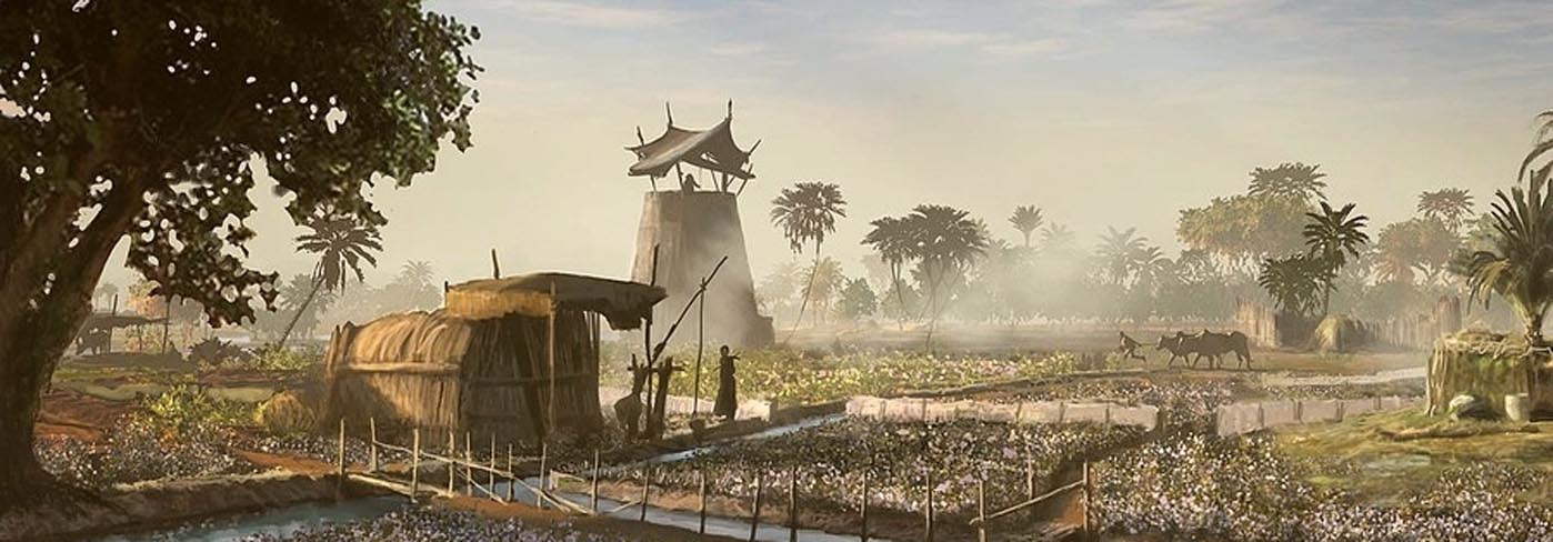
MENMAREXPANDLower Sunar is a wide encompassing area that refers to the empire’s north, ie: the Sun Delta, and all the Sunarian lands spread across Belezine Bay’s southern coastline. More populous than Upper Sunar by almost two to one, Upper Sunar is widely considered the heartland of the Sunarian Empire, and the imperial capital of Sunas exists on its south-westernmost edge, serving as the border between the two Sunars. The bulk of the region is taken up by the populous and fertile Sun Delta, however, because of its prominence, The delta is discussed separately. This leaves the eastern half of Lower Sunar, which while still prosperous is a far cry from the delta. The main reason for this stems from the land’s rockier terrain that makes it less ideal for farming. Not actually along the Sun River, this area of Lower Sunar is more reliant on the Seta River, which is significantly smaller, but just as vital to them as the Sun is to their countrymen in the west. Few trees exist in Lower Sunar, and instead most of the region is covered in rolling hills of farmland, or rocky outcroppings. As such, it like the rest of Sunar is reliant on a foreign source of timber for industry, of which the nearby Bayzun Forest is the main supplier. The big economic trade of this area, though, is without a doubt, mining. Centered around the industrial city of Setkhe, the mines of Lower Sunar are some of the most intensive and densely packed ones anywhere in the world. This is because Setkhe sits atop a deep running supply of copper and silver, that provides almost half the city’s population with work as miners. Furthermore, each of these mines ultimately brings their ore to Setkhe for extraction, forging or trade, making it the central destination of the entire industry. Setkhe also houses the empire’s main minting operation,which is so significant that over half of all coins in circulation are thought to originate from the city. This significance is due entirely to its dominance over the imperial silver supply, which is almost exclusively mined in Lower Sunar. The region also maintains a lengthy coastline running west to ease, and as such, a large part of Lower Sunar borders the calm blue waters of Belezine Bay. Trade by sea is managed largely from the port city of Imadet, with it acting as a major stop for trade between Setkhe and the Sun Delta.
THE OSREEN FLATS
THE SALT COAST
THE HAMERSHET PLATEAU
THE ALHECAT BASIN
THE KARAPESH HIGHLANDS
THE SUNARIAN SEA
THE VALE OF UMRI
THE DYBER WASTE
THE FAR SOUTH
DRUMIDIA
UKHUMBI
NORTHERN EMENSIS
SOUTHERN EMENSIS
THE KAMVALI RAINFOREST
NEBTKA
OLD NEBTKAEXPANDOnce a flourishing and fertile plain, scattered in hundreds of settlements and cities, Nebtka existed for much of its history in disunity, but none the less, in prosperity. Situated at the crossroads between Magna Sunaria and Atlamb, Nebtka benefited greatly from overland trade, and maintained ports in both Belezine Bay and the Boiling Sea, allowing it to be a center of east-west as well as north-south trade. Despite its prosperity though, geography prevented any large empires from forming, and for almost its entire history the country remained fractured into countless minor kingdoms and city states. The men of this region are recorded to have bore a striking similarity to the neighboring people of Sunar, with dark bronze skin, black hair and almond shaped eyes. Ancient Nebtka would be wrought by disaster when the Valoni arrived and attempted to conquer the diverse region. Frustrated by a lack of progress in their conquest though, Valoni engineers attempted to divert sea water to destroy the city of Thamir's farmland. This spiteful act would be more destructive than they could have ever imagined, and over the coming weeks sea water poured into a vast lowland stretching far across Nebtka. Washing over dozens of the region's greatest cities, the ocean would shatter Nebtka forever after and leave it divided by the newly formed Shallow Sea. Eventually joining with Belezine Bay in the west, the shattering of Nebtka would see Atlamb and Magna Sunaria separate as the oceans of east and west met for the first time. Deep enough to bear ocean going ships if managed carefully, the Shallow Sea today exists as a major trade route of the south, with its surviving cities garnering immense profit from the new trade opportunities. From this apocalypse, new religions and identities have emerged among the now scattered survivors, who have formed empires and states around the broken geography of the once fertile plain. Ironically, Thamir, the Valoni's original target, would be one such power. Sitting today at the eastern entrance to the Shallow Sea, Thamir controls all traffic between it and the Boiling Sea and acts as a major trade hub within the fledgling Gorumite Empire, out of Goma.
GORUM
PERSHANI
SEGELKAR MARSH
SHONE
NAUROCHIA
THE VANTHINE HILLS
BAYZUN FOREST
AMODARIA
THE GATES OF CUTAI
THE THRUSH
THE SCREAMING PEAKS
Remove these ads. Join the Worldbuilders Guild












Comments