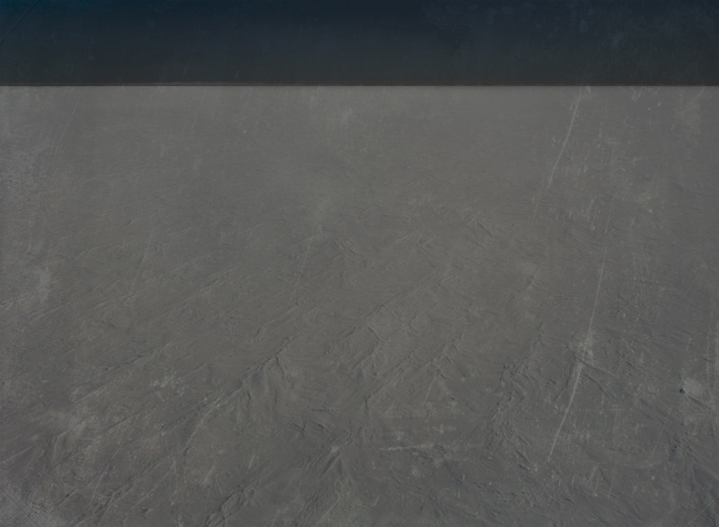
Ingenting Island Group
The winds there could kill you if the cold wouldn't do that first. It is a land of an unyielding freeze. prof. Einar Vonderswer, cartographer first to map the islands
Geography
The group (or archipelago) consists of around 7 islands ranging from sizes of 10-30km2 (the biggest one being 30.5km2 and smallest 10.3km2) and approximately 20 smaller islets. However due to temperatures that can reach as low as -40°C the shallow waters freeze over and create a considerable single mass.
The terrain of the islands is a plain wasteland of snow and ice, possessing none geographic features besides very scarcely appearing smooth rock formations that don't go above a 1.5m tall. The surface is made up mostly of rock and permafrost, covered in a thin layer of ice and frozen snow most of the time. The shore is a steep incline of permafrost and rock, angled approx. 55° upwards. All of the islands are about 3 meters above sea level.
The terrain of the islands is a plain wasteland of snow and ice, possessing none geographic features besides very scarcely appearing smooth rock formations that don't go above a 1.5m tall. The surface is made up mostly of rock and permafrost, covered in a thin layer of ice and frozen snow most of the time. The shore is a steep incline of permafrost and rock, angled approx. 55° upwards. All of the islands are about 3 meters above sea level.
[...] It is as dead as it gets. Never before have I been a witness to such a wasteland and never again do I wish to be. It's a dreadful experience, reeking of abandonment and loneliness. [...] Part of an entry in the diary of dr Halstein Belgrund, a companion of prof. Einar Vonderswer during his expedition to map the islands
Fauna & Flora
Due to the extremely low temperatures and terrible winds, there are almost none living organisms that inhabit these freezing wasteland islands. Only a few pioneering types of moss and primitive ferns that grow underneath rocks are what represents the flora. For fauna, bugs that burrow themselves in the frozen ground and feed on microorganisms are the sole animals that have made their home here.
I have no idea why come to this place in the first place! What are we here to look at? Snow? Lt. Asger Neuborg, military attaché to an expedition of prof. Einar Vonderswer who first mapped the islands
Remove these ads. Join the Worldbuilders Guild


Comments