Map Changelog
This is where the various 'patch notes' for updates to the world map of Hybridis will be placed for reference.
April 20th 2022 Update
-Adjustments to Pheona, including expanding the landmass around it. Added river that encircles the volcano and goes through the Forest of Fog.November 24th 2021 Update:
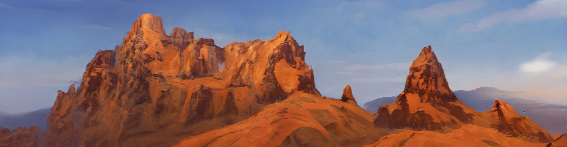
-Map is now complete, every spot has been filled in. Future adjustments will now be revisions or expansions instead of full on additions. -New area: Frozen Fields. A mostly barren and uninhabited area north of Hirzen. -New area: River of Life: A warm river beyond the Frozen Fields, famous for having plant life flourish around it. -New area: Tripeak Desert: A desert named for the three great mountains at its center. -New area: Pheona: The name refers both to the volcano and the country. The capital is located inside the volcano. -New area: Forest of Fog: A forest as thick with fog as the name implies. -Empty spots in map around Dravala and Xilaman filled in. -Label adjustments.December 23rd 2020 Update:
-More isles added to the Revolving Sea. Among them are The Green Isles, The White Isles, and The Horns. Other unlabeled islands were also added. -Outpost of Uyak added to the sea around Hirzen. Basically a tower built in the sea. -Major trade city added towards the center of The Revolving Sea. Though adjacent to a small island it was built in the water. -Small unlabeled trading post added to the water around the swamp near the Hollow Mountains. -Unlabeled city added to the coast east of Vethsmarholm. -Adjusted label for The Revolving Sea to be in all caps for consistency with other regional labels.December 2nd 2020 update
-Labels added, marking the country of Hirzen and its cities, Yazen and Iskyazen.October 21st 2020 Update:
-There is now a compass icon on the upper left corner of the map to mark the directions. -Filled in previously blank section located on the opposite end of the Grey River from Lunis, which is now the savanna Esrena. Location names in Esrena are written in red. -Marked three settlements in Esrena: Cirwen, Curcura, Corkoa. The white lines represent the paths usually taken by the tribes and their settlements. -Added four small islands off the coast of Esrena, though they are counted as part of Esrena. -Added plateau to white section located north of Mondragnes. -Area around plateau has been given a different color to more clearly distinguish it. -Added new settlement east of the plateau. -Reduced density of trees in Xilaman to make way for addition of more Xilian settlements. The forest is still dense, but the map needs space for visibility. -Minor reduction to tree density in Layered Forest, map level change only, the actual state of the forest has not changed. -Volcano added to the northern section of Mondragnes, giving populations there access to materials needed for the construction of cities like Neropolis. -Adjusted placement of the label for Gaiapolis to avoid clash with map contents in Esrena. Plans for future updates: -Find name for region with a plateau and its settlements north of Mondragnes. -Fill in remaining blank spots and add more islands to the Revolving Sea.Remove these ads. Join the Worldbuilders Guild

Comments