Rombald's Moor
Rombald's Moor is an upland heath between Wharfdale and Airedale. It forms part of the Honour of Skipton.
The moor is said to be the territory of Rombald the Giant. Several of the natural stonefields and other features on the moor are said to be the result of an argument between Rombald and his wife, who hurled the stone piles known as the Great Skirtful of Stones and the Little Skirtful of Stones at him as she chased him across the moor during an argument (though some say they are ancient Druidic monuments).
Areas of the moor are named after their nearby parishes: Burley Moor, Morton Moor, Addingham High Moor, Hawksworth Moor, Bingley Moor and Ilkley Moor.

Addingham High Moor by Andy Staples
Geography
The moor is about 8 miles long from north-west to south-east, and about five miles across, forming a plateau around 800 feet above sea level. The highest point of the moor is about 1,300 feet above sea level. The northern slopes of the moor are generally steeper than the slopes on its southern flank. Ilkley Crag and Addingham High Moor, on the northern side, can be difficult to ascend directly, and even the packhorse trail between them winds up what locals call Weary Hill.
 Several paths ond one pack-horse trail cross the moor. Away from the paths the going is tough. Knee-high heather and sedges hide uneven, frequently boggy, terrain, and it can take an hour (and several falls) to travel a mile.
Though the central moor can seem relatively featureless, various crags and rock formations. and sometimes individual rocks, are known and named by folk living around the moor. Most folk will know - and give directions by - the Badger Stone, the Thimble Stones, Green Crag, the Dragon's Eggs and so on.
Several paths ond one pack-horse trail cross the moor. Away from the paths the going is tough. Knee-high heather and sedges hide uneven, frequently boggy, terrain, and it can take an hour (and several falls) to travel a mile.
Though the central moor can seem relatively featureless, various crags and rock formations. and sometimes individual rocks, are known and named by folk living around the moor. Most folk will know - and give directions by - the Badger Stone, the Thimble Stones, Green Crag, the Dragon's Eggs and so on.

Ilkley Crag and Weary Hill by Andy Staples
One of the Thimble Stones from the ridge path near the summit of Rombald's Moor by Andy Staples
Ecosystem
The soils of the moor are acidic and infertile, and only certain plant species thrive there - mostly heather, grasses and sedges. Trees are few; though birches, rowan (mountain ash) and willows can grow, saplings are often eaten by deer or sheep.
Nevertheless, the moors are rich in ground-nesting birds and specialised insects and wildlowers.
Fauna & Flora
The moor is boggy upland heath. Heather dominates the upper areas. Sedges cluster around wetter areas, cotton grass is common, and other upland grasses provide grazing for cattle and sheep. Bracken is common on the lower slopes.
Though the moor looks bleak and brown much of the year, the fresh growth of bracken and bilberries is a lively green in spring, and in August and September the heather blooms pale purple.
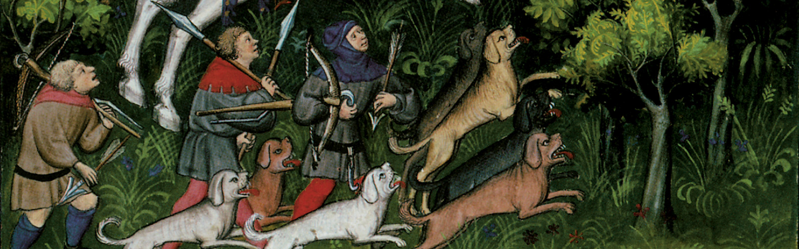
Wolves are sometimes seen or heard on the moor, though shepherds keep a sharp lookout for them and gather villagers to root out any dens. Shy roe deer are sometimes seen in the woods on lower slopes, and occasionally venture onto the moor to graze. Adders - small vipers - lurk in the deep undergrowth; their venom is painful, but rarely fatal except to the elderly or very young.
Red kites and buzzards are the most common birds of prey. Curlews come to the moor in spring and summer, before returning to coastal estuaries in winter. Wildfowl such as ducks and geese are resident in wetland areas, jackdaws are common and numerous small birds make their homes on the moorland. Moorcocks - the local name for red grouse - are common.


Red kite by Andy Staples
Curlew by Andy Staples
Red grouse (moorcock) by Andy Staples
Natural Resources
The major use of the moor is as pasture for sheep and cattle, but there are other resources. A number of peasants cut peat as fuel. The gritty sandstone crags that occur in several places on the moor, and at its edge, provide stones particularly suitable for making millstones and whetstones, and several small quarries supply them.
Bracken from the slopes of the moor is gathered for bedding, and for packing delicate cargo - the River Aire to the south of the moor, is navigable as far as Skipton and river trade can carry goods to the ports on the Humber estuary.
Several moorland plants - notably bilberries and brambles - provide berries for peasants prepared forage. They are mostly found on the lower edges of the moor, close to settlements. Bilberries can be foraged in July and August, blackberries from mid-August to the end of September.
History
William the Conquerer granted Skipton to Robert de Romille, a knight from an old Norman family who fought at the Battle of Hastings. In 1102 King Henry I extended the holding to include most of Upper Wharfedale and Airedale.
Many of the villages and hamlets around the moor suffered during the Harrying of the North.
The moor has a large number of ancient remains - three stone circles, and hundreds of examples of prehistoric rock art. These are known to be of pagan origin; educated people sometimes attribute them to Druids.
 To help counter the pagan remains, a parish priest from Ilkley had a stone cross erected on the high plateau beside the pack-horse route between Ilkley and Bingley around 25 years ago. The effort has been partially successful, as some Ilkley folk have begun to mark festivities around the cross rather than at the pagan Badgerstone as their forebears did.
 The packhorse route over the moor is often used by Cistercian lay brothers of Kirkstall Abbey, as it links their granges on Harden Moor with their granges and vaccaries in Wharfedale. The alternative route, in the valley to the northwest of the moor, would add a day to their journey.

Twelve Apostles stone circle, Roimbald;s Moor by Andy Staples
Medeival cross b eside the packhorse trail over Rombald's Moor by Andy Staples
Medieval packhorse route over Rombald's Moor by Andy Staples
Type
Moor
Location under
Owner/Ruler
Owning Organization

Comments