Ladgan Swamps and Keys
Ladgan (Murkwater)
Viralegan (Coralwater)(Alternate)
Area: 16,196 km2
Elevation: -10m - 10m
Climate Type: Warm Oceanic
Elevation: -10m - 10m
Climate Type: Warm Oceanic
Temperature Ranges:
Summer: 28-34°C
Winter: 18-28°C
Summer: 28-34°C
Winter: 18-28°C
Population: 16,000 Regalti
Notable Settlement: Viralm-Wreth (Coral City)
Notable Settlement: Viralm-Wreth (Coral City)
Notable Animal Species:
Greater Kesmodon
Numerous animal species
Coral Forests
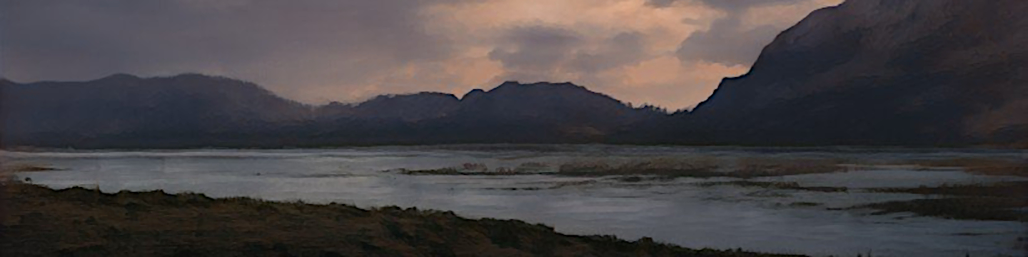
Ladgan Swamps and Keys is a location in far eastern Vefaria. It is the only location on the continent of Kenerif that has Coral Forests, which are "forests" on the beach that are primarily composed of tree-like corals and have an otherworldly appearance from the rest of the surrounding area. Despite the plant-like appearances, Coral, even terrestrial ones, are in fact animals.
Almost The entire marshland is a nature preserve for a great many species of birds and fish, many of which can not be found anywhere else on Knenerif. There are also a number of species of Tronodons that evolved separetely on many of the barrier islands and keys.
The Marshlands sit on the eastern edge of what was once dry land that slowly sank into the ocean over several million years. Coral reefs grew on this The Sunken Lands and built back up, creating a chain of keys/barrier islands that outlines the original coastline. The main landmass of Ladgan itself is the old river delta of the Black River. That river now empties into the Void Lagoon far to the west. The marshlands also regularly get blanketed with ash from the Edagatsra Volcano, less than a hundred kilometers to the west of here.
On the furthest East Key of the islands, which is unironically translated to "East Key" in English, is a fort, still manned by a Fevarik garrison, more out of tradition than any real military use. Called Orange Rock Castle, it was built out of large deposits of Coquina that can be found all over the area..
Centuries ago, there was an attached port, Viralm, that protected ships and stationed a sizable fleet of ships. Using this strategic location, Vefaria was able to defend her waters from a number of threats for centuries. Telegraph lines originally ran from the fort to the mainland hundreds of kilometers away and was used to send messages on ship movements. It was also used to send weather data and warn the mainland of approaching storms. This was well over 700 years ago though. The port city is sunken in the waters and a garrison is maintained at the fort purely for ceremony.
The current city of Viralm-Wreth, lies on the main island 25km to the west. Thousands of people still live there and it is often seen as an excellent beach destination. It is far away from crowded places like Argen where most tourists go, and it stays warm and humid even in the middle of winter, unlike the mainland that often gets hit with cold weather and snow storms.
Location:
 Surrounding Geography:
 Satellite Image:


This is very nice. I love the maps! The first one does have an NES/SNES vibe... It's amazing haha
Glad you liked it! Those maps do have a full sized version (no map pins or anything yet though, just raw images) that you can view here: https://www.worldanvil.com/w/cairn-sector-chrispy0/map/bae10c23-ed6d-4741-9fc3-eac70ac0cbe5
very nice looking map! I am still trying to figure out my map and how I want it to look. I like that Google Maps feel, you can kinda see the elevation. The climate map did hurt my eye a bit haha but not in a bad way :D Overall very well thought out and implemented!