Geography
Course:
Source
Due to the strange geological occurance that is the Muran Inlet, the water from the Obsidian is pulled from the southern sea as opposed to a normally sourced river. There is much speculation over the exact nature of this phenomena: the most common theory is that there is some sort of repellant force or magnetic repulsion originating within the inlet that pushes the water outward and consequentially into the channel that's formed the Obsidian. However, as no ships have survived the winds and storms at the immediate center of the inlet or been to the (presumed) island/s at the center, this theory hasn't been confirmed.
Several smaller currents also travel down from the nearby Traddek Mountains to then converge with the Obsidian, and over the past two centuries manmade efforts have been undertaken to help further redirect these channels toward the Obsidian, in turn decreasing the overall salt content of the river.
Bifurcation at Armistace
The river splits into two separate channels near Armistace, and has since the crusade. Most likely the forking formed due to the granite stock located there. While more water runs down the eastern channel (depending on the season), several streams flow out of the
Etter to feed into the Northern Obsidian.
Delta at Gelid
The river empties into a delta near the Gelid Stretch. Because of the rock formations and tides in this area, it's home to a number of shipwrecks, several of which have been riverboats coming out of the Obsidian.
Features:
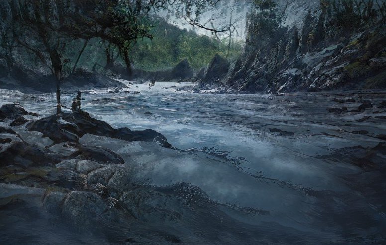
East Etter Rapids
The East Etter Rapids stretch for several miles beginning a few days' ride north of Armistace. The uppermost section of the rapids actually begins in the forest and is considered extremely dangerous water to maneuver. It's comprised of several interweaving streams that run over a
crumbled granite bed—this is theorized to be the result of arcana slowly leaking from the Etter and permeating once-large granite rocks to the point of arcanic reaction, thus breaking apart the granite into smaller rocks and reforming it into the warped and fused sediment bed of the rapids. The resulting rock is blackened, more similar in color to basalt, and is jagged in several sections throughout. Over the past two centuries, several
vale arcanists from Avill Glen have worked to grow thick moss and fungal beds to surround the more lethal sections of rock, however few individuals are still able to survive rafting the upper section.
The lower section of the rapids begins where the Etter streams run into the Obsidian, and are significantly more maneuverable. There is still an abundance of granite in this area, but the effects of arcanic reaction are not present here, and the waves and current are much less hazardous. However, this lower section can be hazardous for other reasons instead. Without the forest covering afforded to the upper rapids, rafters and adventurers here are much more subjected to the elements and a number of predators.
Tusket Canyon
Tusket Canyon is the division between the Eastern Range and the Varghen Mountains in the Outpost province of
the Beourjen Confederacy that essentially leads into Psyche's Pass. The canyon walls are formed of granite and limestone, and the walls themselves are quite beautiful, lined with pyrite slightly above the waterline and sporadic smoky quartz deposits along the waterbed. While the canyon leads only to the concealed pass, many adventurers will still sail the canyon merely to glimpse its beauty and view the dwarven wall carvings interspersed throughout.
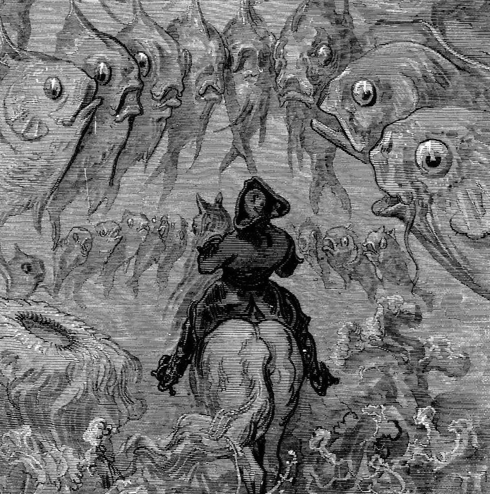
I set my raft in the Etter stream, and let the current take,
A mile in, and the water skins, and my bones begin to shake.
It rushes white then black knives gleam, the first fall round this tree,
The raft near catches, then woodgrain latches, thus Elver hears my plea.
So down I go into sharp seams, inferno in my gut,
The river’s swift, my firmness rifts, as the waves beleague and cut.
They scrape my raft in lethal scheme; so is my boldness frayed,
And then a rock, and the current knocks, my boat ascrape a blade.
My body thrown in wretched scream, wood curling under froth,
Both pulled and ripped, more rocks then clipped, the river now grown wroth.
I’m carried on to grave downstream, and then it’s at this bend,
The blackened sheen, a harrowed scene, right to its edge I wend.
My skull pours out in sanguine stream; my lifeblood shall be reaped,
And thus it goes, my vision slows, to darkness do I sleep.
Thus nightmare turns to mindless dream, and never may I wake.
My breath has ceased, the soul turns east, and I let the current take.— Rhyme from Avill Glen
History
Early Settlements
The Northern Obsidian was used by early Aveaans as early as the fifth century for both travel, and drinking and bathing. It was named by the Aveaan Empress at around the seventh century, however the timing as well as the origin behind its naming are currently unknown—as far back as history recounts, the northern channel of the river was a deep, clear cerulean. Beourjen Annalists from the
arcanic purges noted two intriguing possibilities surrounding the river's name, theorizing that either it must've been named after a previous episode of arcanic contamination, or else that the name was itself one of the empress' prophecies.
Crusade
Crusaders forged the
blood route along the Obsidian, chronicling its initial presence as their 'salvation' and "a gift and sign from the divine Goddess that we have tred the righteous path" (
Forged in Blood). The city of
Armistace was founded at its bifurcation, and the Beourjen half of the resuming travelers continued south upriver.
As the river grew saltier, the travelers slowed their passage and eventually decided to found the city of Beourjen across a wider flowing section of the Obsidian, near several lakes in what would later be the provinces of
Aderia and Clasm. A small population of travelers later would continue southward in pursuit of Beourjen expansion, and found the city of Chamberv near it as well.
Several decades after the founding of both Ethana and Beourjen, an agreement by both governments was made that the river would mark the east-west border between the two nations. Currently, that agreement is still held though there is some dispute over the provinces of Traddeck and Livern in the confederacy.
The Arcanic Purges
In 1493 during Beourjen City's arcanic purges, piles of ashes from the executions and burnings were dumped from the city bridges into the Obsidian as a means of disposal and threat to the citizens of the confederacy. The ashes, being still warm and arcanically reactive, turned the river a thick, glassy black—extremely similar in look and polish to obsidian glass—for several weeks even after the first purges. The river was not used as a drinking or bathing source at the time, however the change in its appearance still caused panic throughout Beourjen City and other cities settled northern along the riverside.
The confederacy and the city itself attempted at first to keep news of the purges from spreading throughout the globe, however the contamination of the Obsidian was evident in Armistace several days after the first ashes were deposited. The river's contamination incited first questioning and concern into the events occuring upriver in the confederacy, and then later anger and shock from the rest of the world upon realizing the genocide that had taken place.
There is no answer to the horrors that have transpired in the past week, that will undoubtedly follow for weeks to come. And there is no answer as to what is right or wrong. It is a tragedy between men that has spread like a plague to become a war among our nation. We must write that Ruskov Marnise is a traitor, a murderer, but what they have not told us to record is that the blood of a thousand men and women runs through our river, that we cloud it with steaming ash until it sluices dark and smooth as blood itself. They tell us to blame the Lord Necromancer, the vampire hidden among our noble lords and ladies, and that the fault rests on all traitorous arcanists within our nation.
What they have not told us to write is how our High Commander gazes at the shining, blackened river. How it is as black now as his coat, his shoes. How he gave the order for so many hundreds of men and women—for children and babies!—to be drained into our once beautiful Obsidian.
— Annalist Camille Riquerre, 1493
The Aqueducts and Water Purification
By the mid-1530s, the population of Beourjen City had grown so that the nearby lakes could not adequately supply water through the city and surrounding provinces. Thus, the
Triadic Councils began funding research toward developing ways of purifying the Obsidian's water and distributing it throughout the city. In 1538,
Lennik Balassar brought forth designs and maps for the first modern piping and sewer system as well as a plan for developing dual aqueduct systems within the city for both the North and South sectors respectively. He credited the ingenuity of the designs to his
orvon protege and apprentice,
Ryven Bekkerd, which was controversial among the city's social classes.
Over the next few months both the sewers and the aqueducts were successfully developed, radically changing the city's functioning and its usage of the Obsidian. Balassar had already secured a fortune from his developing of the steam engine train, however he was granted an even bigger amount for this project. While this in itself was unsurprising, when Balassar died three years later he left the entire amount as well as the sewer maps in the hands of his apprentice. At the start of the books, Ryven still holds both.
Uses
Transport
The Obsidian's most common usage is exporting goods out of the confederacy. Wood and iron ore are two of the biggest exports to Avar, and beer and paper are also largely exported from the confederacy.
Ships do commonly provide passage for people along the Obsidian, however most Beourjen ships only go to Armistace or along the eastern route, as the Northern Obsidian channel just north of Armistace contains a section of narrow, winding rapids that can be dangerous for even smaller boats. This section of the river is also decidedly more dangerous during migration season. Pockets of griffins migrate from the eastern range to the Etter in the late summer and early fall, and their young have been known to swoop down and pick up individuals, or even small boats, traveling along the Obsidian.
Fishing/Hunting
Many types of fish can be found along the Obsidian, and it's fished abundantly for both fresh and saltwater species. Typically, saltwater fish are found south of Beourjen City, and freshwater fish are found anywhere north of the city, however there are a number of species that inhabit both sections of the river. Salmon, bass, and sea trout are widely hunted along the southern section, and trout, catfish, eel, and even crocodile can be found along the northern sections of the river.
Many other animals are also hunted along the river, however restrictions have been set in regards to some species. The Armistace Hunters' Guild has prohibited the hunting of otters, platypi, and ethanian beavers due to their endangerment.
NOTICE
High Lord Tobias Osteron,
It has recently come to our attention that your son, along with members of Noble Houses Val’Eax and Sephere, has been illegally farming Aveaan pearl oysters from the Obsidian just south of Armistace, and that several members of the Beourjen nobility have also been consuming Obsidian pearls as an additive to wine and other spirits. We would kindly remind you that due to the severe decrease in population of Aveaan pearl oysters over the past decade, these oysters may only be hunted by approved members of the Armistace Fishers’ Guild and that failure to comply may result in fines of up to two hundred gold. Furthermore, the purposeful destruction or unpermitted usage of Obsidian pearls by any individual is subject to fines of up to three hundred gold.
Thank you,
Armistace Trade
Drinking
As of 1538, the majority of the Obsidian north of Beourjen City is suitable for drinking. Individuals drinking from some of the sections just north of Armistace have reported
slight mood alterations afterward, however it's otherwise considered safe. The water running through
South Beourjen, before reaching the secondary aqueducts, is highly toxic from contaminant waste and the water south of the city is still considered to be relatively high in salt content.


Love how much detail is here, especially the History! Great article!! ---------------------------------------------------------------- Feel free to check out my Rivers/Waterways entry: Loch Mesner
Thanks so much for the feedback!